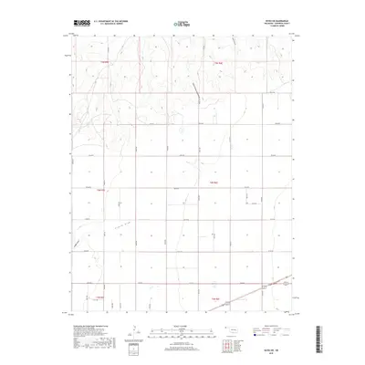
2018 Map of Keyes SW
USGS Topo · Published 2018About this map
Ephemeral watercourses define the high plains drainage of this Cimarron County landscape, where South Picket House Draw and King Draw cut across the northern sections. The terrain is organized by a precise grid of rural section-line roads, including N0300 Rd and E0120 Rd, reflecting the enduring Public Land Survey System structure in the Oklahoma Panhandle. This area remains largely defined by its topography and the intermittent flow of French Draw and Adobe Draw, which shape the local contours. The intersection of local connectors like N0330 Rd and E0170 Rd facilitates movement through this sparsely populated agricultural region, showcasing the systematic layout of the Oklahoma land townships near the state's western edge.
Find a feature on this map
32 named features on this map. Tap any name to fly to it.
Don’t see what you’re looking for? This feature index may not catch every label — zoom into the map to look around manually.
Map Details
Editions of this 2018 Keyes SW Map
This is the sole edition of this map. No revisions or reprints were ever made.
Other maps of this area

1954 · Dalhart
USGS Topo · 1:250,000

1958 · Dalhart
USGS Topo · 1:250,000

1962 · Dalhart
USGS Topo · 1:250,000

1969 · Boise City
USGS Topo · 1:24,000

1969 · Flagg Springs
USGS Topo · 1:24,000
1969 · Razor Blade Mesa
USGS Topo · 1:24,000

1971 · Keyes SW
USGS Topo · 1:24,000

1971 · Keyes West
USGS Topo · 1:24,000

1971 · Keyes NW
USGS Topo · 1:24,000

1971 · Keyes NE
USGS Topo · 1:24,000