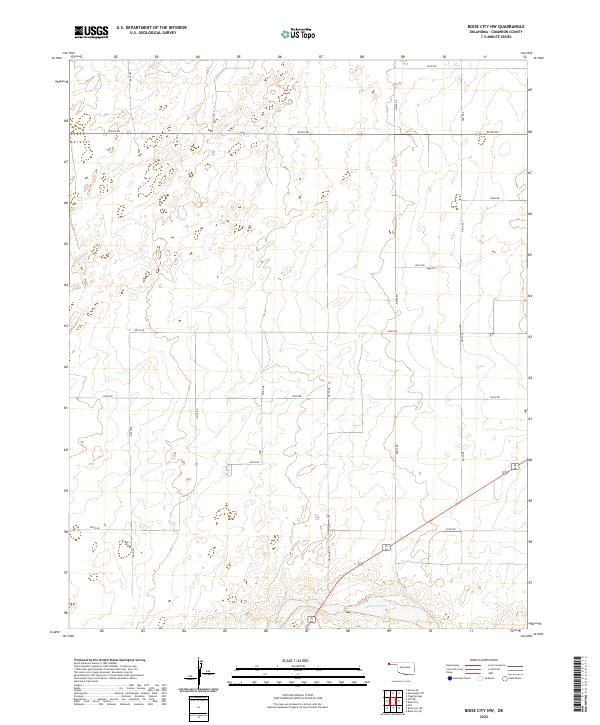
2022 Map of Boise City NW
USGS Topo · Published 2022About this map
Beaver River flows through the southern reaches of this Cimarron County landscape, defining the local topography in an otherwise strictly gridded section of the Oklahoma Panhandle. This region is characterized by the Public Land Survey System, with township boundaries for T3n R3e, T3n R4e, T2n R3e, and T2n R4e meeting at a central point. The terrain is marked by a network of rural section-line roads, such as N0170 Rd and E0190 Rd, which dictate the movement of agriculture and commerce across the plains. This mapping, produced by the U.S. Geological Survey, illustrates the persistence of the early territorial grid in a modern context, where the few natural deviations, like the river's winding path, stand out against the geometric precision of the landscape.
Find a feature on this map
21 named features on this map. Tap any name to fly to it.
Don’t see what you’re looking for? This feature index may not catch every label — zoom into the map to look around manually.
Map Details
Editions of this 2022 Boise City NW Map
This is the sole edition of this map. No revisions or reprints were ever made.
Other maps of this area

1954 · Dalhart
USGS Topo · 1:250,000

1958 · Dalhart
USGS Topo · 1:250,000

1962 · Dalhart
USGS Topo · 1:250,000

1969 · Boise City
USGS Topo · 1:24,000

1969 · Boise City NW
USGS Topo · 1:24,000

1969 · Boise City SW
USGS Topo · 1:24,000

1969 · Felt
USGS Topo · 1:24,000

1969 · Flagg Springs
USGS Topo · 1:24,000

1969 · Boise City SE
USGS Topo · 1:24,000

1969 · Felt NE
USGS Topo · 1:24,000