Old Maps of The Holy City, Oklahoma for Academic Research
Study the evolution of The Holy City with 14 high-resolution historic maps. Whether you're teaching, researching, or modeling changes in land use, these maps provide essential visual documentation of urban, environmental, and geographic change.
- Analyze long-term change: Track patterns in development, transportation, and natural features.
- Ideal for environmental or urban studies: Support academic projects with primary historical map data.
- Use in the classroom or lab: Educators and researchers rely on these maps to bring historical context to life.
These maps are a powerful tool for teaching, research, and visualizing how The Holy City has changed over the decades.
The Holy City, OK maps
(14)- 1937 Map of Cache
 1937 Cache1937 Print · USGSComanche County reveals its dual nature in the late thirties, split between the high peaks of the Wichita Mountains and the rural farmsteads to the south. Genealogists and historians can locate vanished landmarks like Quilla Sch, Deyo Sch, and the Cache Cem during the height of the local rail-and-ranch economy.
 - 1942 Map of Cache
 1942 Cache1942 Print · USGSComanche County during the late 1930s reveals a unique landscape where the Wichita Mountains Wildlife Refuge meets the rail-side towns of the plains. Genealogists can trace rural life through sites like Post Oak Mission, Devo Memorial Chapel, and the Spring Valley Sch.3 unique versions available
 - 1949 Map of Mount Scott, 1952 Print
 1949 Mount Scott1952 Print · USGSThe Wichita Mountains meet the Fort Sill Military Reservation in the late 1940s, showing a landscape of granite peaks and new reservoirs. Genealogists and historians can locate Medicine Park, the Spring Valley Sch, and the Easter Pageant grounds.2 unique versions available
 - 1955 Map of Lawton, 1958 Print
 1955 Lawton1958 Print · USGSSouthwestern Oklahoma and North Texas are shown here in the mid-fifties, dominated by the Wichita Mountains and the vital Red River watershed. Genealogists and historians can trace the foundations of Lawton alongside rural landmarks like Rainy Mountain Church and Pleasant Hill School.5 unique versions available
 - 1956 Map of Mount Scott, 1959 Print
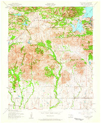 1956 Mount Scott1959 Print · USGSThe Wichita Mountains in the mid-fifties reveal a unique landscape shared between the Fort Sill Military Reservation and federal wildlife lands. Researchers can trace the layout of Medicine Park, find the Holy City Church, and locate the St Louis San Francisco rail line through Cache.5 unique versions available
 - 1956 Map of Cache, 1960 Print
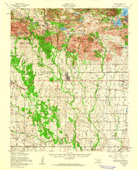 1956 Cache1960 Print · USGSSouthwestern Oklahoma at the peak of the mid-century era shows a landscape defined by federal land reserves and rural rail towns. Researchers can trace family history at the Deyo Memorial Chapel or explore the early footprints of Cache and Indiahoma.3 unique versions available
 - 1981 Map of Lawton
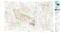 1981 Lawton1981 Print · USGSSouthwestern Oklahoma in the early eighties shows a landscape shaped by military history and the rising peaks of the Wichitas. Researchers can trace the boundaries of the Fort Sill Military Reservation and locate early settlements like Meers, Chattanooga, and Richards Spur.
 - 1991 Map of Mount Scott, 1992 Print
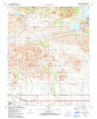 1991 Mount Scott1992 Print · USGSComanche County is shown at a time when the peaks of the Wichita Mountains met the expansive training grounds of Fort Sill. Researchers can locate the grounds of The Holy City, trace the streets of Medicine Park, or find family sites near Cache Cemetery and Komah Mem Ch.
 - 1997 Map of Mount Scott, 2000 Print
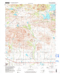 1997 Mount Scott2000 Print · USGSComanche County during the late nineties shows a fascinating intersection of military training grounds and wildlife conservation. Genealogists and local historians can trace the area around Cache, the resort streets of Medicine Park, or the grounds of The Holy City.
 - 2010 Map of Mount Scott, 2010 Print
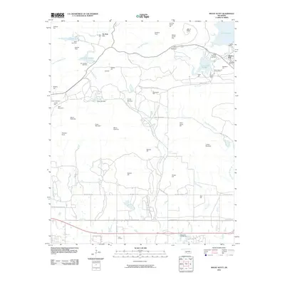 2010 Mount Scott2010 Print · USGSThe peaks and reservoirs north of Lawton come into focus in this 2010 survey of the Wichita Mountains area. Genealogists and historians can locate The Holy City, trace the grounds of Medicine Park, or find family names at Cache Cemetery.
 - 2012 Map of Mount Scott, 2012 Print
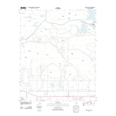 2012 Mount Scott2012 Print · USGSComanche County’s high peaks and resort lakes are captured here in the early 2000s, centered on the landmark of Mt Scott. Researchers can trace local landmarks like The Holy City, Medicine Park, and the long-established Cache Cemetery.
 - 2016 Map of Mount Scott, 2016 Print
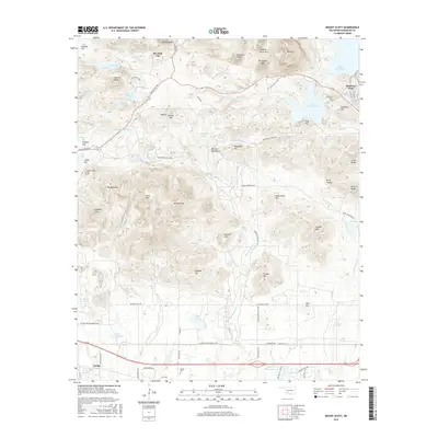 2016 Mount Scott2016 Print · USGSOklahoma's Wichita Mountains come to life in this survey, showcasing the high peaks and reservoirs surrounding Lawton. Researchers can trace the layout of Medicine Park, find the location of The Holy City, or follow trails to landmarks like Mount Scott.
 - 2018 Map of Mount Scott, 2018 Print
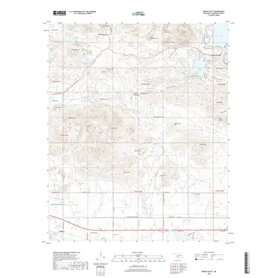 2018 Mount Scott2018 Print · USGSThe Wichita Mountains in Comanche County come alive in this 2018 survey, highlighting the unique intersection of rugged terrain and resort history. Genealogists and hikers can trace routes through Medicine Park, The Holy City, and the slopes of Mt Scott.
 - 2022 Map of Mount Scott, 2022 Print
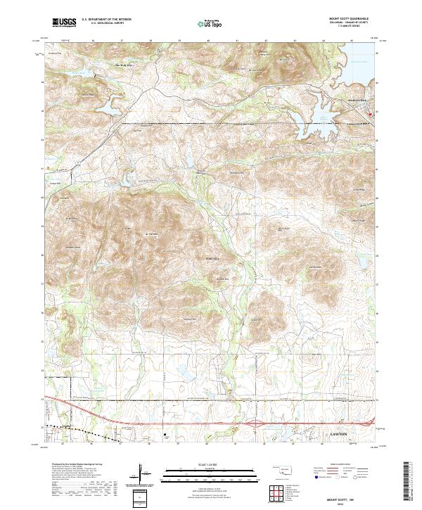 2022 Mount Scott2022 Print · USGSThe granite peaks of the Wichita Mountains and the unique resort architecture of Medicine Park define this Oklahoma landscape. Researchers can trace the Military Res Boundary Line or locate sites like The Holy City, Cache Cem, and Mt Scott.
End of results
Showing maps 1-14 of 14
Top cities near The Holy City
- Lawton historical maps
- Cache historical maps
- Apache historical maps
- Medicine Park historical maps
- Indiahoma historical maps
Frequently asked questions
- What are the different types of historical maps available for The Holy City?
- What is the oldest map of The Holy City?
- Where can I purchase historical maps of The Holy City for my home or office?
- Where can I download high-res historical maps of The Holy City?
- Are there historical topographic maps available for The Holy City?
- Is there historical aerial imagery available for The Holy City?
- Where are historical maps of The Holy City sourced from?