2000s (21st Century) Maps of Welch, Oklahoma
Explore 10 historic maps of Welch from the 2000s (21st Century). These maps offer a rare glimpse into what life looked like during the 2000s — showing old roads, neighborhoods, homes, and landmarks that have changed or disappeared over time.
Whether you're researching your family's past, planning a metal detecting trip, or studying how Welch's landscape evolved across the 2000s, these high-resolution maps are a powerful tool for exploring the history of this region.
- Focus on a specific era: All maps on this page are from the 2000s, giving you a focused view of this time period.
- See what’s changed: Compare century-old streets, trails, and buildings to today's modern landscape using overlays and satellite layers.
- Research with precision: Use these maps for genealogy, historical research, land use analysis, or educational projects.
- View, download, or print: Maps are fully viewable online in high resolution, and can be downloaded or printed for your own records.
Start exploring Welch's history through authentic maps from the 2000s. This is your window into the past.
Welch, OK maps
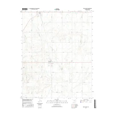
(10)- 2010 Map of Welch South, 2010 Print
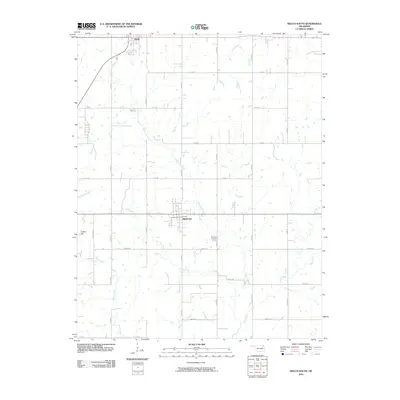 2010 Welch South2010 Print · USGSCovers Welch, including Bluejacket, Craig County, and other nearby areas
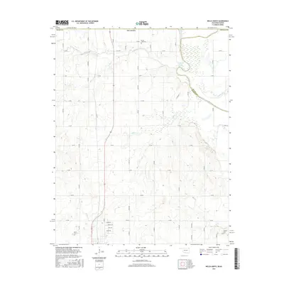
 - 2010 Map of Welch North, 2010 Print
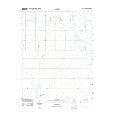
 2010 Welch North2010 Print · USGSCovers Welch, including Ottawa County, Labette County, and other nearby areas
 - 2012 Map of Welch North, 2012 Print
 2012 Welch North2012 Print · USGSCovers Welch, including Ottawa County, Labette County, and other nearby areas
 - 2012 Map of Welch South, 2012 Print
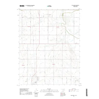
 2012 Welch South2012 Print · USGSCovers Welch, including Bluejacket, Craig County, and other nearby areas
 - 2016 Map of Welch South, 2016 Print
 2016 Welch South2016 Print · USGSCovers Welch, including Bluejacket, Craig County, and other nearby areas
 - 2016 Map of Welch North, 2016 Print
 2016 Welch North2016 Print · USGSCovers Welch, including Ottawa County, Labette County, and other nearby areas
 - 2019 Map of Welch North, 2019 Print
 2019 Welch North2019 Print · USGSCovers Welch, including Ottawa County, Labette County, and other nearby areas
 - 2019 Map of Welch South, 2019 Print
 2019 Welch South2019 Print · USGSCovers Welch, including Bluejacket, Craig County, and other nearby areas
 - 2022 Map of Welch South, 2022 Print
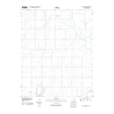
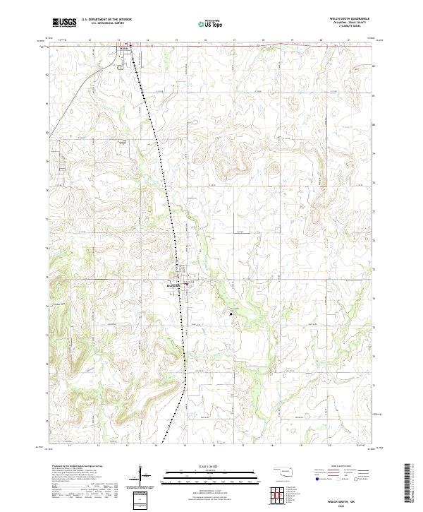 2022 Welch South2022 Print · USGSCraig County’s prairie landscape is mapped here in the early twenty-first century, centered on the railroad corridor and local farm roads. Researchers can locate Bluejacket Cem, trace the path of the Union Pacific Railroad, and follow the winding course of Little Cabin Cr.
 - 2023 Map of Welch North, 2023 Print
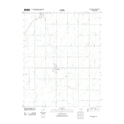
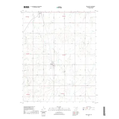
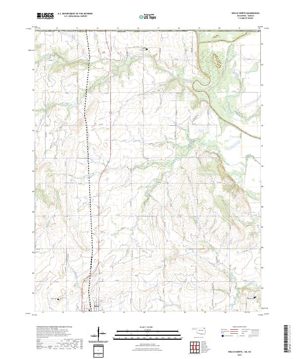 2023 Welch North2023 Print · USGSThe northern reaches of Craig County appear here in their modern agricultural layout, centered on the settlement of Welch. Researchers can trace old family footprints at Russell Creek Cem, Welch Cem, and Williams Cem or follow the banks of the Neosho River.
End of results
Showing maps 1-10 of 10
Top cities near Welch
- Miami historical maps
- Vinita historical maps
- Commerce historical maps
- Chetopa historical maps
- Afton historical maps
- North Miami historical maps
See more
Frequently asked questions
- What are the different types of historical maps available for Welch?
- What is the oldest map of Welch?
- Where can I purchase historical maps of Welch for my home or office?
- Where can I download high-res historical maps of Welch?
- Are there historical topographic maps available for Welch?
- Is there historical aerial imagery available for Welch?
- Where are historical maps of Welch sourced from?