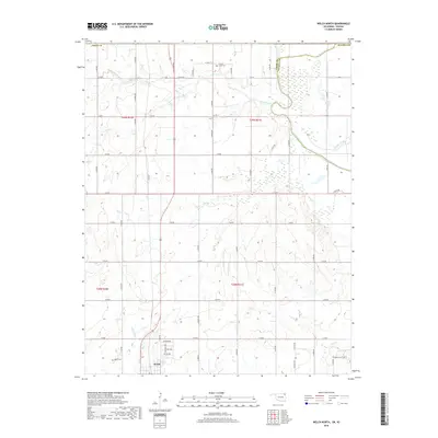
2019 Map of Welch North
USGS Topo · Published 2019About this map
The town of Welch anchors this 2019 survey, situated at the junction of several section roads in northeastern Oklahoma. The landscape is defined by the drainage basins of Russell Creek, Mud Creek, and Little Cabin Creek, which move through a mosaic of agricultural allotments. Along the border of Craig County and Ottawa County, the Neosho River provides a significant watercourse, while numerous smaller tributaries like Fly Creek and Squaw Creek cut through the terrain. Genealogists will find several burial sites preserved in the landscape, including Russell Creek Cemetery and Williams Cemetery, which serve as quiet markers of the area's rural history. The grid-based road network, including Addison Avenue and various county roads, reflects a long-established pattern of land division that remains largely intact in this modern record.
Find a feature on this map
50 named features on this map. Tap any name to fly to it.
Don’t see what you’re looking for? This feature index may not catch every label — zoom into the map to look around manually.
Map Details
Editions of this 2019 Welch North Map
This is the sole edition of this map. No revisions or reprints were ever made.
Other maps of this area

1886 · Joplin
USGS Topo · 1:125,000

1886 · Parsons
USGS Topo · 1:125,000

1893 · Parsons
USGS Topo · 1:125,000

1894 · Joplin
USGS Topo · 1:125,000

1901 · Vinita
USGS Topo · 1:125,000

1907 · Wyandotte
USGS Topo · 1:125,000

1909 · Wyandotte
USGS Topo · 1:125,000

1913 · Vinita
USGS Topo · 1:125,000

1918 · Columbus
USGS Topo · 1:62,500

1944 · Oswego
USGS Topo · 1:62,500