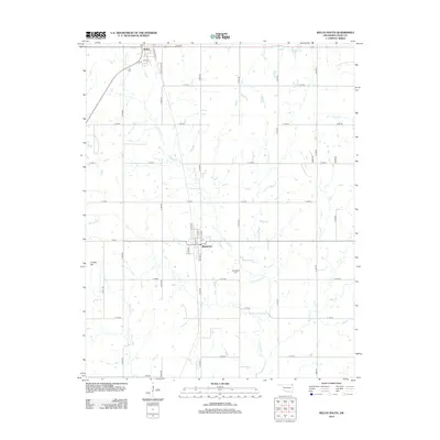
2012 Map of Welch South
USGS Topo · Published 2012About this map
Bluejacket and the southern outskirts of Welch anchor this northeast Oklahoma landscape, where the prairie is defined by a dense network of sectional roads and meandering watercourses. The town of Bluejacket is situated along HWY-25, serving as a focal point for the surrounding rural homesteads. To the southeast, the Bluejacket Cem provides a significant touchstone for genealogical research, while the natural rise of Timber Hill stands out against the relatively level terrain.
Find a feature on this map
42 named features on this map. Tap any name to fly to it.
Don’t see what you’re looking for? This feature index may not catch every label — zoom into the map to look around manually.
Map Details
Editions of this 2012 Welch South Map
This is the sole edition of this map. No revisions or reprints were ever made.
Other maps of this area

1901 · Vinita
USGS Topo · 1:125,000

1907 · Wyandotte
USGS Topo · 1:125,000

1909 · Wyandotte
USGS Topo · 1:125,000

1913 · Vinita
USGS Topo · 1:125,000

1954 · Tulsa
USGS Topo · 1:250,000

1958 · Tulsa
USGS Topo · 1:250,000
1961 · Miami NW
USGS Topo · 1:24,000

1961 · Miami SW
USGS Topo · 1:24,000

1963 · Tulsa
USGS Topo · 1:250,000
1971 · Pyramid Corners
USGS Topo · 1:24,000