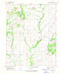
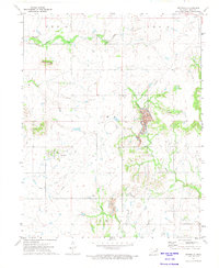
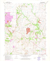
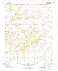
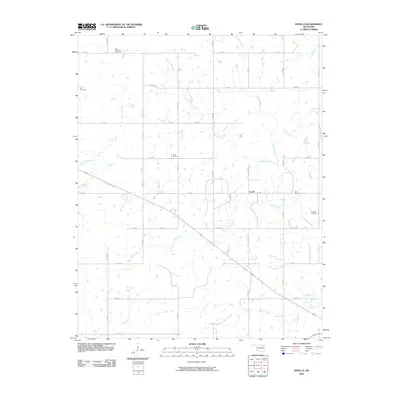
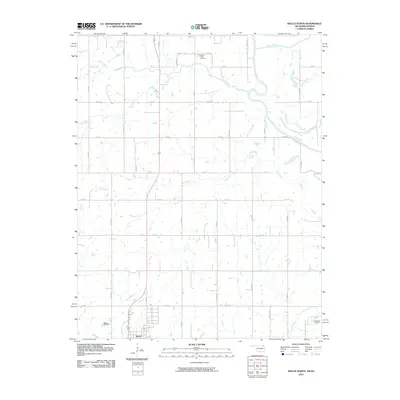
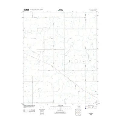
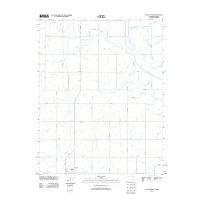
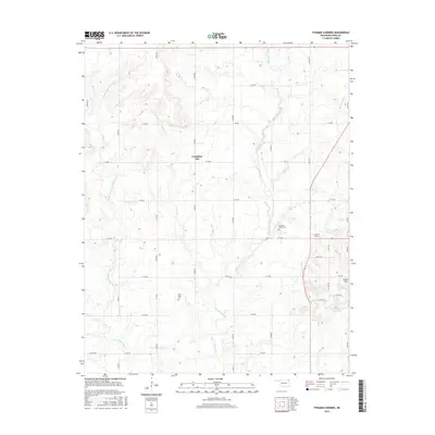
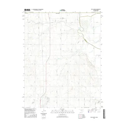
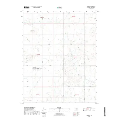
1971 Map of Pyramid Corners
USGS Topo · Published 1973About this map
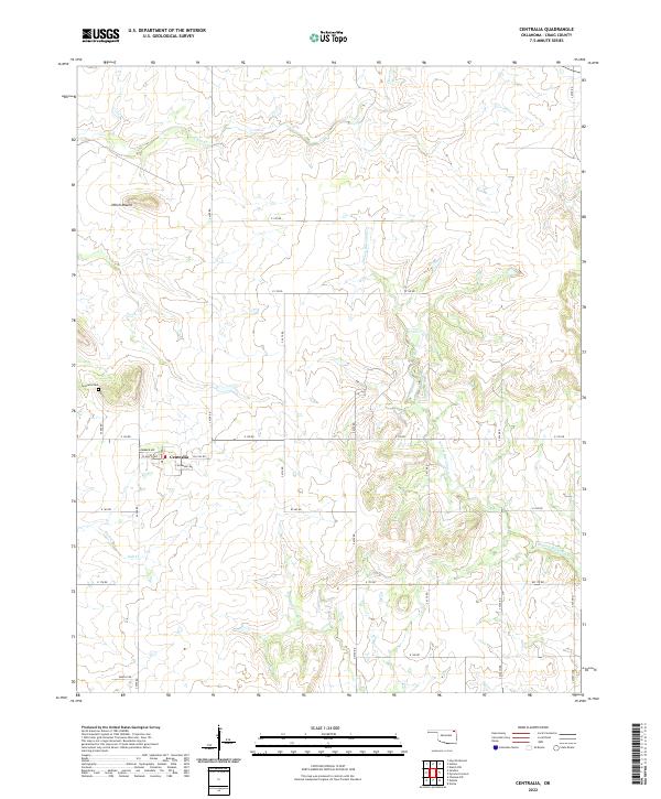
Big Cabin Creek and its many tributaries, including Frazier Branch, McDonald Branch, and Whisky Branch, define the rural landscape of Craig County in the early 1970s. This survey captures a moment of active resource extraction, with significant Strip Mines operating in the northern sections and a Gravel Pit to the south. The small settlement at Pyramid Corners sits as a local anchor near the eastern edge of the sheet, while the surrounding countryside is marked by community landmarks like the Timber Hill Ch and Pleasant Valley Cem. The topography transitions from the open stretches of Cocklebur Flat to the distinct elevation of Timber Hill. A Gaging Station and Radio Tower point to the modern infrastructure supporting this agricultural and industrial corridor as it appeared during the 1971 field check.
Find a feature on this map
28 named features on this map. Tap any name to fly to it.
Don’t see what you’re looking for? This feature index may not catch every label — zoom into the map to look around manually.
Map Details
Editions of this 1971 Pyramid Corners Map
This is the sole edition of this map. No revisions or reprints were ever made.
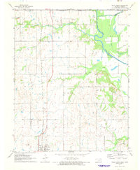
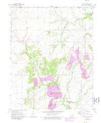
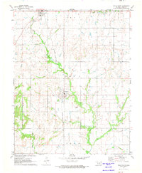
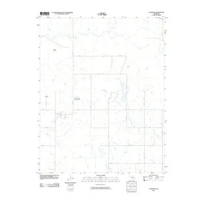
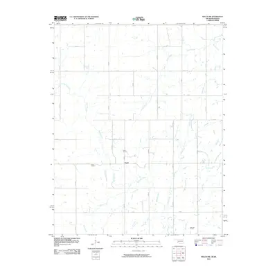
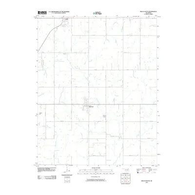
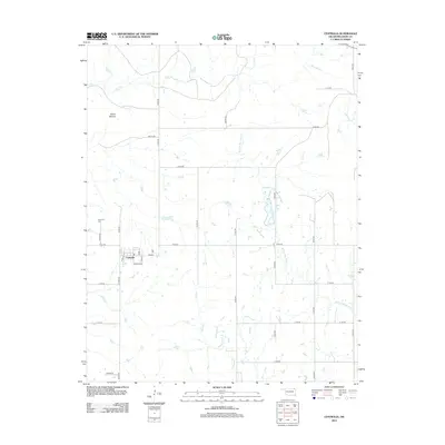
Historical Maps of Cocklebur Flat Through Time
48 maps found
1971 Pyramid Corners
Craig County, OK

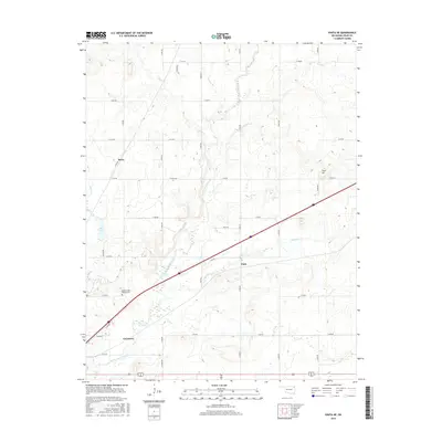
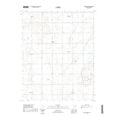
1971 Vinita NE
Craig County, OK
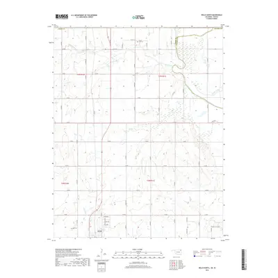
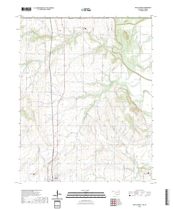
1971 Welch North
Craig County, OK
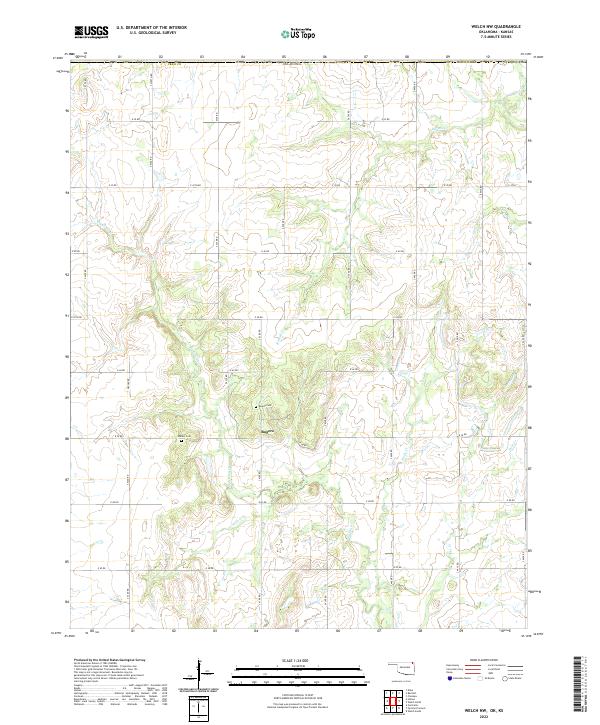
1971 Welch NW
Craig County, OK
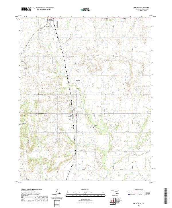
1971 Welch South
Craig County, OK
1972 Centralia
Craig County, OK
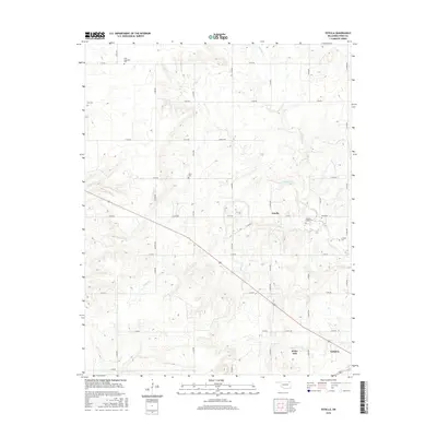
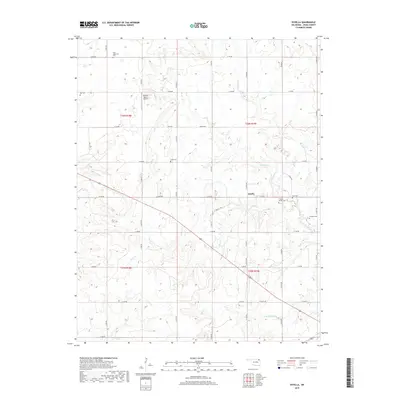
1972 Estella
Craig County, OK
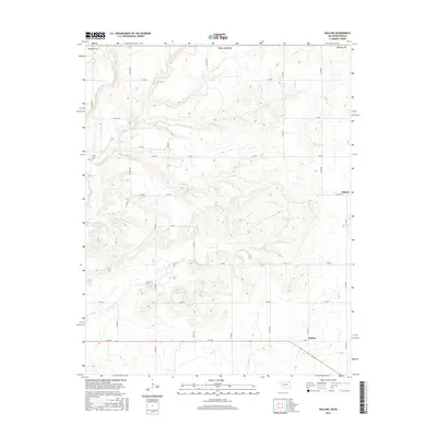
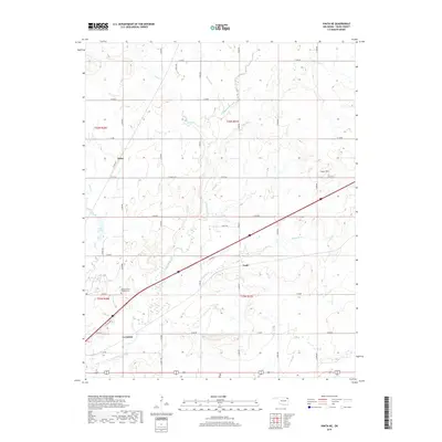
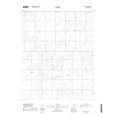
1972 Hollow
Craig County, OK
2010 Centralia
Craig County, OK
2010 Estella
Craig County, OK
2010 Hollow
Craig County, OK
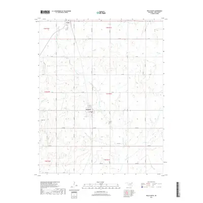
2010 Pyramid Corners
Craig County, OK
2010 Vinita NE
Craig County, OK
2010 Welch North
Craig County, OK
2010 Welch NW
Craig County, OK
2010 Welch South
Craig County, OK
2012 Centralia
Craig County, OK
2012 Estella
Craig County, OK
2012 Hollow
Craig County, OK
2012 Pyramid Corners
Craig County, OK
2012 Vinita NE
Craig County, OK
2012 Welch North
Craig County, OK
2012 Welch NW
Craig County, OK
2012 Welch South
Craig County, OK
2016 Centralia
Craig County, OK
2016 Estella
Craig County, OK
2016 Hollow
Craig County, OK
2016 Pyramid Corners
Craig County, OK
2016 Vinita NE
Craig County, OK
2016 Welch North
Craig County, OK
2016 Welch NW
Craig County, OK
2016 Welch South
Craig County, OK
2018 Hollow
Craig County, OK
2019 Centralia
Craig County, OK
2019 Estella
Craig County, OK
2019 Pyramid Corners
Craig County, OK
2019 Vinita NE
Craig County, OK
2019 Welch North
Craig County, OK
2019 Welch NW
Craig County, OK
2019 Welch South
Craig County, OK
2022 Centralia
Craig County, OK
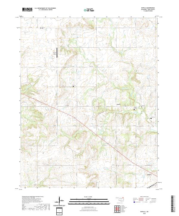
2022 Estella
Craig County, OK
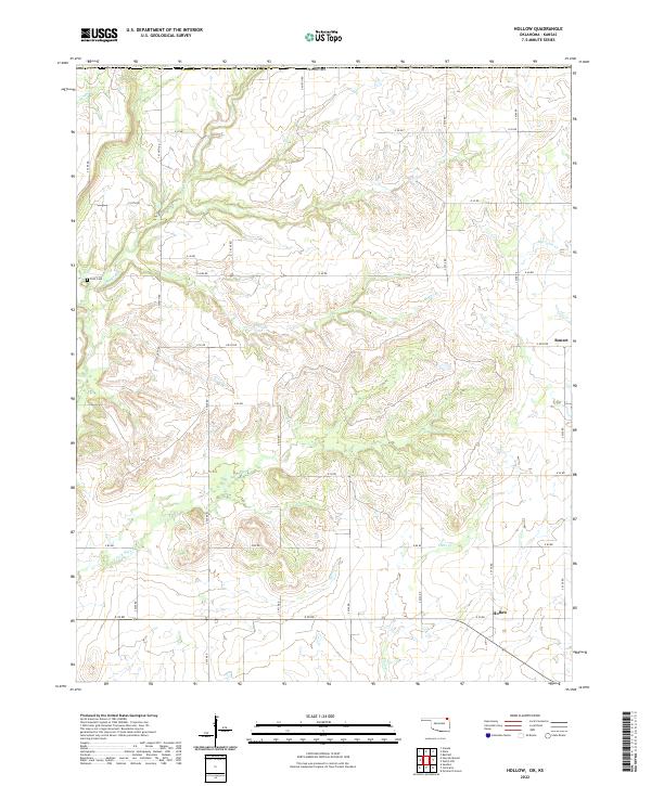
2022 Hollow
Craig County, OK
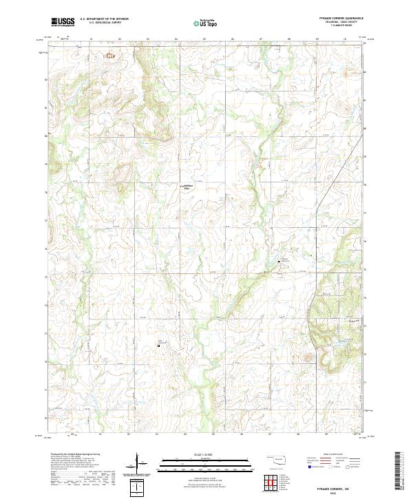
2022 Pyramid Corners
Craig County, OK
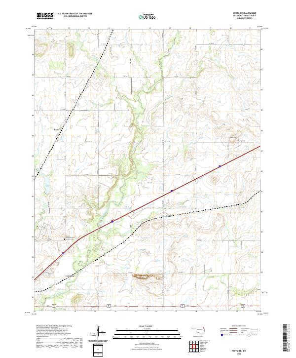
2022 Vinita NE
Craig County, OK
2022 Welch NW
Craig County, OK
2022 Welch South
Craig County, OK
2023 Welch North
Craig County, OK