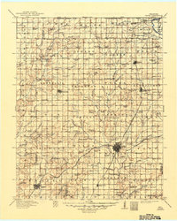
1971 Map of Vinita
USGS Topo · Published 1973About this map
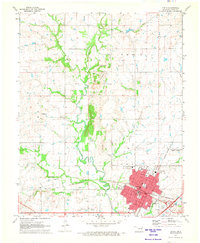
Vinita serves as a significant regional hub in Craig County during the early 1970s, where the convergence of the Missouri - Kansas - Texas and St Louis San Francisco railroads anchors the local economy. The town's institutional character is defined by large facilities like the Eastern Oklahoma State Hospital and Home of Hope, while its residential core is supported by numerous neighborhood schools including Ewing-Halsell High School and Hall-Halsell School. Outside the urban center, the landscape is shaped by the winding course of Big Cabin Creek and its tributaries, interspersed with several family-named burial grounds such as Schrimpsher Cemetery and Keys Cemetery. Significant modern infrastructure, most notably the Will Rogers Turnpike and its associated Vinita Interchange, marks the transition toward increased highway connectivity in this corner of Oklahoma.
Find a feature on this map
45 named features on this map. Tap any name to fly to it.
Don’t see what you’re looking for? This feature index may not catch every label — zoom into the map to look around manually.
Map Details
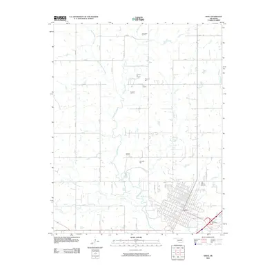
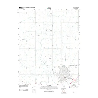
Editions of this 1971 Vinita Map
This is the sole edition of this map. No revisions or reprints were ever made.
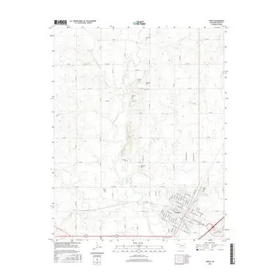
Historical Maps of Vinita Through Time
8 maps found