Old Maps of Drumright, Oklahoma for Academic Research
Study the evolution of Drumright with 28 high-resolution historic maps. Whether you're teaching, researching, or modeling changes in land use, these maps provide essential visual documentation of urban, environmental, and geographic change.
- Analyze long-term change: Track patterns in development, transportation, and natural features.
- Ideal for environmental or urban studies: Support academic projects with primary historical map data.
- Use in the classroom or lab: Educators and researchers rely on these maps to bring historical context to life.
These maps are a powerful tool for teaching, research, and visualizing how Drumright has changed over the decades.
Drumright, OK maps
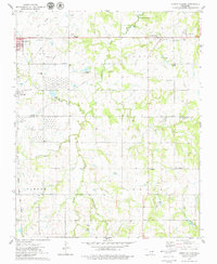
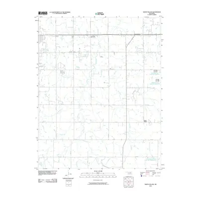
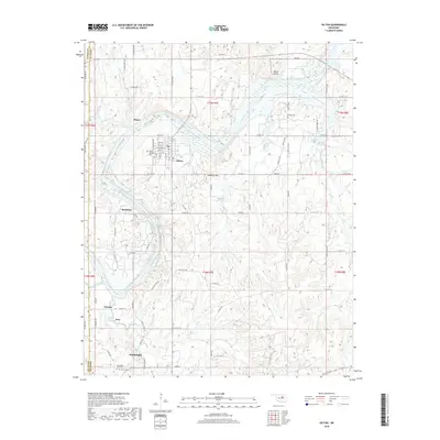
(28)- 1929 Map of Yale, 1959 Print
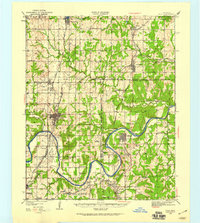 1929 Yale1959 Print · USGSOklahoma's oil and rail heartland comes into focus in the late 1920s as the petroleum industry reshapes the landscape of the former Indian Territory. Researchers can trace the extensive network of rural schools and industrial sites, from 35 Oil Tanks near Oilton to the many country schoolhouses like Lone Elm Sch and Bethel Sch.
 - 1931 Map of Drumright
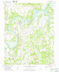
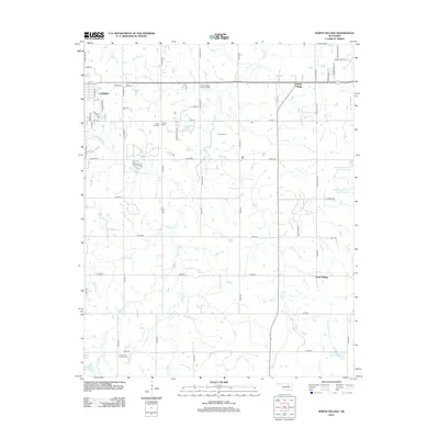
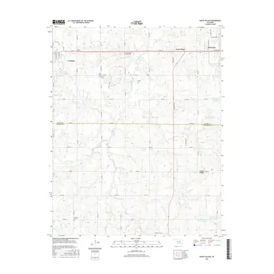
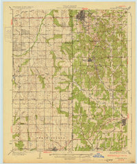 1931 Drumright1931 Print · USGSOklahoma's oil boom era is captured here at its peak, showing the industrial landscape around Drumright and Shamrock. Local historians can trace dozens of rural school sites like Happy Valley Sch and the original path of Highway No 66.4 unique versions available
 - 1932 Map of Yale
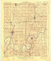 1932 Yale1932 Print · USGSThe oil-rich landscape along the Cimarron River is captured here just after the peak of the regional boom. Researchers can locate early schools and burial sites like Pleasantvale Sch and Greenwood Cem, alongside major petroleum infrastructure like the 35 Oil Tanks near Oilton.3 unique versions available
 - 1954 Map of Oklahoma City
 1954 Oklahoma City1954 Print · USGSOklahoma City and its surrounding counties are captured here in the early fifties during a period of significant postwar growth. Researchers can trace the development of the Turner Turnpike and locate aviation hubs like Tinker Field or Will Rogers Field.
 - 1955 Map of Enid, 1966 Print
 1955 Enid1966 Print · USGSNorth-central Oklahoma's transition from open plains to the blackjack hills of the Osage Indian Reservation is captured in the mid-1950s. Researchers can trace the development of the Naval Reserve Oil Field, the grounds of Vance AFB, and the early footprints of Tulsa and Stillwater.4 unique versions available
 - 1957 Map of Oklahoma City, 1969 Print
 1957 Oklahoma City1969 Print · USGSCentral Oklahoma is captured here in a period of significant mid-century growth and industrialization. Researchers can trace family roots through numerous rural markers like Memory Lane Cem, New Hope School, and the sprawling grounds of Tinker Air Force Base.3 unique versions available
 - 1958 Map of Enid
 1958 Enid1958 Print · USGSNorthern Oklahoma is mapped here in the late fifties, showcasing a dense network of petroleum production and historic tribal lands. Researchers can trace the legacy of the Osage Indian Reservation, early energy hubs like the Cushing Oil Field, and the Chilocco Indian Agricultural School.2 unique versions available
 - 1963 Map of Oklahoma City
 1963 Oklahoma City1963 Print · USGSCentral Oklahoma in the early sixties showcases a landscape of rapid suburban growth and established oil production. Researchers can trace historic rail lines like the Chicago Rock Island and Pacific RR or locate rural landmarks such as Mayflower School and Bethel Church.
 - 1975 Map of Drumright, 1979 Print
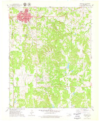 1975 Drumright1979 Print · USGSOklahoma's oil country is captured in the mid-seventies, showing the developed landscapes of the Shannon Oil Field and the grid of Drumright. Genealogists and historians can trace the Indian Territory Oklahoma Boundary and locate the Shamrock Cem or the Old Railroad Grade.
 - 1975 Map of North Village, 1979 Print
 1975 North Village1979 Print · USGSThe Oklahoma oil country east of Cushing comes into focus during the mid-seventies, revealing a landscape of heavy industry and quiet rural settlements. Researchers can trace the legacy of petroleum through several Tank Farms or locate family roots at Silver Star Cem and Harmony Sch.
 - 1978 Map of Oilton, 1979 Print
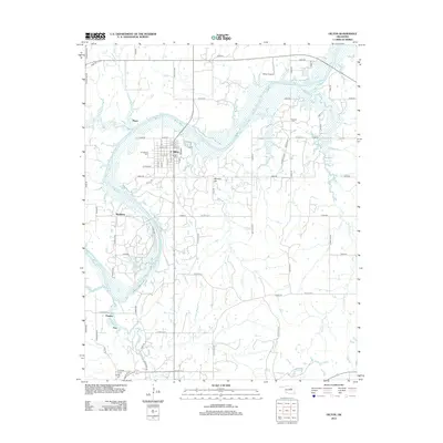
 1978 Oilton1979 Print · USGSOilton and the surrounding oil fields are captured here in the late seventies, showing a landscape defined by petroleum production and river geography. Genealogists and local historians can trace family locations near North Highland Cem, the settlement of Pemeta, or the Old Railroad Grade.
 - 1990 Map of Keystone Lake
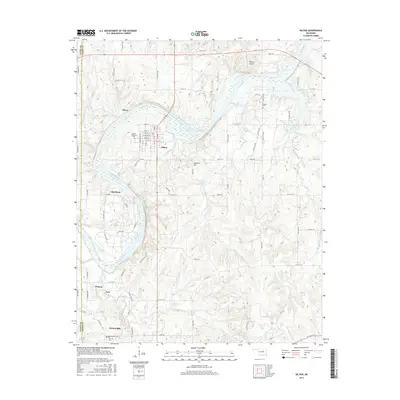
 1990 Keystone Lake1990 Print · USGSNorth-central Oklahoma's landscape is captured here in the 1990s as the vast waters of Keystone Lake meet the Osage Indian Reservation. Researchers can trace old rail corridors like the St Louis-San Francisco Railway and find local landmarks such as Pawnee Bill State Park or the Oil Field at Oilton.
 - 1990 Map of Bristow
 1990 Bristow1990 Print · USGSCentral Oklahoma's township and range grid is on full display in the 1990s, anchored by the crossroads at Bristow and Sapulpa. Researchers can trace old community lines and regional landmarks from Heyburn Reservoir to the historic streets of Boley.
 - 2010 Map of Drumright, 2010 Print
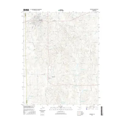
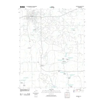 2010 Drumright2010 Print · USGSCovers Drumright, including Shamrock, Payne County, and other nearby areas
 - 2010 Map of Oilton, 2010 Print
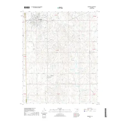
 2010 Oilton2010 Print · USGSCovers Drumright, including Oilton, Markham, and other nearby areas
 - 2010 Map of North Village, 2010 Print
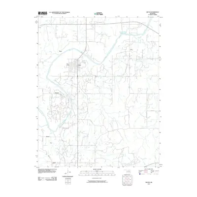
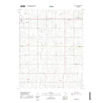
 2010 North Village2010 Print · USGSCovers Drumright, including Cushing, South Village, and other nearby areas
 - 2012 Map of North Village, 2012 Print
 2012 North Village2012 Print · USGSCovers Drumright, including Cushing, South Village, and other nearby areas
 - 2012 Map of Drumright, 2012 Print
 2012 Drumright2012 Print · USGSCovers Drumright, including Shamrock, Payne County, and other nearby areas
 - 2012 Map of Oilton, 2012 Print
 2012 Oilton2012 Print · USGSCovers Drumright, including Oilton, Markham, and other nearby areas
 - 2016 Map of North Village, 2016 Print
 2016 North Village2016 Print · USGSCovers Drumright, including Cushing, South Village, and other nearby areas
 - 2016 Map of Oilton, 2016 Print
 2016 Oilton2016 Print · USGSCovers Drumright, including Oilton, Markham, and other nearby areas
 - 2016 Map of Drumright, 2016 Print
 2016 Drumright2016 Print · USGSCovers Drumright, including Shamrock, Payne County, and other nearby areas
 - 2018 Map of Drumright, 2018 Print
 2018 Drumright2018 Print · USGSCovers Drumright, including Shamrock, Payne County, and other nearby areas
 - 2018 Map of Oilton, 2018 Print
 2018 Oilton2018 Print · USGSCovers Drumright, including Oilton, Markham, and other nearby areas
 - 2018 Map of North Village, 2018 Print
 2018 North Village2018 Print · USGSCovers Drumright, including Cushing, South Village, and other nearby areas
Showing maps 1-25 of 28
Top cities near Drumright
- Cushing historical maps
- Bristow historical maps
- Yale historical maps
- Oilton historical maps
- Depew historical maps
- Jennings historical maps
See more
Frequently asked questions
- What are the different types of historical maps available for Drumright?
- What is the oldest map of Drumright?
- Where can I purchase historical maps of Drumright for my home or office?
- Where can I download high-res historical maps of Drumright?
- Are there historical topographic maps available for Drumright?
- Is there historical aerial imagery available for Drumright?
- Where are historical maps of Drumright sourced from?