Old Maps of Clinton, Oklahoma for Hiking & Exploration
Hike through history with 44 historic maps of Clinton. Explore old trails, ghost towns, and forgotten backroads — perfect for outdoor adventurers and local explorers.
- Rediscover forgotten places: Map out old mining camps, roads, and footpaths that no longer exist on modern maps.
- Layer with modern tools: Combine with LiDAR or satellite views to plan hikes through historical terrain.
- Made for exploration: Popular among hikers, overlanders, and local history lovers.
Use these maps to find adventure and explore the hidden past of Clinton.
Clinton, OK maps
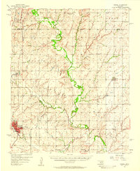
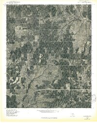
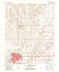
(44)- 1955 Map of Clinton, 1964 Print
 1955 Clinton1964 Print · USGSWestern Oklahoma during the mid-century transition shows a landscape of growing reservoirs and active military flight lines. Genealogists and historians can locate rural landmarks such as Mountain View Church, Berlin School, and the Riverside Indian School Reserve.3 unique versions available
 - 1956 Map of Cordell, 1958 Print
 1956 Cordell1958 Print · USGSWashita County during the mid-fifties reveals a landscape of thriving rail towns and deep-rooted rural congregations. Genealogists can trace family footprints across the St Louis - San Francisco line and through local landmarks like Old Crow Cem or Bessie.2 unique versions available
 - 1957 Map of Clinton
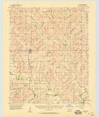
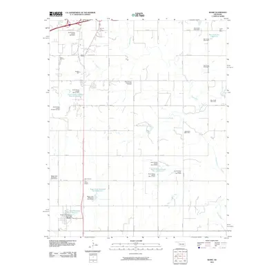
 1957 Clinton1957 Print · USGSWestern Oklahoma in the mid-fifties is captured here as a landscape of river-valley settlements and emerging energy fields. Genealogists can trace family roots through numerous rural landmarks like the Swapping Back Indian School, Hebron Church, and the Riverside Indian School Reserve.
 - 1957 Map of Butler, 1958 Print
 1957 Butler1958 Print · USGSCuster County in the late fifties shows a rural landscape defined by the Washita River and the Santa Fe railroad. Researchers can trace family history through numerous rural landmarks like Prairie View Ch, Anthon Cem, and the village of Stafford.2 unique versions available
 - 1957 Map of Clinton, 1958 Print
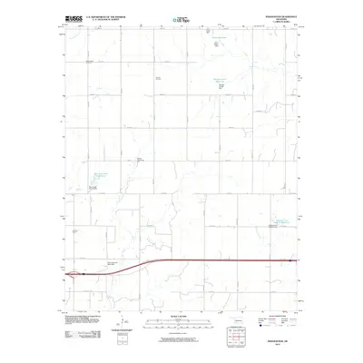
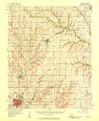 1957 Clinton1958 Print · USGSCuster County was a thriving network of rail-side towns and rural school districts during the mid-fifties. Genealogists can trace family names through the Masonic Cem and Independence Cem, while collectors can map the route of the St Louis and San Francisco railroad.2 unique versions available
 - 1957 Map of Dill City, 1958 Print
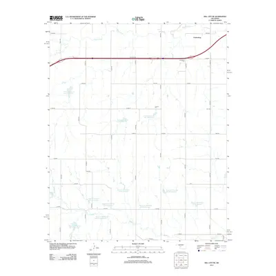
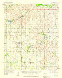 1957 Dill City1958 Print · USGSWestern Oklahoma during the late fifties centers on the expansive Clinton-Sherman Air Force Base and the crossroads of the Santa Fe and Rock Island railroads. Genealogists can trace family names through dozens of rural sites like Kerns Cem, Novis Cem, and the Parkersburg Sch.3 unique versions available
 - 1976 Map of Clinton SE
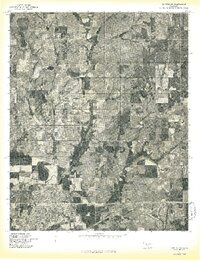
 1976 Clinton SE1976 Print · USGSCuster County agricultural patterns and rural crossroads are captured in this mid-seventies aerial survey. Local historians can trace the course of Bear Creek and the small settlement of Indianapolis through high-resolution photographic detail.
 - 1976 Map of Clinton SW
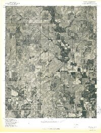
 1976 Clinton SW1976 Print · USGSCuster County comes into sharp focus during the mid-seventies in this detailed aerial study of the Oklahoma prairie. You can trace the winding Washita River and the 1970s boundaries of Clinton and Arapaho during a period of agricultural growth.
 - 1976 Map of Butler SE
 1976 Butler SE1976 Print · USGSCuster County in the mid-seventies is captured in this aerial survey of its farming heartland and river bottoms. Genealogists and local historians can trace the rural landscape around Stafford and Ralph along the Washita River.
 - 1983 Map of Bessie, 1984 Print
 1983 Bessie1984 Print · USGSWashita County and Custer County meet along the river in the early 1980s, where the railroad network serves the local agricultural economy. Researchers can locate family sites at John Old Crow Cem, Peace Ch, and the Oklahoma Veterans Center.
 - 1983 Map of Clinton, 1984 Print
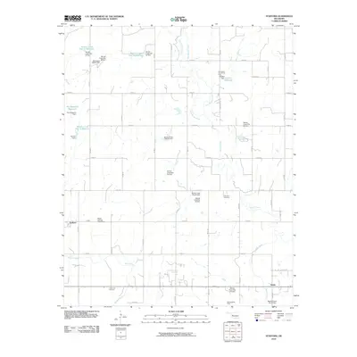
 1983 Clinton1984 Print · USGSCuster County in the early eighties centers on the industrial and rail hubs of the Washita River valley. Genealogists and local historians can trace the foundations of Arapaho and Clinton, locating the Courthouse, Arapaho Cem, and neighborhood schools like Nance Sch.
 - 1983 Map of Indianapolis, 1984 Print
 1983 Indianapolis1984 Print · USGSCuster County, Oklahoma, is captured in the early eighties as a rural landscape of townships and energy exploration. Researchers can trace the Farmrail line or locate family sites at Mt Hope Cem, Summit Cem, and the settlement of Indianapolis.
 - 1983 Map of Stafford, 1984 Print
 1983 Stafford1984 Print · USGSCuster County's rural landscape is captured here in the early eighties, showing a community built on agriculture and energy. Genealogists and historians can locate Stafford, trace family plots at Valley View Cem, and find landmarks like Sunnyside Community Hall.
 - 1983 Map of Dill City NE, 1984 Print
 1983 Dill City NE1984 Print · USGSWashita County and the plains around Clinton come into focus during the early eighties, showing a landscape defined by its rail lines and river valleys. Genealogists and local historians can trace the rural communities of Alfalfa and Parkersburg alongside the Lutheran Cem and Werning Cem.
 - 1984 Map of Foss Reservoir
 1984 Foss Reservoir1984 Print · USGSWestern Oklahoma’s river valleys and prairie grasslands are captured here in the mid-eighties, a period of established reservoirs and active energy production. Researchers can trace rural lineages through local hubs like Cheyenne and Hammon or locate landmarks such as the Antelope Hills and Foss Reservoir.
 - 1985 Map of Elk City
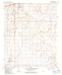
 1985 Elk City1985 Print · USGSWestern Oklahoma in the 1980s is defined by its railroad junctions, emerging aviation hubs, and the winding North Fork Red River. Genealogists and local historians can trace the foundations of Sayre and Elk City, alongside landmarks like Clinton-Sherman Airport and Quartz Mountain State Park.2 unique versions available
 - 1985 Map of Watonga
 1985 Watonga1985 Print · USGSCentral Oklahoma in the mid-eighties shows a robust network of river-valley settlements and rural rail lines. Genealogists and historians can trace the footprint of Southwestern State College, the historic Fort Reno, and family-named landmarks like Dead Women Crossing.2 unique versions available
 - 1986 Map of Anadarko
 1986 Anadarko1986 Print · USGSThe Oklahoma plains around Anadarko are captured in the mid-1980s, showing the intersection of rail history and tribal heritage. Genealogists and historians can trace the Indian Treaty Boundary or locate old rail stops along the Burlington Northern Railroad and Atchison, Topeka and Santa Fe Railway.2 unique versions available
 - 1990 Map of Foss Reservoir, 1991 Print
 1990 Foss Reservoir1991 Print · USGSWestern Oklahoma’s prairie and river systems are shown here as they appeared in the 1990s, dominated by conservation lands and water management. Researchers can trace the rail paths of the Atchison Topeka and Santa Fe and locate old rural centers like Strong City and Hammon.
 - 2010 Map of Indianapolis, 2010 Print
 2010 Indianapolis2010 Print · USGSCovers Clinton, including Indianapolis, Custer County, and other nearby areas
 - 2010 Map of Stafford, 2010 Print
 2010 Stafford2010 Print · USGSCovers Clinton, including Stafford, Ralph, and other nearby areas
 - 2010 Map of Clinton, 2010 Print
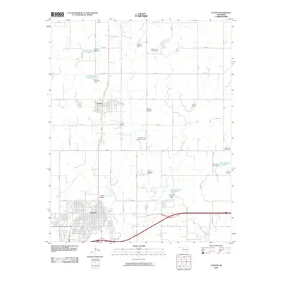 2010 Clinton2010 Print · USGSCovers Clinton, including Arapaho, East Junction, and other nearby areas
 - 2010 Map of Bessie, 2010 Print
 2010 Bessie2010 Print · USGSCovers Clinton, including Bessie, Custer County, and other nearby areas
 - 2010 Map of Dill City NE, 2010 Print
 2010 Dill City NE2010 Print · USGSCovers Clinton, including Braithwaite, Parkersburg, and other nearby areas
 - 2012 Map of Dill City NE, 2012 Print
 2012 Dill City NE2012 Print · USGSCovers Clinton, including Braithwaite, Parkersburg, and other nearby areas
Showing maps 1-25 of 44
Top cities near Clinton
- New Cordell historical maps
- Burns Flat historical maps
- Arapaho historical maps
- Corn historical maps
- Dill City historical maps
- Custer City historical maps
See more
Top neighborhoods of Clinton
Frequently asked questions
- What are the different types of historical maps available for Clinton?
- What is the oldest map of Clinton?
- Where can I purchase historical maps of Clinton for my home or office?
- Where can I download high-res historical maps of Clinton?
- Are there historical topographic maps available for Clinton?
- Is there historical aerial imagery available for Clinton?
- Where are historical maps of Clinton sourced from?