Old Maps of West Siloam Springs, Oklahoma for Academic Research
Study the evolution of West Siloam Springs with 19 high-resolution historic maps. Whether you're teaching, researching, or modeling changes in land use, these maps provide essential visual documentation of urban, environmental, and geographic change.
- Analyze long-term change: Track patterns in development, transportation, and natural features.
- Ideal for environmental or urban studies: Support academic projects with primary historical map data.
- Use in the classroom or lab: Educators and researchers rely on these maps to bring historical context to life.
These maps are a powerful tool for teaching, research, and visualizing how West Siloam Springs has changed over the decades.
West Siloam Springs, OK maps
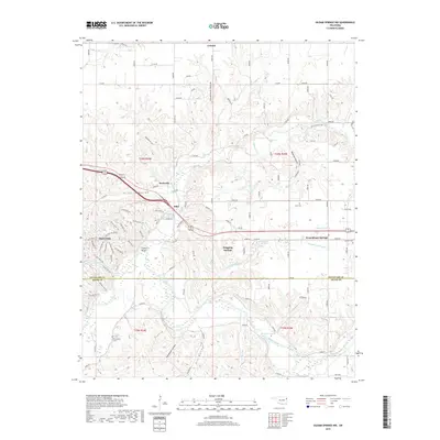
(19)- 1899 Map of Siloam Springs, 1954 Print
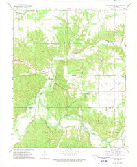
 1899 Siloam Springs1954 Print · USGSThe borderlands of the Cherokee Nation and Northwest Arkansas come alive in this late nineteenth-century survey. Genealogists can trace early homesteads and community life through Shoaps Store, Round Spring Church, and the settlement of Maysville.
 - 1903 Map of Siloam Springs, 1904 Print
 1903 Siloam Springs1904 Print · USGSThe border of Arkansas and the Cherokee Nation comes to life in this survey from the turn of the century. Genealogists and historians can trace the early layout of Siloam Springs or locate small landmarks like Shoaps Store and Round Spring Church.
 - 1904 Map of Siloam Springs
 1904 Siloam Springs1904 Print · USGSThe Arkansas and Indian Territory borderlands are captured here at the turn of the century, prior to Oklahoma statehood. Researchers can trace the early layout of Siloam Springs and locate vanished landmarks like Shoaps Store or the Round Spring Church.7 unique versions available
 - 1954 Map of Tulsa
 1954 Tulsa1954 Print · USGSNortheast Oklahoma and the Ozark border are shown here during a period of massive industrial and infrastructure growth. Researchers can trace the legacy of the Tri-State Mining District and the development of major reservoirs like Grand Lake O' The Cherokees.2 unique versions available
 - 1958 Map of Tulsa, 1968 Print
 1958 Tulsa1968 Print · USGSNortheast Oklahoma and the Ozark borderlands are captured here during a massive era of reservoir construction and highway expansion. Researchers can trace the mid-century footprints of Tulsa, the sprawling Lake O' the Cherokees, and historical sites like Pea Ridge National Military Park.3 unique versions available
 - 1963 Map of Tulsa
 1963 Tulsa1963 Print · USGSThe Oklahoma and Arkansas borderlands are shown here in the early sixties, a time of massive reservoir construction and heavy mining. Genealogists can trace family roots through settlements like Nowata, Pryor, and Jay, or locate historical zinc and lead mines and coal mines.
 - 1972 Map of Siloam Springs NW, 1974 Print
 1972 Siloam Springs NW1974 Print · USGSThe Illinois River valley on the Delaware-Adair county line is shown here in the early 1970s. Researchers can trace rural landmarks like Crittenden Cem, the community of Flint, and the Moseley Sch across the prairie.2 unique versions available
 - 1972 Map of Siloam Springs, 1974 Print
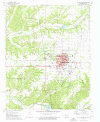 1972 Siloam Springs1974 Print · USGSSiloam Springs and its rural neighbors are caught in a period of steady growth during the early seventies along the state line. Genealogists and historians can trace family plots at Oak Hill Cemetery or Bell Cem, and locate the historic campus of John Brown University.2 unique versions available
 - 1979 Map of Fayetteville, 1980 Print
 1979 Fayetteville1980 Print · USGSNorthwest Arkansas and the tristate corner show a booming corridor of rail-linked towns and highland forests in the late seventies. Researchers can trace historic landmarks like Pea Ridge National Military Park, the Frisco RR, and the University of Arkansas.2 unique versions available
 - 2010 Map of Siloam Springs NW, 2010 Print
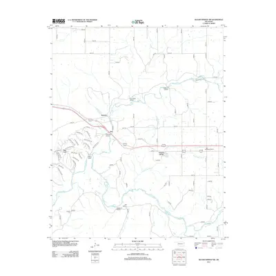
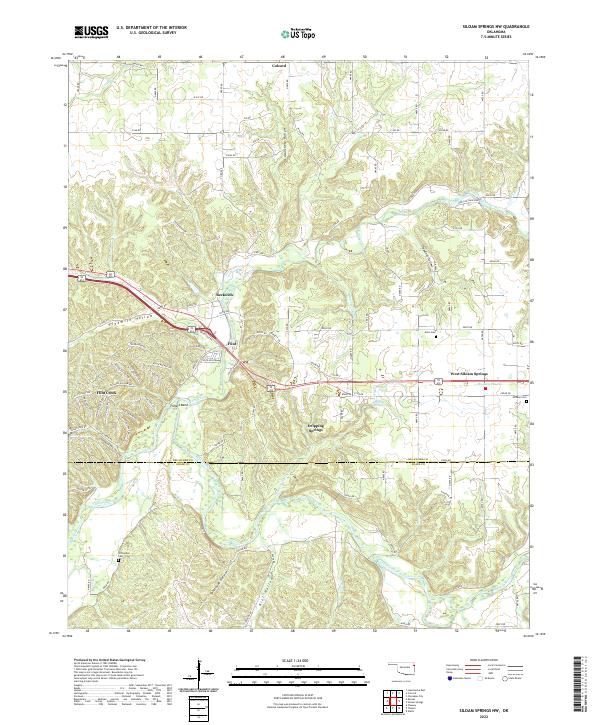
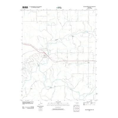 2010 Siloam Springs NW2010 Print · USGSCovers West Siloam Springs, including Colcord, Flint, and other nearby areas
 - 2011 Map of Siloam Springs, 2011 Print
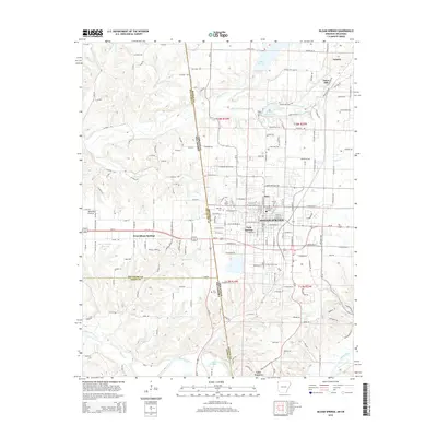
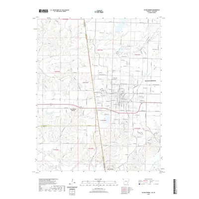
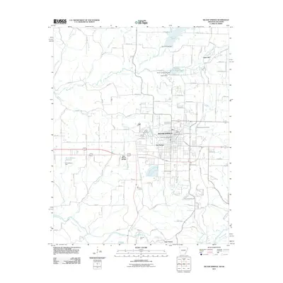 2011 Siloam Springs2011 Print · USGSCovers West Siloam Springs, including Siloam Springs, Gentry, and other nearby areas
 - 2012 Map of Siloam Springs NW, 2012 Print
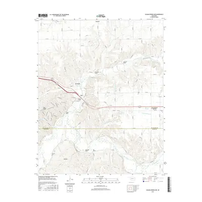
 2012 Siloam Springs NW2012 Print · USGSCovers West Siloam Springs, including Colcord, Flint, and other nearby areas
 - 2014 Map of Siloam Springs, 2014 Print
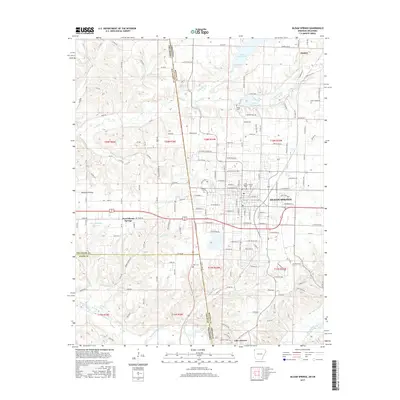
 2014 Siloam Springs2014 Print · USGSCovers West Siloam Springs, including Siloam Springs, Gentry, and other nearby areas
 - 2016 Map of Siloam Springs NW, 2016 Print
 2016 Siloam Springs NW2016 Print · USGSCovers West Siloam Springs, including Colcord, Flint, and other nearby areas
 - 2017 Map of Siloam Springs, 2017 Print
 2017 Siloam Springs2017 Print · USGSCovers West Siloam Springs, including Siloam Springs, Gentry, and other nearby areas
 - 2019 Map of Siloam Springs NW, 2019 Print
 2019 Siloam Springs NW2019 Print · USGSCovers West Siloam Springs, including Colcord, Flint, and other nearby areas
 - 2020 Map of Siloam Springs, 2020 Print
 2020 Siloam Springs2020 Print · USGSCovers West Siloam Springs, including Siloam Springs, Gentry, and other nearby areas
 - 2022 Map of Siloam Springs NW, 2022 Print
 2022 Siloam Springs NW2022 Print · USGSOklahoma's Ozark foothills and the Illinois River valley are captured in this recent survey of Delaware and Adair counties. Genealogists and local historians can trace family locations near Crittenden Cem, the settlement at Flint, and along the banks of Flint Creek.
 - 2024 Map of Siloam Springs, 2024 Print
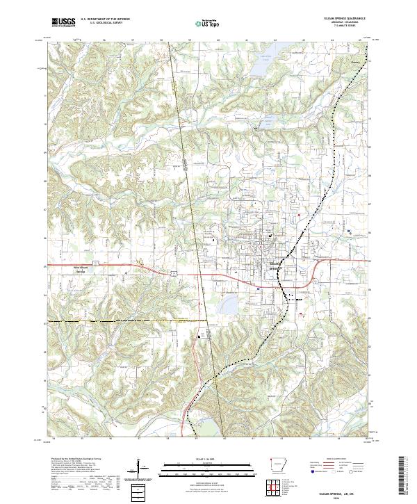 2024 Siloam Springs2024 Print · USGSThe Arkansas-Oklahoma borderlands appear here in modern detail, centered on the historic crossroads of Siloam Springs and Gentry. Local historians can trace the grounds of John Brown University and find family-named sites like Blagg Cem and Gunter Cem.
End of results
Showing maps 1-19 of 19
Top cities near West Siloam Springs
- Siloam Springs historical maps
- Gravette historical maps
- Gentry historical maps
- Lincoln historical maps
- Westville historical maps
- Decatur historical maps
See more
Frequently asked questions
- What are the different types of historical maps available for West Siloam Springs?
- What is the oldest map of West Siloam Springs?
- Where can I purchase historical maps of West Siloam Springs for my home or office?
- Where can I download high-res historical maps of West Siloam Springs?
- Are there historical topographic maps available for West Siloam Springs?
- Is there historical aerial imagery available for West Siloam Springs?
- Where are historical maps of West Siloam Springs sourced from?