Old Maps of Fargo, Oklahoma for Hiking & Exploration
Hike through history with 27 historic maps of Fargo. Explore old trails, ghost towns, and forgotten backroads — perfect for outdoor adventurers and local explorers.
- Rediscover forgotten places: Map out old mining camps, roads, and footpaths that no longer exist on modern maps.
- Layer with modern tools: Combine with LiDAR or satellite views to plan hikes through historical terrain.
- Made for exploration: Popular among hikers, overlanders, and local history lovers.
Use these maps to find adventure and explore the hidden past of Fargo.
Fargo, OK maps
(27)- 1955 Map of Woodward, 1967 Print
 1955 Woodward1967 Print · USGSNorthwest Oklahoma and the bordering plains are captured during the mid-sixties, showing a landscape defined by river valleys and massive water projects. Researchers can trace family roots in towns like Woodward and Alva or locate landmarks such as the Western Oklahoma State Hospital and Kegelman AF.3 unique versions available
 - 1958 Map of Woodward
 1958 Woodward1958 Print · USGSNorthwest Oklahoma and the neighboring panhandle borders are shown here during a period of steady mid-century growth. Researchers can trace the rail networks of the Atchison Topeka and Santa Fe and locate landmarks like the Western Oklahoma State Hospital and Port Supply Reservoir.2 unique versions available
 - 1969 Map of Fargo SW, 1970 Print
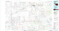
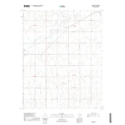
 1969 Fargo SW1970 Print · USGSEllis County's plains are captured here in the late sixties, showing a landscape defined by the arrival of the energy industry. Researchers can trace the Atchison Topeka and Santa Fe rail line past The Artesian Beach Park or locate family roots near Woodrow and the local Cem.
 - 1969 Map of Fargo, 1971 Print
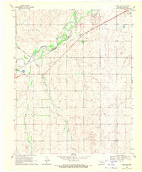
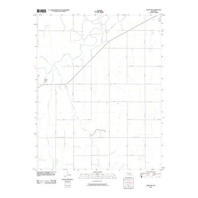
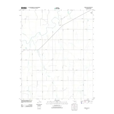
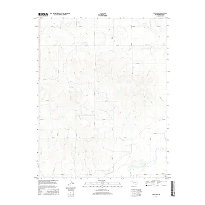
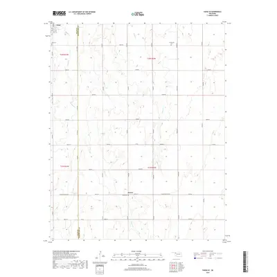
 1969 Fargo1971 Print · USGSWestern Oklahoma’s prairie landscape is captured here in the late sixties, centered on the Atchison Topeka and Santa Fe rail line. Genealogists and researchers can trace the early layouts of Fargo and Tangier, as well as landmarks like Rest Haven Cem and Braunch Memorial Park.
 - 1969 Map of Fargo NW, 1971 Print
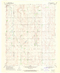
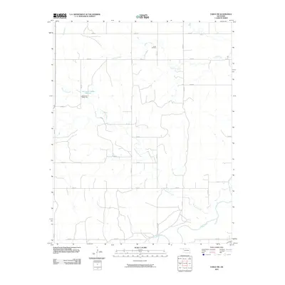
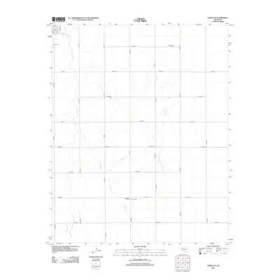
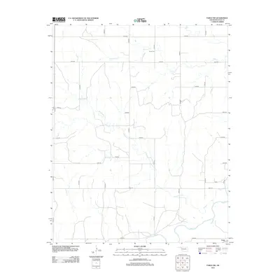
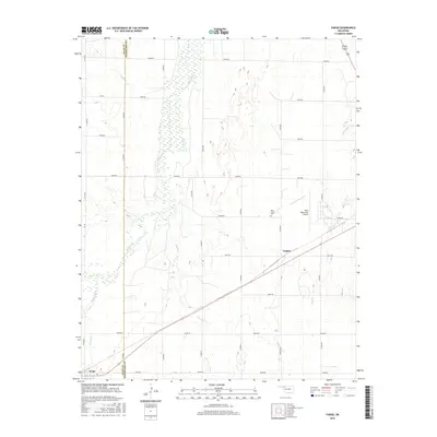
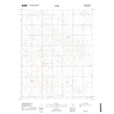
 1969 Fargo NW1971 Print · USGSWestern Oklahoma cattle and gas country comes into focus in the late sixties, centered on the drainage of Wolf Creek. Genealogists and researchers can locate Greenwood Ch, Sunset Cem, and the outskirts of Fargo amidst a network of Caliche Pits and section lines.
 - 1969 Map of Fargo SE, 1971 Print
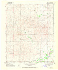
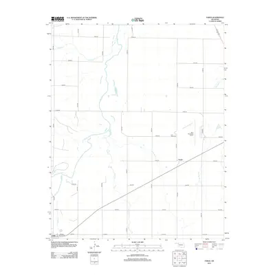
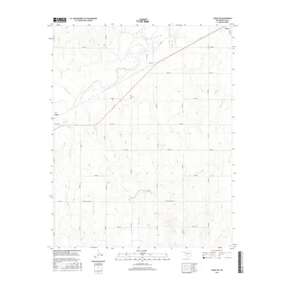
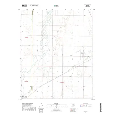
 1969 Fargo SE1971 Print · USGSThe border of Ellis and Woodward counties was a landscape of remote farmsteads and growing energy sites in the late sixties. Researchers can locate the early footprints of Fargo and Keenan, or trace rural family roots at Fargo Cem and Gnadenfield Cem.
 - 1985 Map of Woodward
 1985 Woodward1985 Print · USGSNorthwest Oklahoma during the mid-eighties shows a landscape defined by cattle country, energy production, and historic rail towns. Researchers can trace the Old Indian Treaty Boundary and find local landmarks like Crystal Beach Lake and Boiling Springs State Park.2 unique versions available
 - 2010 Map of Fargo SE, 2010 Print
 2010 Fargo SE2010 Print · USGSCovers Fargo, including Keenan, Woodward County, and other nearby areas
 - 2010 Map of Fargo NW, 2010 Print
 2010 Fargo NW2010 Print · USGSCovers Fargo, including Ellis County, United States, and other nearby areas
 - 2010 Map of Fargo, 2010 Print
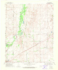
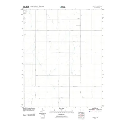
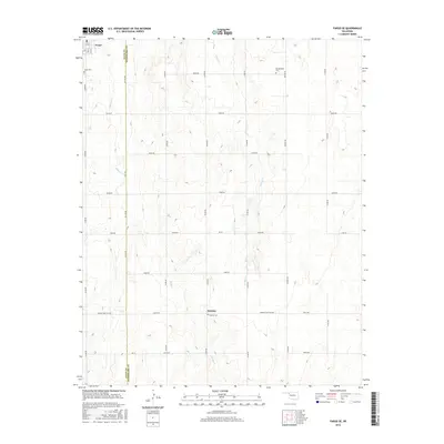
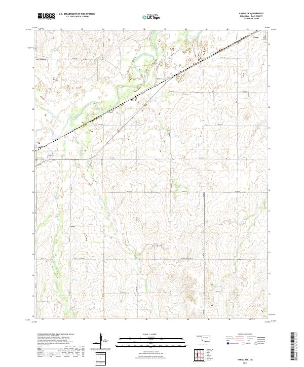
 2010 Fargo2010 Print · USGSCovers Fargo, including Tangier, Woodward County, and other nearby areas
 - 2010 Map of Fargo SW, 2010 Print
 2010 Fargo SW2010 Print · USGSCovers Fargo, including Gage, Ellis County, and other nearby areas
 - 2012 Map of Fargo SE, 2012 Print
 2012 Fargo SE2012 Print · USGSCovers Fargo, including Keenan, Woodward County, and other nearby areas
 - 2012 Map of Fargo NW, 2012 Print
 2012 Fargo NW2012 Print · USGSCovers Fargo, including Ellis County, United States, and other nearby areas
 - 2012 Map of Fargo, 2012 Print
 2012 Fargo2012 Print · USGSCovers Fargo, including Tangier, Woodward County, and other nearby areas
 - 2012 Map of Fargo SW, 2012 Print
 2012 Fargo SW2012 Print · USGSCovers Fargo, including Gage, Ellis County, and other nearby areas
 - 2016 Map of Fargo, 2016 Print
 2016 Fargo2016 Print · USGSCovers Fargo, including Tangier, Woodward County, and other nearby areas
 - 2016 Map of Fargo SW, 2016 Print
 2016 Fargo SW2016 Print · USGSCovers Fargo, including Gage, Ellis County, and other nearby areas
 - 2016 Map of Fargo SE, 2016 Print
 2016 Fargo SE2016 Print · USGSCovers Fargo, including Keenan, Woodward County, and other nearby areas
 - 2016 Map of Fargo NW, 2016 Print
 2016 Fargo NW2016 Print · USGSCovers Fargo, including Ellis County, United States, and other nearby areas
 - 2018 Map of Fargo NW, 2018 Print
 2018 Fargo NW2018 Print · USGSCovers Fargo, including Ellis County, United States, and other nearby areas
 - 2018 Map of Fargo SW, 2018 Print
 2018 Fargo SW2018 Print · USGSCovers Fargo, including Gage, Ellis County, and other nearby areas
 - 2018 Map of Fargo, 2018 Print
 2018 Fargo2018 Print · USGSCovers Fargo, including Tangier, Woodward County, and other nearby areas
 - 2018 Map of Fargo SE, 2018 Print
 2018 Fargo SE2018 Print · USGSCovers Fargo, including Keenan, Woodward County, and other nearby areas
 - 2022 Map of Fargo SW, 2022 Print
 2022 Fargo SW2022 Print · USGSNorthwestern Oklahoma’s prairie landscape is documented here in the early twenty-first century, centered on the rural spaces between two Ellis County towns. Genealogists and land researchers can trace property boundaries and local drainages like Buzzard Cr and Little Wolf Cr near the settlements of Fargo and Gage.
 - 2022 Map of Fargo, 2022 Print
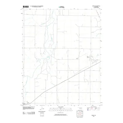
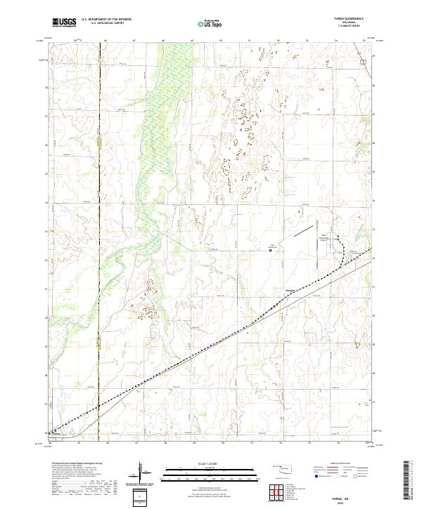 2022 Fargo2022 Print · USGSNorthwest Oklahoma's prairie landscape comes into focus in this recent survey of the Ellis and Woodward county line. Researchers can trace rural lineages at Rest Haven Cemetery and locate the communities of Fargo and Tangier.
Showing maps 1-25 of 27
Top cities near Fargo
Frequently asked questions
- What are the different types of historical maps available for Fargo?
- What is the oldest map of Fargo?
- Where can I purchase historical maps of Fargo for my home or office?
- Where can I download high-res historical maps of Fargo?
- Are there historical topographic maps available for Fargo?
- Is there historical aerial imagery available for Fargo?
- Where are historical maps of Fargo sourced from?