Old Maps of Fargo, Oklahoma for Academic Research
Study the evolution of Fargo with 27 high-resolution historic maps. Whether you're teaching, researching, or modeling changes in land use, these maps provide essential visual documentation of urban, environmental, and geographic change.
- Analyze long-term change: Track patterns in development, transportation, and natural features.
- Ideal for environmental or urban studies: Support academic projects with primary historical map data.
- Use in the classroom or lab: Educators and researchers rely on these maps to bring historical context to life.
These maps are a powerful tool for teaching, research, and visualizing how Fargo has changed over the decades.
Fargo, OK maps
(27)- 1955 Map of Woodward, 1967 Print
 1955 Woodward1967 Print · USGSNorthwest Oklahoma and the bordering plains are captured during the mid-sixties, showing a landscape defined by river valleys and massive water projects. Researchers can trace family roots in towns like Woodward and Alva or locate landmarks such as the Western Oklahoma State Hospital and Kegelman AF.3 unique versions available
 - 1958 Map of Woodward
 1958 Woodward1958 Print · USGSNorthwest Oklahoma and the neighboring panhandle borders are shown here during a period of steady mid-century growth. Researchers can trace the rail networks of the Atchison Topeka and Santa Fe and locate landmarks like the Western Oklahoma State Hospital and Port Supply Reservoir.2 unique versions available
 - 1969 Map of Fargo SW, 1970 Print
 1969 Fargo SW1970 Print · USGSEllis County's plains are captured here in the late sixties, showing a landscape defined by the arrival of the energy industry. Researchers can trace the Atchison Topeka and Santa Fe rail line past The Artesian Beach Park or locate family roots near Woodrow and the local Cem.
 - 1969 Map of Fargo, 1971 Print
 1969 Fargo1971 Print · USGSWestern Oklahoma’s prairie landscape is captured here in the late sixties, centered on the Atchison Topeka and Santa Fe rail line. Genealogists and researchers can trace the early layouts of Fargo and Tangier, as well as landmarks like Rest Haven Cem and Braunch Memorial Park.
 - 1969 Map of Fargo NW, 1971 Print
 1969 Fargo NW1971 Print · USGSWestern Oklahoma cattle and gas country comes into focus in the late sixties, centered on the drainage of Wolf Creek. Genealogists and researchers can locate Greenwood Ch, Sunset Cem, and the outskirts of Fargo amidst a network of Caliche Pits and section lines.
 - 1969 Map of Fargo SE, 1971 Print
 1969 Fargo SE1971 Print · USGSThe border of Ellis and Woodward counties was a landscape of remote farmsteads and growing energy sites in the late sixties. Researchers can locate the early footprints of Fargo and Keenan, or trace rural family roots at Fargo Cem and Gnadenfield Cem.
 - 1985 Map of Woodward
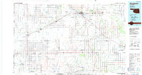 1985 Woodward1985 Print · USGSNorthwest Oklahoma during the mid-eighties shows a landscape defined by cattle country, energy production, and historic rail towns. Researchers can trace the Old Indian Treaty Boundary and find local landmarks like Crystal Beach Lake and Boiling Springs State Park.2 unique versions available
 - 2010 Map of Fargo SE, 2010 Print
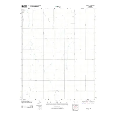 2010 Fargo SE2010 Print · USGSEllis County at the turn of the millennium remains a landscape of structured section roads and quiet creek drainages. Genealogists and local historians can locate burial sites at Fargo Cemetery and Gnadenfield Cemetery or trace the winding paths of Boggy Creek.
 - 2010 Map of Fargo NW, 2010 Print
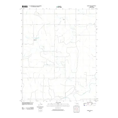 2010 Fargo NW2010 Print · USGSWestern Oklahoma's rural landscape is captured here in the years following the millennium, showing a well-established grid of section roads and drainage basins. Researchers can trace the path of Sixteenmile Creek or locate local landmarks like Sunset Cemetery and the Oknoname 045001 Reservoir.
 - 2010 Map of Fargo, 2010 Print
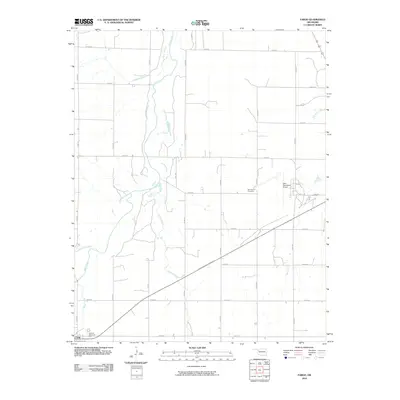 2010 Fargo2010 Print · USGSThe rural plains of Ellis County are captured here in the early twenty-first century, centered on the intersection of town life and cattle country. Researchers can trace the layout of Fargo near Braunch Memorial Park or locate burials at Rest Haven Cemetery.
 - 2010 Map of Fargo SW, 2010 Print
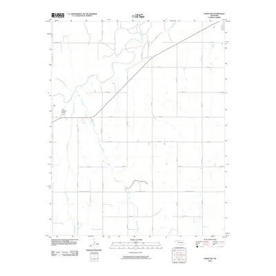 2010 Fargo SW2010 Print · USGSEllis County in the early 2000s shows a landscape of expansive ranching and agriculture defined by the gridded plains. Trace the watercourses of Wolf Creek and Buzzard Creek, or locate the specific site of The Artesian Beach near the section lines.
 - 2012 Map of Fargo SE, 2012 Print
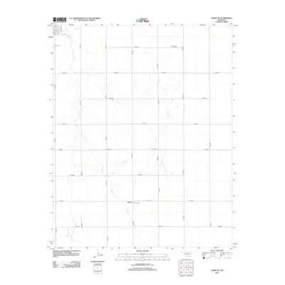 2012 Fargo SE2012 Print · USGSThe rural plains of Ellis County are captured here in the early twenty-first century, showing the intersection of local history and agricultural life. Researchers can find several burial sites including Gnadenfield Cem and Keenan Cem, while tracing the meandering path of Boggy Cr.
 - 2012 Map of Fargo NW, 2012 Print
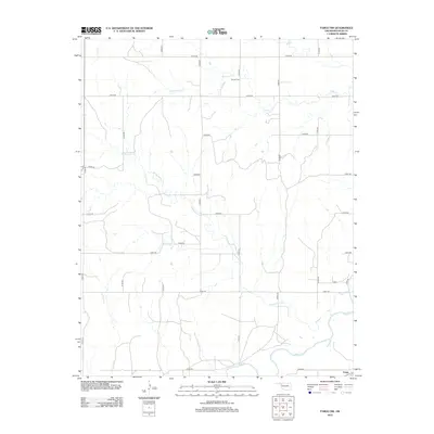 2012 Fargo NW2012 Print · USGSWestern Oklahoma ranching and creek systems define this Ellis County landscape in the early twenty-first century. Genealogists and local historians can trace the grid of country roads near Fargo or locate the rural Sunset Cemetery near the banks of Eightmile Creek.
 - 2012 Map of Fargo, 2012 Print
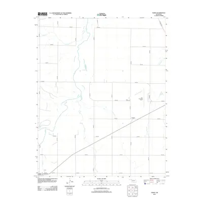 2012 Fargo2012 Print · USGSFargo and the surrounding Ellis County plains are captured in this early twenty-first-century survey. Researchers can trace the section lines and local landmarks like Rest Haven Cem, Braunch Memorial Park, and the West Woodward Airport.
 - 2012 Map of Fargo SW, 2012 Print
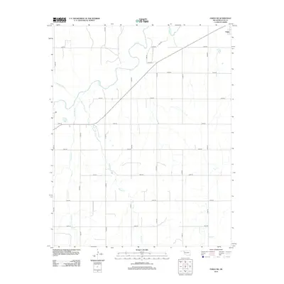 2012 Fargo SW2012 Print · USGSWestern Oklahoma’s agricultural and ranching landscape is captured here in the early twenty-first century as it surrounds the outskirts of Fargo. Local historians and researchers can trace the winding paths of Wolf Cr and Buzzard Cr across an extensive grid of section-line roads.
 - 2016 Map of Fargo, 2016 Print
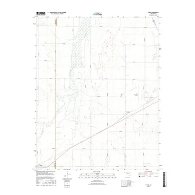 2016 Fargo2016 Print · USGSFargo and the surrounding Ellis County plains are captured here in the mid-2010s, showing the intersection of rural life and aviation infrastructure. Researchers can trace the rail corridor through Tangier or locate family sites at the Rest Haven Cem near Wolf Creek.
 - 2016 Map of Fargo SW, 2016 Print
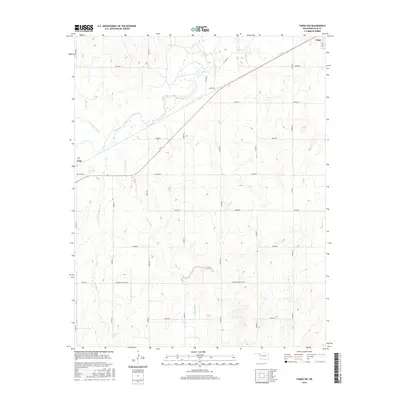 2016 Fargo SW2016 Print · USGSEllis County land and water are captured in the mid-2010s as the grid of section-line roads meets the winding banks of Wolf Cr. Genealogists and local researchers can trace the landscape between Gage and Fargo, following routes like Sharon-Shattuck Rd across Buzzard Cr.
 - 2016 Map of Fargo SE, 2016 Print
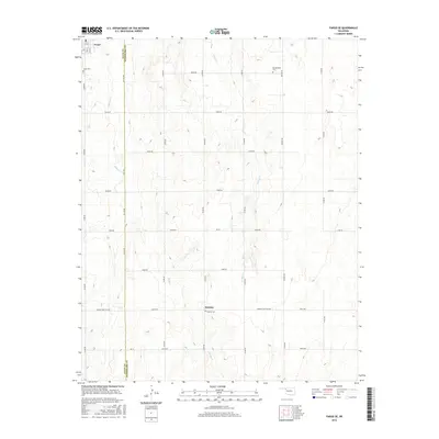 2016 Fargo SE2016 Print · USGSIn Northwest Oklahoma during the mid-2010s, this landscape shows the quiet rural divide of the Ellis and Woodward County line. Researchers can locate the Fargo Cemetery, Gnadenfield Cemetery, and the small settlement of Keenan.
 - 2016 Map of Fargo NW, 2016 Print
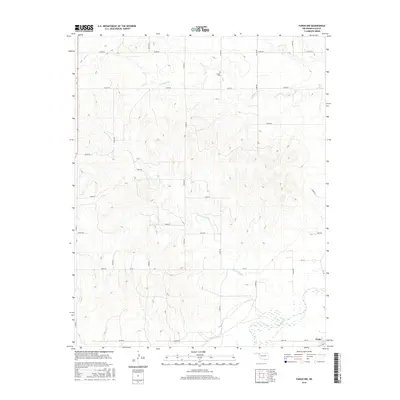 2016 Fargo NW2016 Print · USGSNorthwest of the town of Fargo, this Oklahoma landscape shows the rural layout of Ellis County as it appeared in 2016. Genealogists and local historians can trace family land via the section-line road grid and locate landmarks like the Sunset Cem and the banks of Wolf Creek.
 - 2018 Map of Fargo NW, 2018 Print
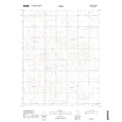 2018 Fargo NW2018 Print · USGSThe rural outskirts of Fargo in Ellis County appear here in the late twenty-teens, showing a landscape shaped by creek drainages and a precise road grid. Researchers can locate Sunset Cem or trace the paths of Wolf Creek and Sixteenmile Cr.
 - 2018 Map of Fargo SW, 2018 Print
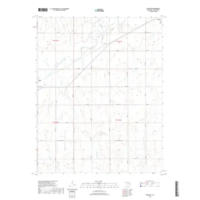 2018 Fargo SW2018 Print · USGSWestern Oklahoma rangeland near the Panhandle border is documented here in the late twenty-tens, showing a landscape shaped by creek drainage and rural section lines. Genealogists and land researchers can trace property boundaries between Gage and Fargo while locating landmarks like Wolf Cr and Sharon-Shattuck Rd.
 - 2018 Map of Fargo, 2018 Print
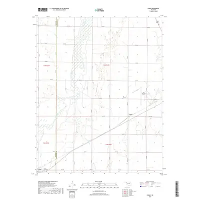 2018 Fargo2018 Print · USGSThe high plains of western Oklahoma are captured here in the late 2010s, showing the agricultural landscape surrounding Fargo and Tangier. Researchers can trace the path of Wolf Creek or locate local landmarks like Rest Haven Cem and Braunch Memorial Park.
 - 2018 Map of Fargo SE, 2018 Print
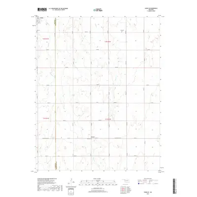 2018 Fargo SE2018 Print · USGSNorthwestern Oklahoma’s rural landscape is captured here in the late 2010s at the junction of Ellis and Woodward counties. Genealogists and local historians can locate three distinct burial grounds, including Gnadenfield Cemetery and Keenan Cemetery, alongside the small settlements of Fargo and Keenan.
 - 2022 Map of Fargo SW, 2022 Print
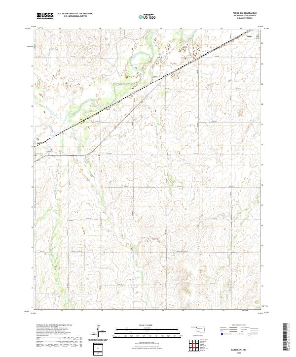 2022 Fargo SW2022 Print · USGSNorthwestern Oklahoma’s prairie landscape is documented here in the early twenty-first century, centered on the rural spaces between two Ellis County towns. Genealogists and land researchers can trace property boundaries and local drainages like Buzzard Cr and Little Wolf Cr near the settlements of Fargo and Gage.
 - 2022 Map of Fargo, 2022 Print
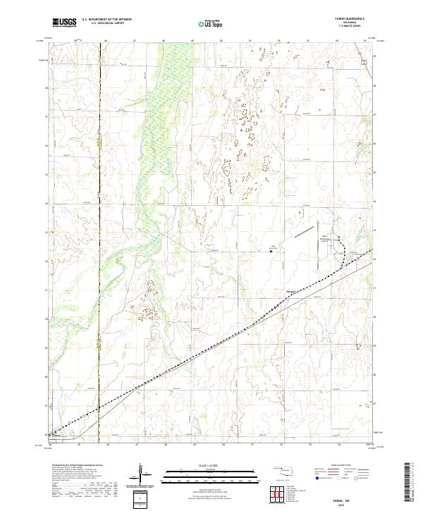 2022 Fargo2022 Print · USGSNorthwest Oklahoma's prairie landscape comes into focus in this recent survey of the Ellis and Woodward county line. Researchers can trace rural lineages at Rest Haven Cemetery and locate the communities of Fargo and Tangier.
Showing maps 1-25 of 27
Top cities near Fargo
Frequently asked questions
- What are the different types of historical maps available for Fargo?
- What is the oldest map of Fargo?
- Where can I purchase historical maps of Fargo for my home or office?
- Where can I download high-res historical maps of Fargo?
- Are there historical topographic maps available for Fargo?
- Is there historical aerial imagery available for Fargo?
- Where are historical maps of Fargo sourced from?