Old Maps of Goodwin, Oklahoma for Academic Research
Study the evolution of Goodwin with 9 high-resolution historic maps. Whether you're teaching, researching, or modeling changes in land use, these maps provide essential visual documentation of urban, environmental, and geographic change.
- Analyze long-term change: Track patterns in development, transportation, and natural features.
- Ideal for environmental or urban studies: Support academic projects with primary historical map data.
- Use in the classroom or lab: Educators and researchers rely on these maps to bring historical context to life.
These maps are a powerful tool for teaching, research, and visualizing how Goodwin has changed over the decades.
Goodwin, OK maps
(9)- 1955 Map of Woodward, 1967 Print
 1955 Woodward1967 Print · USGSNorthwest Oklahoma and the bordering plains are captured during the mid-sixties, showing a landscape defined by river valleys and massive water projects. Researchers can trace family roots in towns like Woodward and Alva or locate landmarks such as the Western Oklahoma State Hospital and Kegelman AF.3 unique versions available
 - 1958 Map of Woodward
 1958 Woodward1958 Print · USGSNorthwest Oklahoma and the neighboring panhandle borders are shown here during a period of steady mid-century growth. Researchers can trace the rail networks of the Atchison Topeka and Santa Fe and locate landmarks like the Western Oklahoma State Hospital and Port Supply Reservoir.2 unique versions available
 - 1970 Map of Goodwin, 1972 Print
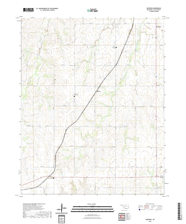
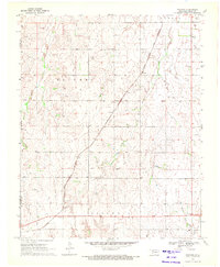 1970 Goodwin1972 Print · USGSThe Oklahoma Panhandle borderlands are captured here in the early seventies as the cattle and rail economy shaped Ellis County. Genealogists and historians can trace the Atchison Topeka and Santa Fe rail line past Goodwin and the Old Indian Treaty Boundary.
 - 1985 Map of Woodward
 1985 Woodward1985 Print · USGSNorthwest Oklahoma during the mid-eighties shows a landscape defined by cattle country, energy production, and historic rail towns. Researchers can trace the Old Indian Treaty Boundary and find local landmarks like Crystal Beach Lake and Boiling Springs State Park.2 unique versions available
 - 2010 Map of Goodwin, 2010 Print
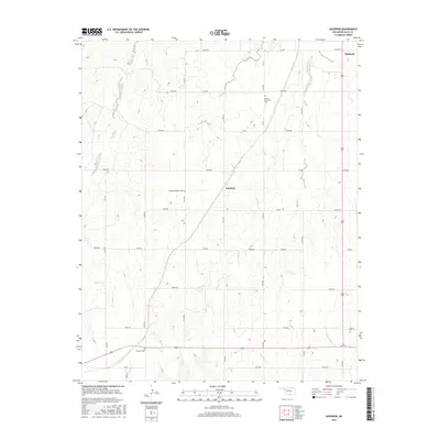
 2010 Goodwin2010 Print · USGSCovers Goodwin, including Ellis County, United States, and other nearby areas
 - 2012 Map of Goodwin, 2012 Print
 2012 Goodwin2012 Print · USGSCovers Goodwin, including Ellis County, United States, and other nearby areas
 - 2016 Map of Goodwin, 2016 Print
 2016 Goodwin2016 Print · USGSCovers Goodwin, including Ellis County, United States, and other nearby areas
 - 2018 Map of Goodwin, 2018 Print
 2018 Goodwin2018 Print · USGSCovers Goodwin, including Ellis County, United States, and other nearby areas
 - 2022 Map of Goodwin, 2022 Print
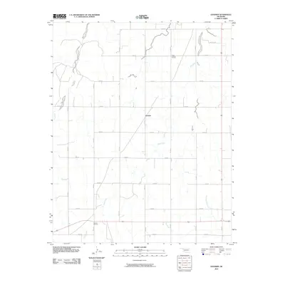
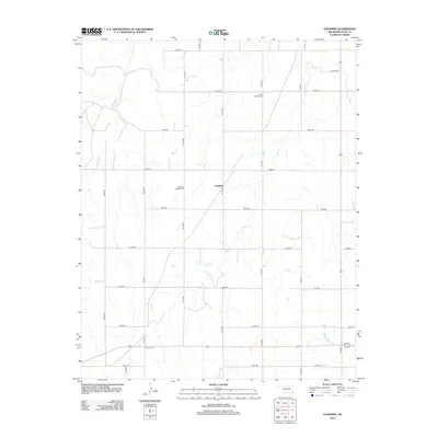
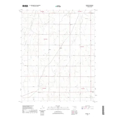
 2022 Goodwin2022 Print · USGSEllis County's rural plains are documented here in the early twenty-first century, showing the small settlement of Goodwin and the outskirts of Shattuck. Genealogists can locate family landmarks like the Ebenezer Baptist Cem and Emmons Cem along the creek beds.
End of results
Showing maps 1-9 of 9
Top cities near Goodwin
Frequently asked questions
- What are the different types of historical maps available for Goodwin?
- What is the oldest map of Goodwin?
- Where can I purchase historical maps of Goodwin for my home or office?
- Where can I download high-res historical maps of Goodwin?
- Are there historical topographic maps available for Goodwin?
- Is there historical aerial imagery available for Goodwin?
- Where are historical maps of Goodwin sourced from?