2020s Maps of Garvin County, Oklahoma
Explore 18 historic maps of Garvin County from the 2020s. These maps offer a rare glimpse into what life looked like during the 2020s — showing old roads, neighborhoods, homes, and landmarks that have changed or disappeared over time.
Whether you're researching your family's past, planning a metal detecting trip, or studying how Garvin County's landscape evolved across the 2020s, these high-resolution maps are a powerful tool for exploring the history of this region.
- Focus on a specific era: All maps on this page are from the 2020s, giving you a focused view of this time period.
- See what’s changed: Compare century-old streets, trails, and buildings to today's modern landscape using overlays and satellite layers.
- Research with precision: Use these maps for genealogy, historical research, land use analysis, or educational projects.
- View, download, or print: Maps are fully viewable online in high resolution, and can be downloaded or printed for your own records.
Start exploring Garvin County's history through authentic maps from the 2020s. This is your window into the past.
Garvin County, OK maps
(18)- 2022 Map of Purdy, 2022 Print
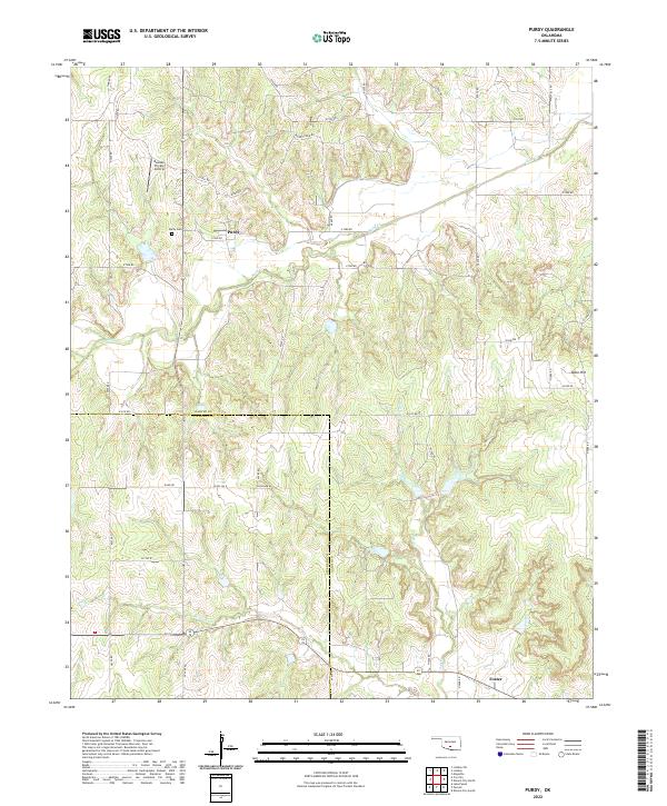 2022 Purdy2022 Print · USGSGarvin County's rural agricultural landscape is documented here during the early twenty-first century. Genealogists and local historians can locate the Purdy Cem and trace the paths of Rush Cr and Wildcat Cr near the settlement of Purdy.
 - 2022 Map of Elmore City NE, 2022 Print
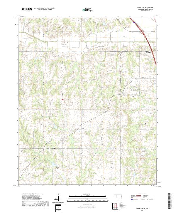 2022 Elmore City NE2022 Print · USGSGarvin County's rural landscape is captured here in the early twenty-first century as agricultural fields meet the fringes of local growth. Genealogists and local historians can locate Klondike Cem or trace the drainage of Rush Cr and Sandy Cr through the township sections.
 - 2022 Map of Pernell, 2022 Print
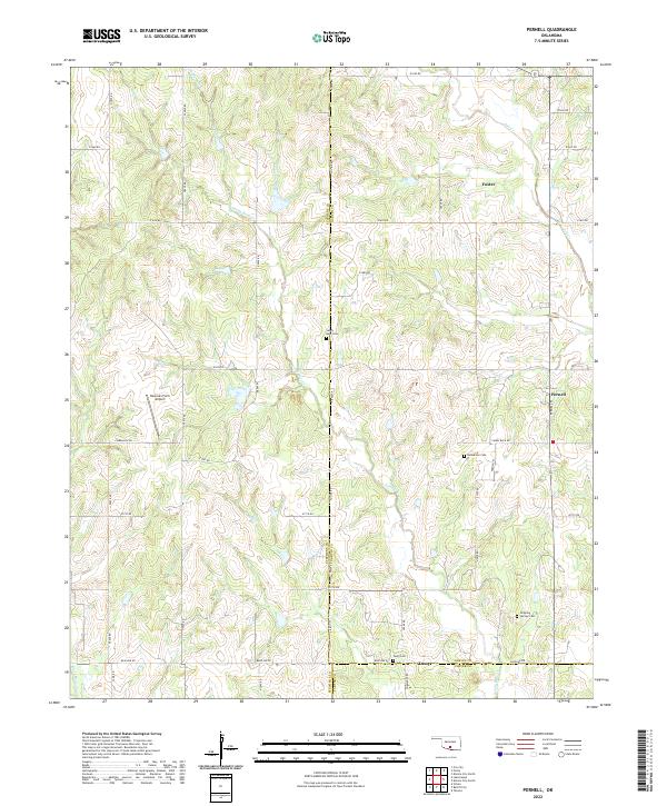 2022 Pernell2022 Print · USGSThe rural borderlands of Stephens, Garvin, and Carter counties are captured here in the early 2020s. Researchers can locate family-named cemeteries such as Robberson Cem and Dripping Springs Cem or trace the early paths of Sandy Bear Cr and Salt Cr.
 - 2022 Map of Lindsay SW, 2022 Print
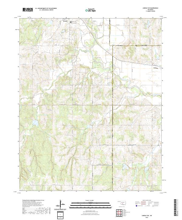 2022 Lindsay SW2022 Print · USGSThe Oklahoma heartland at the intersection of Grady, McClain, and Garvin Counties is shown here in the early twenty-first century. Genealogists and local historians can trace family roots near Bradley, locate the Bradley Cem, and follow the winding course of the Washita River.
 - 2022 Map of Elmore City North, 2022 Print
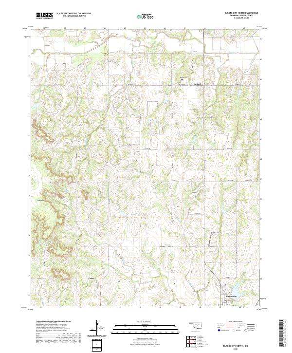 2022 Elmore City North2022 Print · USGSGarvin County's rural heartland is detailed here in the early 2020s, showcasing the persistent settlement patterns of central Oklahoma. Researchers can locate family sites near Antioch Cem, trace the drainages of Rush Cr, and explore the roads around Foster.
 - 2022 Map of Joy, 2022 Print
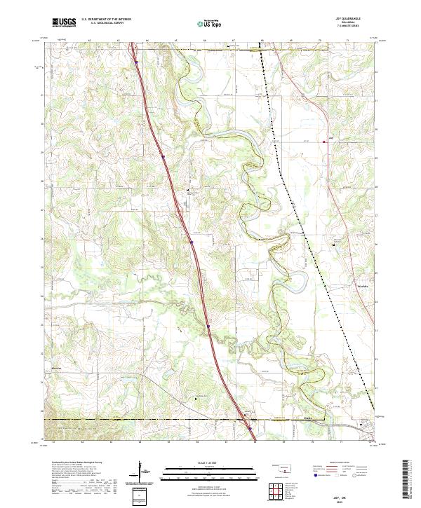 2022 Joy2022 Print · USGSThe Garvin and Murray county line crosses the Oklahoma landscape at the edge of the Arbuckle Mountains in this modern survey. Researchers can trace rural cemetery sites like Wynnewood View Cem and Butterfly Cem alongside the winding Washita River.
 - 2022 Map of Lindsay, 2022 Print
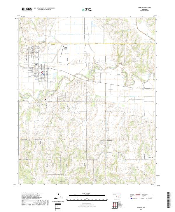 2022 Lindsay2022 Print · USGSLindsay and the surrounding Garvin County ranch lands are documented here in the early twenty-first century. Genealogists and local historians can trace family locations near the Washita River, Green Hill Cem, and the settlement of Wallville.
 - 2022 Map of Hennepin, 2022 Print
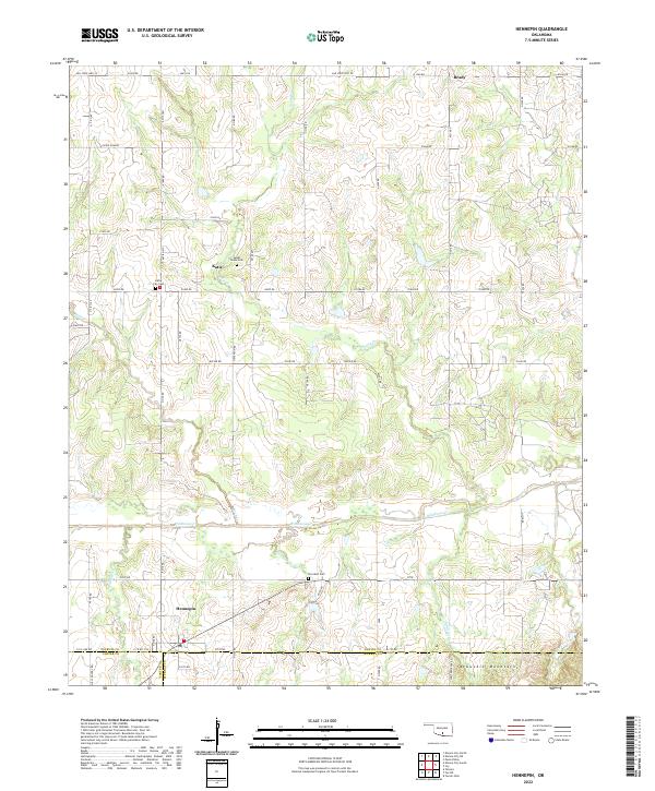 2022 Hennepin2022 Print · USGSThe rural landscapes of south-central Oklahoma are captured here in the 2020s, showing the enduring agricultural and residential patterns of the region. Researchers can trace family sites near Hennepin, Sweet Home Cem, and the foothills of the Arbuckle Mountains.
 - 2022 Map of Paoli, 2022 Print
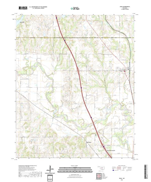 2022 Paoli2022 Print · USGSGarvin and McClain Counties are shown in the 2020s as the river-carved landscape around Paoli continues its long agricultural history. Genealogists and historians can trace family locations near Whitebead Cem, Florence Cem, and the oxbows of the Washita River.
 - 2022 Map of Elmore City South, 2022 Print
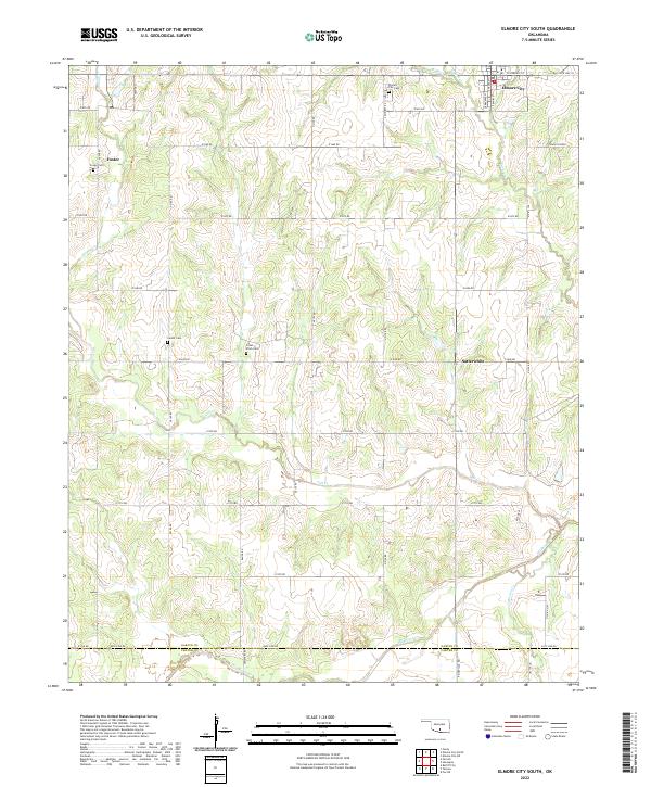 2022 Elmore City South2022 Print · USGSGarvin County in the early twenty-first century reveals a landscape of quiet rural settlements and established family homesteads. Genealogists can trace local roots through sites like Little Flock Cem, the community of Satterwhite, and the outskirts of Elmore City.
 - 2022 Map of Pauls Valley, 2022 Print
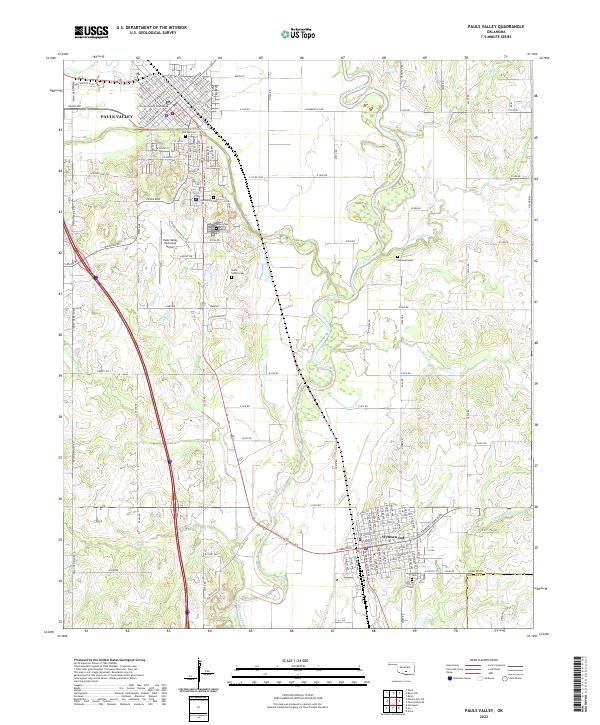 2022 Pauls Valley2022 Print · USGSThe Washita River valley in Garvin County remains a central Oklahoma hub for transportation and agriculture in the early twenty-first century. Researchers can trace family history at The Old Cem and Mount Olivet Cem or locate the historic Garvin County Courthouse in Pauls Valley.
 - 2022 Map of Hart, 2022 Print
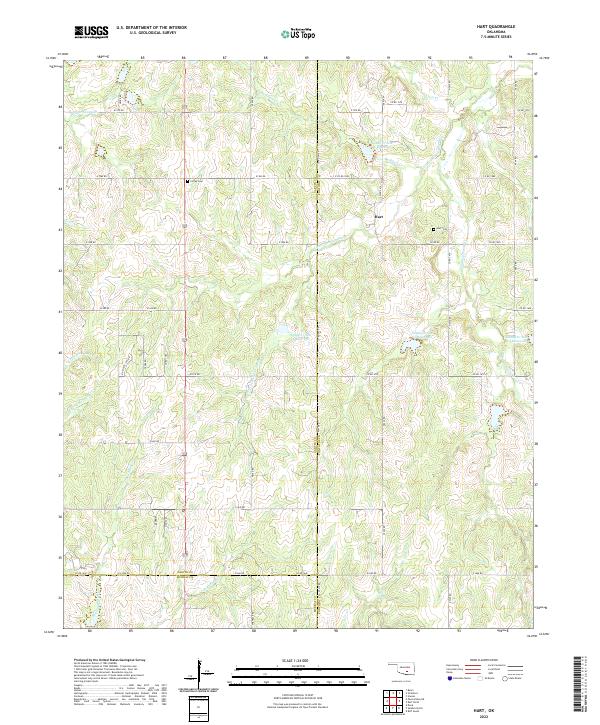 2022 Hart2022 Print · USGSThe community of Hart and the surrounding Garvin County countryside are documented here in the early twenty-first century. Researchers can locate family landmarks like Hart Cem and Corley Cem among the many forks of Canadian Sandy Cr.
 - 2022 Map of Stratford, 2022 Print
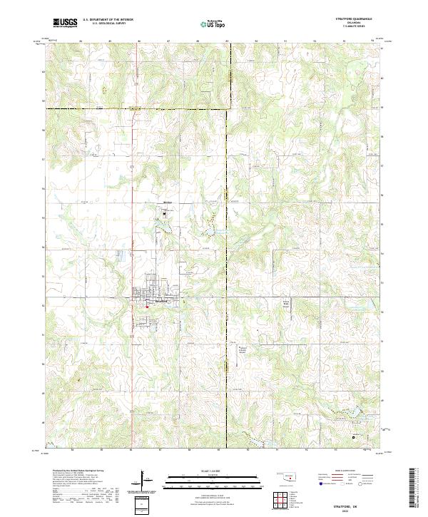 2022 Stratford2022 Print · USGSThe town of Stratford and the settlement of McGee are captured here in the early twenty-first century as part of a tri-county agricultural landscape. Researchers can trace family sites at McGee Cem and Midland Cem or explore the network of local reservoirs like Sandy Cr Site 28 Reservoir.
 - 2022 Map of Byars, 2022 Print
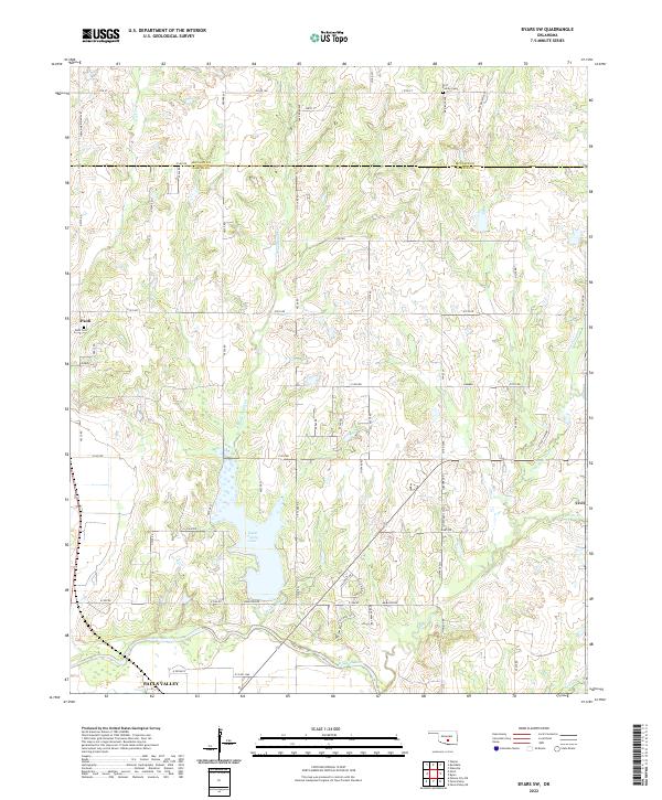
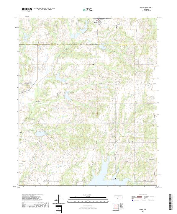 2022 Byars2022 Print · USGSCentral Oklahoma's rural landscapes and county borders are captured here in the early twenty-first century. Genealogists can locate several remote burial sites, including Clabber Flats Cem and Abney Cem, while tracing old homesteads near Boudinot and Civit.
 - 2022 Map of Cox City, 2022 Print
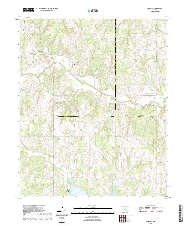 2022 Cox City2022 Print · USGSOklahoma's southern interior reveals its agricultural and hydrological character in this contemporary survey of the region around Cox City. Researchers can trace old family burial grounds like Killgore Cem and Tidwell Cem or follow the shoreline of Lake Fuqua.
 - 2022 Map of Pauls Valley NE, 2022 Print
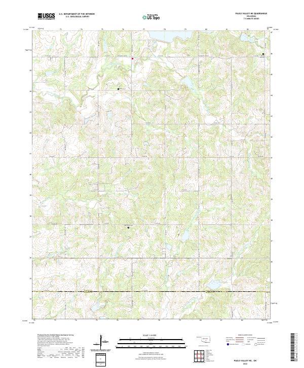 2022 Pauls Valley NE2022 Print · USGSGarvin and Murray counties meet here in the early 2020s, showing a rural Oklahoma landscape defined by the intricate forks of Chigley and Sandy creeks. Genealogists and local historians can locate remote burial sites like Sandy Hill Cemetery and Oak Grove Cemetery along routes like Sunshine Road.
 - 2022 Map of Byars SW, 2022 Print
 2022 Byars SW2022 Print · USGSThe Garvin County countryside north of the Washita River comes into focus in this recent survey of the prairie and creek valleys. Genealogists and local historians can trace the family lands near Paoli and Civit, or locate the Paoli Cem and Fort Family Cem.
 - 2022 Map of Maysville, 2022 Print
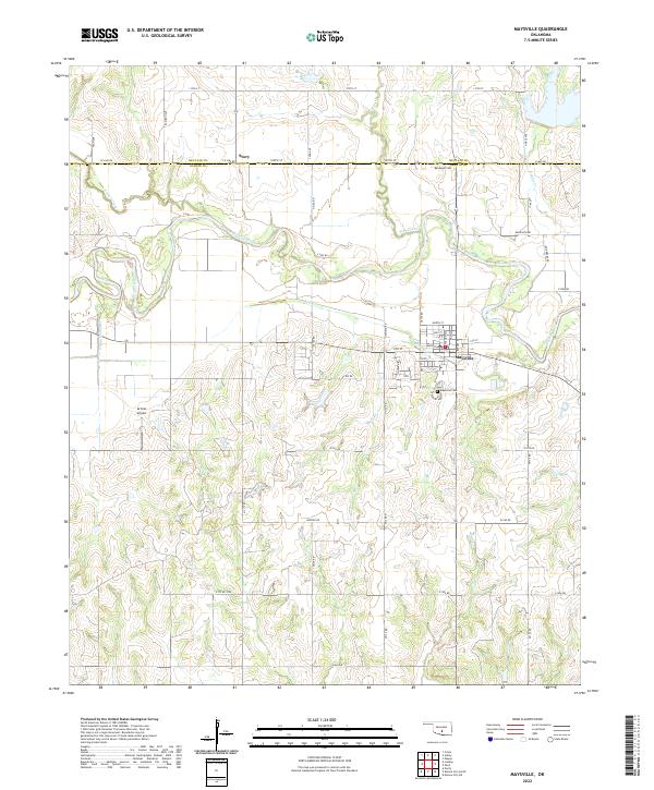 2022 Maysville2022 Print · USGSMaysville and its surrounding river valley are captured here in the early 2020s, showcasing a landscape defined by the Washita River and rural Oklahoma life. Researchers can trace family roots at Randolph Cem or explore the settlement at Story and the streets of Maysville.
End of results
Showing maps 1-18 of 18
Top cities of Garvin County
- Pauls Valley historical maps
- Lindsay historical maps
- Wynnewood historical maps
- Stratford historical maps
- Maysville historical maps
- Elmore City historical maps
See more
Frequently asked questions
- What are the different types of historical maps available for Garvin County?
- What is the oldest map of Garvin County?
- Where can I purchase historical maps of Garvin County for my home or office?
- Where can I download high-res historical maps of Garvin County?
- Are there historical topographic maps available for Garvin County?
- Is there historical aerial imagery available for Garvin County?
- Where are historical maps of Garvin County sourced from?