Old Maps of Acme, Oklahoma for Academic Research
Study the evolution of Acme with 11 high-resolution historic maps. Whether you're teaching, researching, or modeling changes in land use, these maps provide essential visual documentation of urban, environmental, and geographic change.
- Analyze long-term change: Track patterns in development, transportation, and natural features.
- Ideal for environmental or urban studies: Support academic projects with primary historical map data.
- Use in the classroom or lab: Educators and researchers rely on these maps to bring historical context to life.
These maps are a powerful tool for teaching, research, and visualizing how Acme has changed over the decades.
Acme, OK maps
(11)- 1949 Map of Cement, 1953 Print
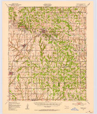 1949 Cement1953 Print · USGSThe oil-and-rail economy of Caddo and Comanche counties is on full display here in the late forties. Researchers can locate dozens of country schools like Highview Sch and Rocky Ford Sch or trace the industrial footprint of the Oil Refinery at Cyril.
 - 1955 Map of Lawton, 1958 Print
 1955 Lawton1958 Print · USGSSouthwestern Oklahoma and North Texas are shown here in the mid-fifties, dominated by the Wichita Mountains and the vital Red River watershed. Genealogists and historians can trace the foundations of Lawton alongside rural landmarks like Rainy Mountain Church and Pleasant Hill School.5 unique versions available
 - 1956 Map of Rocky Ford, 1959 Print
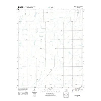
 1956 Rocky Ford1959 Print · USGSThe rural borders of Grady, Caddo, and Comanche Counties come into focus during the mid-fifties. Researchers can trace ancestral locations near the Washita River or find local landmarks like Cedar Grove Church, Ridley Cemetery, and the settlement of Rocky Ford.2 unique versions available
 - 1956 Map of Cement, 1960 Print
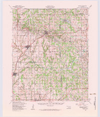 1956 Cement1960 Print · USGSMid-century Caddo and Comanche counties are defined here by a blend of industrial growth and tribal heritage. Genealogists and historians can trace family locations near the Washita Indian Cemetery, the local Oil Refinery, and schools like Pioneer School.3 unique versions available
 - 1981 Map of Lawton
 1981 Lawton1981 Print · USGSSouthwestern Oklahoma in the early eighties shows a landscape shaped by military history and the rising peaks of the Wichitas. Researchers can trace the boundaries of the Fort Sill Military Reservation and locate early settlements like Meers, Chattanooga, and Richards Spur.
 - 1991 Map of Rocky Ford
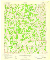
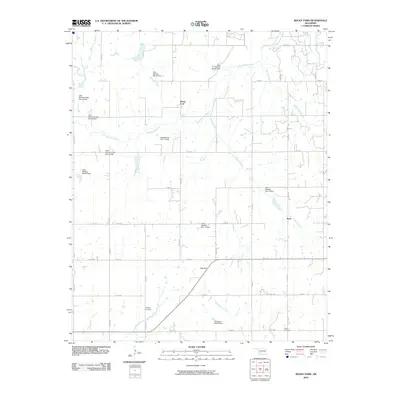
 1991 Rocky Ford1991 Print · USGSThe Oklahoma countryside at the turn of the 1990s reveals a complex network of oil production and rural life where Grady, Caddo, and Comanche counties meet. Researchers can trace family sites near Simpson Cem, explore the Rush Creek Oil and Gas Field, or locate the old community of Acme.
 - 2010 Map of Rocky Ford, 2010 Print
 2010 Rocky Ford2010 Print · USGSCovers Acme, including Rocky Ford, Comanche County, and other nearby areas
 - 2012 Map of Rocky Ford, 2012 Print
 2012 Rocky Ford2012 Print · USGSCovers Acme, including Rocky Ford, Comanche County, and other nearby areas
 - 2016 Map of Rocky Ford, 2016 Print
 2016 Rocky Ford2016 Print · USGSCovers Acme, including Rocky Ford, Comanche County, and other nearby areas
 - 2018 Map of Rocky Ford, 2018 Print
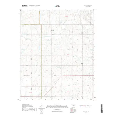 2018 Rocky Ford2018 Print · USGSCovers Acme, including Rocky Ford, Comanche County, and other nearby areas
 - 2022 Map of Rocky Ford, 2022 Print
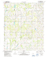
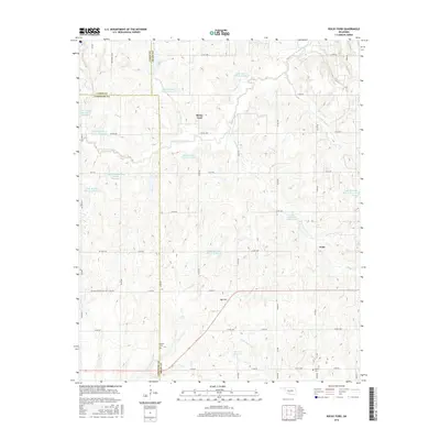
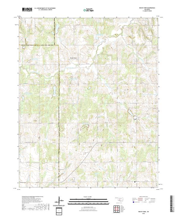 2022 Rocky Ford2022 Print · USGSThe rural landscapes of Grady and Caddo counties are captured here in the early twenty-first century, centered on the communities of Rocky Ford and Acme. Researchers can trace local genealogy at Simpson Cem or follow the managed waters of the Little Washita River.
End of results
Showing maps 1-11 of 11
Top cities near Acme
- Duncan historical maps
- Chickasha historical maps
- Marlow historical maps
- Rush Springs historical maps
- Cyril historical maps
- Ninnekah historical maps
See more
Frequently asked questions
- What are the different types of historical maps available for Acme?
- What is the oldest map of Acme?
- Where can I purchase historical maps of Acme for my home or office?
- Where can I download high-res historical maps of Acme?
- Are there historical topographic maps available for Acme?
- Is there historical aerial imagery available for Acme?
- Where are historical maps of Acme sourced from?