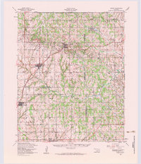
1956 Map of Cement
USGS Topo · Published 1960About this map
Cement and Cyril anchor this mid-century landscape where the industrial footprint of the energy sector meets deeply rooted Indigenous and pioneer history. The topography is defined by the heavy presence of oil wells and a substantial Oil Refinery situated just south of Cyril, illustrating the region's economic drivers during the 1950s. This industrial layer exists alongside significant cultural landmarks, including the Little Washita Indian Church, Cyril Indian Mission, and the Washita Indian Cemetery, which speak to the complex heritage of the Caddo and Comanche county borderlands.
Find a feature on this map
44 named features on this map. Tap any name to fly to it.
Don’t see what you’re looking for? This feature index may not catch every label — zoom into the map to look around manually.
Map Details
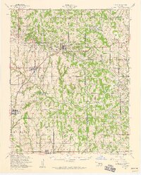
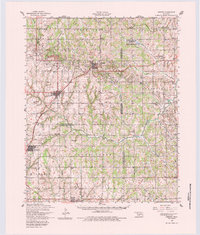
Editions of this 1956 Cement Map
3 editions found
Other maps of this area

1902 · Rush Springs
USGS Topo · 1:125,000

1904 · Chickasha
USGS Topo · 1:125,000

1945 · Anadarko
USGS Topo · 1:62,500

1946 · Lawton
USGS Topo · 1:62,500

1949 · Arbuckle Hill
USGS Topo · 1:24,000

1949 · Cement
USGS Topo · 1:62,500

1949 · Elgin
USGS Topo · 1:24,000

1949 · Nellie
USGS Topo · 1:62,500

1949 · Rush Springs
USGS Topo · 1:62,500

1950 · Rush Springs
USGS Topo · 1:62,500