2000s (21st Century) Maps of Tuttle, Oklahoma
Explore 10 historic maps of Tuttle from the 2000s (21st Century). These maps offer a rare glimpse into what life looked like during the 2000s — showing old roads, neighborhoods, homes, and landmarks that have changed or disappeared over time.
Whether you're researching your family's past, planning a metal detecting trip, or studying how Tuttle's landscape evolved across the 2000s, these high-resolution maps are a powerful tool for exploring the history of this region.
- Focus on a specific era: All maps on this page are from the 2000s, giving you a focused view of this time period.
- See what’s changed: Compare century-old streets, trails, and buildings to today's modern landscape using overlays and satellite layers.
- Research with precision: Use these maps for genealogy, historical research, land use analysis, or educational projects.
- View, download, or print: Maps are fully viewable online in high resolution, and can be downloaded or printed for your own records.
Start exploring Tuttle's history through authentic maps from the 2000s. This is your window into the past.
Tuttle, OK maps
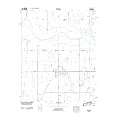
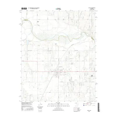
(10)- 2009 Map of Tuttle, 2009 Print
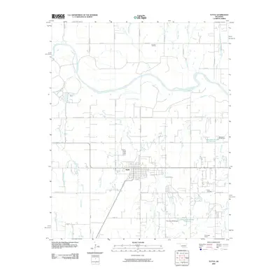 2009 Tuttle2009 Print · USGSCovers Tuttle, including Oklahoma City, Union City, and other nearby areas
 - 2009 Map of Oklahoma City SW, 2009 Print
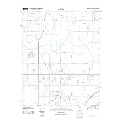
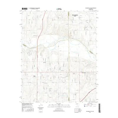
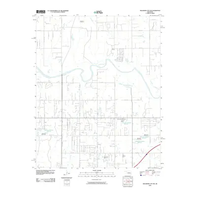 2009 Oklahoma City SW2009 Print · USGSCovers Tuttle, including Oklahoma City, Newcastle, and other nearby areas
 - 2012 Map of Oklahoma City SW, 2012 Print
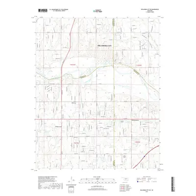
 2012 Oklahoma City SW2012 Print · USGSCovers Tuttle, including Oklahoma City, Newcastle, and other nearby areas
 - 2012 Map of Tuttle, 2012 Print
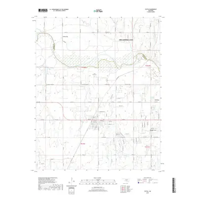
 2012 Tuttle2012 Print · USGSCovers Tuttle, including Oklahoma City, Union City, and other nearby areas
 - 2016 Map of Tuttle, 2016 Print
 2016 Tuttle2016 Print · USGSCovers Tuttle, including Oklahoma City, Union City, and other nearby areas
 - 2016 Map of Oklahoma City SW, 2016 Print
 2016 Oklahoma City SW2016 Print · USGSCovers Tuttle, including Oklahoma City, Newcastle, and other nearby areas
 - 2018 Map of Oklahoma City SW, 2018 Print
 2018 Oklahoma City SW2018 Print · USGSCovers Tuttle, including Oklahoma City, Newcastle, and other nearby areas
 - 2018 Map of Tuttle, 2018 Print
 2018 Tuttle2018 Print · USGSCovers Tuttle, including Oklahoma City, Union City, and other nearby areas
 - 2022 Map of Oklahoma City SW, 2022 Print
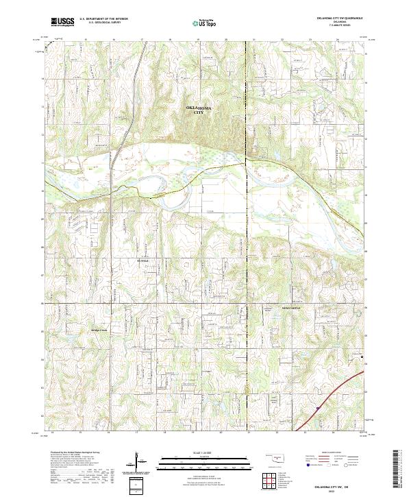 2022 Oklahoma City SW2022 Print · USGSOklahoma's central plains come into focus in the 2020s, where the expansion of Oklahoma City meets the Canadian River valley. Genealogists and local historians can pinpoint Clopton Cem, the Cole Landing Area, and landmarks like Bartons Butte.
 - 2022 Map of Tuttle, 2022 Print
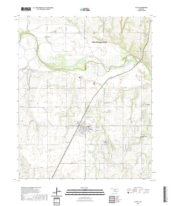 2022 Tuttle2022 Print · USGSThe Canadian River corridor and the growing community of Tuttle are documented here in the early twenty-first century. Researchers can trace local lineage through Silver City Cem and Fairview Cem or locate early homestead sites near Snake Creek.
End of results
Showing maps 1-10 of 10
Top cities near Tuttle
- Oklahoma City historical maps
- Norman historical maps
- Yukon historical maps
- Bethany historical maps
- Mustang historical maps
- El Reno historical maps
See more
Top neighborhoods of Tuttle
Frequently asked questions
- What are the different types of historical maps available for Tuttle?
- What is the oldest map of Tuttle?
- Where can I purchase historical maps of Tuttle for my home or office?
- Where can I download high-res historical maps of Tuttle?
- Are there historical topographic maps available for Tuttle?
- Is there historical aerial imagery available for Tuttle?
- Where are historical maps of Tuttle sourced from?