Old Maps of Clyde, Oklahoma for Genealogy
Trace your family roots with 9 historic maps of Clyde. These high-res maps reveal old neighborhoods, homesites, landmarks, and streets — helping you uncover where your ancestors lived and how the area evolved over time.
- Explore historic neighborhoods: Identify where your relatives may have lived in the 1800s or 1900s.
- Compare maps over time: Trace the changes in streets, buildings, and landmarks for multi-generational research.
- Perfect for genealogy & ancestry research: Used by family historians and researchers to map out lineage and migration.
These maps are an incredible resource for exploring your personal connection to Clyde's past.
Clyde, OK maps
(9)- 1955 Map of Enid, 1966 Print
 1955 Enid1966 Print · USGSNorth-central Oklahoma's transition from open plains to the blackjack hills of the Osage Indian Reservation is captured in the mid-1950s. Researchers can trace the development of the Naval Reserve Oil Field, the grounds of Vance AFB, and the early footprints of Tulsa and Stillwater.4 unique versions available
 - 1958 Map of Enid
 1958 Enid1958 Print · USGSNorthern Oklahoma is mapped here in the late fifties, showcasing a dense network of petroleum production and historic tribal lands. Researchers can trace the legacy of the Osage Indian Reservation, early energy hubs like the Cushing Oil Field, and the Chilocco Indian Agricultural School.2 unique versions available
 - 1968 Map of Wakita SE, 1970 Print
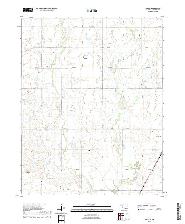
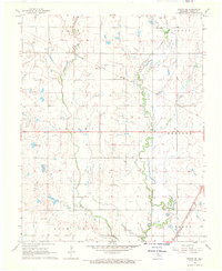 1968 Wakita SE1970 Print · USGSGrant County grain and rail networks were well established by the late sixties, centered on the small hub of Clyde. Genealogists can trace family history at Klondike Cem or Fairview Cem and follow the route of the Atchison Topeka and Santa Fe.
 - 1985 Map of Ponca City
 1985 Ponca City1985 Print · USGSNorth-central Oklahoma during the mid-eighties shows a landscape shaped by petroleum and heavy rail. Trace the paths of the Atchison Topeka and Santa Fe through Ponca City or find local landmarks like Northern Oklahoma Junior College and Old Bliss.3 unique versions available
 - 2009 Map of Wakita SE, 2009 Print
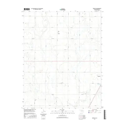
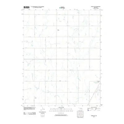 2009 Wakita SE2009 Print · USGSCovers Clyde, including Medford, Grant County, and other nearby areas
 - 2012 Map of Wakita SE, 2012 Print
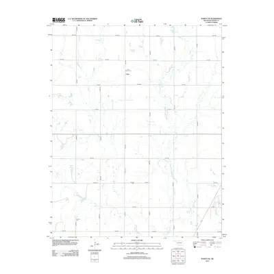 2012 Wakita SE2012 Print · USGSCovers Clyde, including Medford, Grant County, and other nearby areas
 - 2016 Map of Wakita SE, 2016 Print
 2016 Wakita SE2016 Print · USGSCovers Clyde, including Medford, Grant County, and other nearby areas
 - 2018 Map of Wakita SE, 2018 Print
 2018 Wakita SE2018 Print · USGSCovers Clyde, including Medford, Grant County, and other nearby areas
 - 2022 Map of Wakita SE, 2022 Print
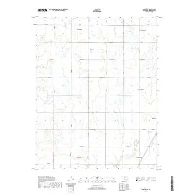
 2022 Wakita SE2022 Print · USGSNorthern Oklahoma's rural landscape comes into focus in this recent survey of the country near the Kansas border. Genealogists can locate several family burial sites, including Saint Anthony Cem near Clyde and Klondike Cem further south.
End of results
Showing maps 1-9 of 9
Top cities near Clyde
- Caldwell historical maps
- Medford historical maps
- Pond Creek historical maps
- Wakita historical maps
- Manchester historical maps
- Bluff City historical maps
See more
Frequently asked questions
- What are the different types of historical maps available for Clyde?
- What is the oldest map of Clyde?
- Where can I purchase historical maps of Clyde for my home or office?
- Where can I download high-res historical maps of Clyde?
- Are there historical topographic maps available for Clyde?
- Is there historical aerial imagery available for Clyde?
- Where are historical maps of Clyde sourced from?