Old Maps of Shrewder, Oklahoma for Genealogy
Trace your family roots with 8 historic maps of Shrewder. These high-res maps reveal old neighborhoods, homesites, landmarks, and streets — helping you uncover where your ancestors lived and how the area evolved over time.
- Explore historic neighborhoods: Identify where your relatives may have lived in the 1800s or 1900s.
- Compare maps over time: Trace the changes in streets, buildings, and landmarks for multi-generational research.
- Perfect for genealogy & ancestry research: Used by family historians and researchers to map out lineage and migration.
These maps are an incredible resource for exploring your personal connection to Shrewder's past.
Shrewder, OK maps
(8)- 1955 Map of Lawton, 1958 Print
 1955 Lawton1958 Print · USGSSouthwestern Oklahoma and North Texas are shown here in the mid-fifties, dominated by the Wichita Mountains and the vital Red River watershed. Genealogists and historians can trace the foundations of Lawton alongside rural landmarks like Rainy Mountain Church and Pleasant Hill School.5 unique versions available
 - 1971 Map of Shrewder, 1973 Print
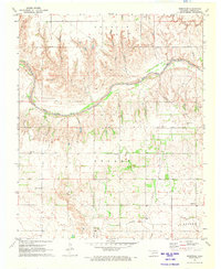 1971 Shrewder1973 Print · USGSHarmon County at the start of the 1970s reveals a landscape of isolated farmsteads and rural community centers. Researchers can trace family roots through the Tea Cross Cem or locate old gathering points like Ron, Shrewder, and Fairview Ch.
 - 1985 Map of Altus
 1985 Altus1985 Print · USGSSouthwestern Oklahoma in the mid-eighties shows a vast agricultural and military landscape shaped by the Red River forks. Trace the intersections of the Atchison Topeka and Santa Fe railroad with rural points like Fairmount Cem and Duke.2 unique versions available
 - 2010 Map of Shrewder, 2010 Print
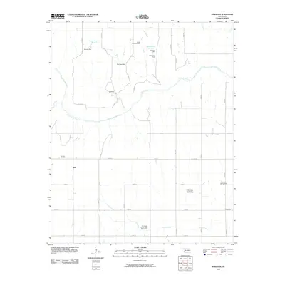 2010 Shrewder2010 Print · USGSHarmon County at the start of the 2010s reveals a landscape of family-named water projects and remote agricultural settlements. Researchers can trace local lineages through the Tea Cross Cemetery and examine the hydrological impact of the Claude Seymour Dam and Bob Moran Dam.
 - 2012 Map of Shrewder, 2012 Print
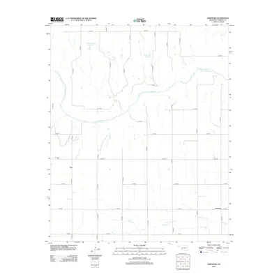 2012 Shrewder2012 Print · USGSHarmon County, Oklahoma, is documented here in the early twenty-first century as a landscape of rural section roads and river bends. Local historians and genealogists can trace the environs of Shrewder and Ron, or locate the historic Tea Cross Cem near the Salt Fork Red River.
 - 2016 Map of Shrewder, 2016 Print
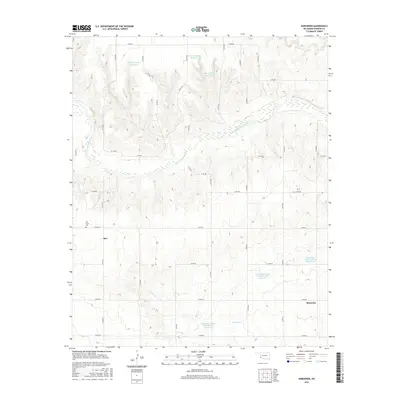 2016 Shrewder2016 Print · USGSHarmon County in the mid-2010s reveals a landscape of rural water management and quiet settlements. Genealogists and local historians can trace family-named water features like Claude Seymour Reservoir and find burial sites at Tea Cross Cem near Ron.
 - 2018 Map of Shrewder, 2018 Print
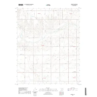 2018 Shrewder2018 Print · USGSHarmon County's rural character and water management are on display in this contemporary Oklahoma survey. Researchers can locate family landmarks like the Tea Cross Cem and trace the paths of Turkey Cr or the Salt Fork Red River.
 - 2022 Map of Shrewder, 2022 Print
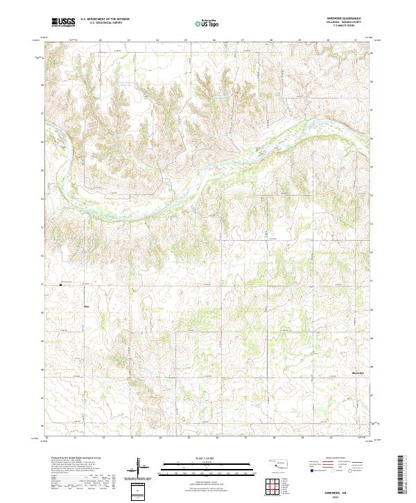 2022 Shrewder2022 Print · USGSHarmon County, Oklahoma, is shown in the early 2020s, centered on the ranching and farming lands surrounding the Salt Fork Red River. Genealogists and local historians can locate the Tea Cross Cem and trace the small settlements of Ron and Shrewder.
End of results
Showing maps 1-8 of 8
Top cities near Shrewder
Frequently asked questions
- What are the different types of historical maps available for Shrewder?
- What is the oldest map of Shrewder?
- Where can I purchase historical maps of Shrewder for my home or office?
- Where can I download high-res historical maps of Shrewder?
- Are there historical topographic maps available for Shrewder?
- Is there historical aerial imagery available for Shrewder?
- Where are historical maps of Shrewder sourced from?