Old Maps of Vinson, Oklahoma for Academic Research
Study the evolution of Vinson with 8 high-resolution historic maps. Whether you're teaching, researching, or modeling changes in land use, these maps provide essential visual documentation of urban, environmental, and geographic change.
- Analyze long-term change: Track patterns in development, transportation, and natural features.
- Ideal for environmental or urban studies: Support academic projects with primary historical map data.
- Use in the classroom or lab: Educators and researchers rely on these maps to bring historical context to life.
These maps are a powerful tool for teaching, research, and visualizing how Vinson has changed over the decades.
Vinson, OK maps
(8)- 1955 Map of Lawton, 1958 Print
 1955 Lawton1958 Print · USGSSouthwestern Oklahoma and North Texas are shown here in the mid-fifties, dominated by the Wichita Mountains and the vital Red River watershed. Genealogists and historians can trace the foundations of Lawton alongside rural landmarks like Rainy Mountain Church and Pleasant Hill School.5 unique versions available
 - 1971 Map of Vinson, 1973 Print
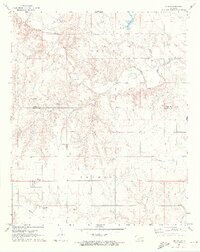 1971 Vinson1973 Print · USGSHarmon County in the early 1970s is characterized by its agricultural draws and the winding Elm Fork Red River. Genealogists and local historians can locate Hackberry Cem, Cave Creek Cem, and the small settlement of Vinson.2 unique versions available
 - 1985 Map of Altus
 1985 Altus1985 Print · USGSSouthwestern Oklahoma in the mid-eighties shows a vast agricultural and military landscape shaped by the Red River forks. Trace the intersections of the Atchison Topeka and Santa Fe railroad with rural points like Fairmount Cem and Duke.2 unique versions available
 - 2010 Map of Vinson, 2010 Print
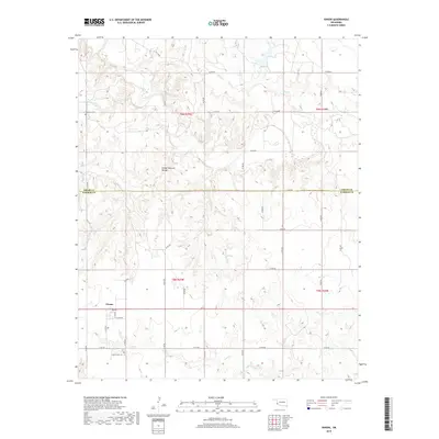
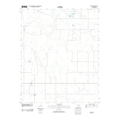 2010 Vinson2010 Print · USGSCovers Vinson, including Greer County, Harmon County, and other nearby areas
 - 2012 Map of Vinson, 2012 Print
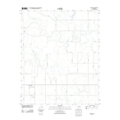 2012 Vinson2012 Print · USGSCovers Vinson, including Greer County, Harmon County, and other nearby areas
 - 2016 Map of Vinson, 2016 Print
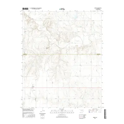 2016 Vinson2016 Print · USGSCovers Vinson, including Greer County, Harmon County, and other nearby areas
 - 2018 Map of Vinson, 2018 Print
 2018 Vinson2018 Print · USGSCovers Vinson, including Greer County, Harmon County, and other nearby areas
 - 2022 Map of Vinson, 2022 Print
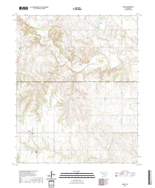 2022 Vinson2022 Print · USGSHarmon and Greer counties in the 2020s remain defined by their deep-cut creek beds and original section-line road grids. Genealogists and local historians can locate the Hackberry Cem, the Cave Creek Cem, and the geologic Vinson Natural Bridge near Vinson.
End of results
Showing maps 1-8 of 8
Top cities near Vinson
Frequently asked questions
- What are the different types of historical maps available for Vinson?
- What is the oldest map of Vinson?
- Where can I purchase historical maps of Vinson for my home or office?
- Where can I download high-res historical maps of Vinson?
- Are there historical topographic maps available for Vinson?
- Is there historical aerial imagery available for Vinson?
- Where are historical maps of Vinson sourced from?