1960s Maps of Haskell County, Oklahoma
Explore 22 historic maps of Haskell County from the 1960s. These maps offer a rare glimpse into what life looked like during the 1960s — showing old roads, neighborhoods, homes, and landmarks that have changed or disappeared over time.
Whether you're researching your family's past, planning a metal detecting trip, or studying how Haskell County's landscape evolved across the 1960s, these high-resolution maps are a powerful tool for exploring the history of this region.
- Focus on a specific era: All maps on this page are from the 1960s, giving you a focused view of this time period.
- See what’s changed: Compare century-old streets, trails, and buildings to today's modern landscape using overlays and satellite layers.
- Research with precision: Use these maps for genealogy, historical research, land use analysis, or educational projects.
- View, download, or print: Maps are fully viewable online in high resolution, and can be downloaded or printed for your own records.
Start exploring Haskell County's history through authentic maps from the 1960s. This is your window into the past.
Haskell County, OK maps
(22)- 1962 Map of Stigler East, 1964 Print
 1962 Stigler East1964 Print · USGSHaskell County at the start of the sixties is captured here, showing the agricultural and industrial transition of the Sans Bois area. Local historians can trace family locations near Garland Sch, congregations like Garland Chapel, and industry at the local Strip Mine.2 unique versions available
 - 1962 Map of Stigler West, 1964 Print
 1962 Stigler West1964 Print · USGSHaskell and Muskogee counties are captured in the early sixties as the Canadian River shaped the local economy and geography. Genealogists and historians can trace old community ties through sites like Briartown, Ross Sch, and the Starr Cem.3 unique versions available
 - 1963 Map of Stigler NE, 1964 Print
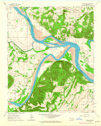 1963 Stigler NE1964 Print · USGSThe confluence of the Arkansas and Canadian rivers in the early sixties reveals a landscape of river-bottom farming and upland ridges. Genealogists can locate family burial sites like Starr Cem and Sandtown Cem or trace the Missouri Pacific rail line.3 unique versions available
 - 1963 Map of Porum, 1964 Print
 1963 Porum1964 Print · USGSThe Oklahoma hill country comes into focus in the early sixties as the Eufaula Reservoir begins to shape the landscape. Genealogists and local historians can trace the foundations of Porum and Hoyt, alongside rural landmarks like Sandy Ridge Sch and Starr Cem.2 unique versions available
 - 1963 Map of Holt Mountain, 1964 Print
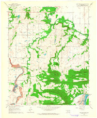 1963 Holt Mountain1964 Print · USGSMuskogee County's wooded hills and creek valleys are captured in the early sixties, showing a landscape shaped by rural education and small family cemeteries. Researchers can trace local heritage at Popes Chapel Cemetery, Sims School, and the mines near the Canadian River.3 unique versions available
 - 1963 Map of Texanna, 1964 Print
 1963 Texanna1964 Print · USGSOklahoma's river valleys were undergoing a massive transformation in the early sixties as the reservoir began to fill. Researchers can trace land tracts near the Old Indian Treaty Boundary or find family sites like Lindsey Chapel and Triplett Cem.3 unique versions available
 - 1964 Map of Stigler NE
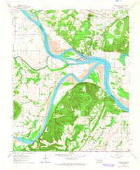 1964 Stigler NE1964 Print · USGSThe confluence of the Arkansas and Canadian rivers defined life in this corner of Oklahoma during the early sixties. Genealogists can trace family roots through numerous burial grounds like Fields Cem and Jones Cem, or locate the Stony Point Sch and McIntosh Chapel.
 - 1965 Map of Fort Smith
 1965 Fort Smith1965 Print · USGSEastern Oklahoma and Western Arkansas are captured here during a period of massive post-war change as new reservoirs reshaped the river valleys. Genealogists and historians can trace the rail networks of the Midland Valley RR and find established communities like Stilwell, Sallisaw, and Stigler.
 - 1967 Map of Fort Smith
 1967 Fort Smith1967 Print · USGSThe Arkansas River valley and the foothills of the Ozarks are captured here during a period of significant military and industrial activity. Researchers can trace the sprawling bounds of Camp Chaffee and Camp Gruber or locate vanished rail stops along the Midland Valley RR.
 - 1967 Map of Keota, 1968 Print
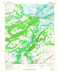 1967 Keota1968 Print · USGSHaskell County underwent significant change in the late 1960s as the Robert S. Kerr Reservoir project prepared to flood the valley. Genealogists and historians can trace the foundations of Keota and Shoat, or locate family markers at Little Sans Bois Cem and the Midland Valley RR line.2 unique versions available
 - 1967 Map of Robert S Kerr Dam, 1968 Print
 1967 Robert S Kerr Dam1968 Print · USGSIn the late 1960s, the Arkansas River valley in Haskell and Le Flore counties underwent a massive change as the Robert S Kerr Reservoir was being filled. Researchers can trace the original landscape of Cowlington and Star or locate family sites like Short Mountain Cem and Brent Cem near the new shoreline.3 unique versions available
 - 1967 Map of Vian, 1968 Print
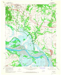 1967 Vian1968 Print · USGSThe Arkansas River valley is captured here in the late sixties during the construction of the Robert S. Kerr Reservoir. Researchers can trace soon-to-be-submerged lands near Sadie or locate historic rural sites like Tamaha Cem and Bethel Ch.4 unique versions available
 - 1968 Map of Bokoshe, 1969 Print
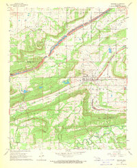 1968 Bokoshe1969 Print · USGSBokoshe and the surrounding coal country are captured here in the late sixties, showing a landscape shaped by mining and rail. Researchers can trace family roots through the Bokoshe Cem and Brazil Cem or locate industrial sites like the Strip Mines and the Quarry.3 unique versions available
 - 1968 Map of Mc Curtain SW, 1969 Print
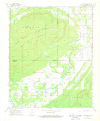 1968 Mc Curtain SW1969 Print · USGSThe rugged highlands of the Sans Bois and Diamond Mountains meet the valley floor in the 1960s. Researchers can trace energy-sector development at the Red Oak Norris Gas Field and find family sites at Norris Cem or Rosedale Ch.2 unique versions available
 - 1968 Map of Mc Curtain, 1970 Print
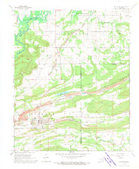 1968 Mc Curtain1970 Print · USGSHaskell County is shown during a period of significant change in the late 1960s as the Robert S Kerr Reservoir begins to alter the local landscape. Genealogists and historians can trace the foundations of McCurtain, locating the Garden of Memories Cem and the extensive network of Strip Mines that defined the era.2 unique versions available
 - 1968 Map of Lafayette, 1971 Print
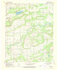 1968 Lafayette1971 Print · USGSHaskell County was undergoing a major transformation in the late sixties as the new reservoir began to reshape the valley floor. Genealogists and historians can trace local roots through the Lafayette Ch, the Choctaw Mine, and the Old Panther Cem.2 unique versions available
 - 1969 Map of Kinta, 1971 Print
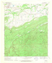 1969 Kinta1971 Print · USGSKinta and the surrounding coal-and-gas fields of Haskell County are captured here in the late sixties as the landscape transitioned into the foothills. Researchers can trace the Old Railroad Grade, locate the Shady Grove Cem, and identify numerous Strip Mine sites.2 unique versions available
 - 1969 Map of Quinton North, 1971 Print
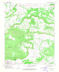 1969 Quinton North1971 Print · USGSEastern Oklahoma's ridge-and-valley landscape is captured here during the late 1960s, showing the intersection of rural life and early energy development. Researchers can trace family sites at Quinton Cem and Mountain Home Cem or locate industrial markers like the Strip Mine and Ware Farm Landing Field.3 unique versions available
 - 1969 Map of Quinton South, 1971 Print
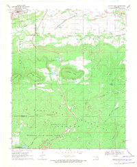 1969 Quinton South1971 Print · USGSThe San Bois Mountains of southeast Oklahoma are captured here in the late sixties as the region balanced mining and recreation. Genealogists and historians can trace the Lewisville Cem, follow an Old Railroad Grade, or explore the early layout of Robbers Cave State Park.4 unique versions available
 - 1969 Map of Enterprise, 1971 Print
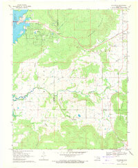 1969 Enterprise1971 Print · USGSHaskell and Pittsburg counties are captured here in the late sixties as the rising waters of Eufaula Reservoir reshaped the shoreline. Genealogists and local historians can locate Enterprise and Russellville, alongside Enterprise Cem and Oak Ridge Ch.2 unique versions available
 - 1969 Map of Sans Bois, 1971 Print
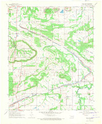 1969 Sans Bois1971 Print · USGSHaskell County's industrial and rural character is on display in the late sixties, showing the expansion of energy extraction. Locate family sites near Sans Bois Cemetery or trace the strip mines that weave through Beaver and Machire.
 - 1969 Map of Lequire, 1971 Print
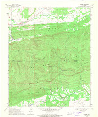 1969 Lequire1971 Print · USGSEastern Oklahoma at the end of the sixties reveals a landscape defined by mountain ridges and the energy industry. Genealogists and historians can trace the roads near Lequire and Lodi, or locate landmarks like Ryan Peak and Turkey Flat.2 unique versions available
End of results
Showing maps 1-22 of 22
Top cities of Haskell County
- Stigler historical maps
- Keota historical maps
- McCurtain historical maps
- Kinta historical maps
- Whitefield historical maps
- Tamaha historical maps
Frequently asked questions
- What are the different types of historical maps available for Haskell County?
- What is the oldest map of Haskell County?
- Where can I purchase historical maps of Haskell County for my home or office?
- Where can I download high-res historical maps of Haskell County?
- Are there historical topographic maps available for Haskell County?
- Is there historical aerial imagery available for Haskell County?
- Where are historical maps of Haskell County sourced from?