Old Maps of Holdenville, Oklahoma for Metal Detecting
Plan your next treasure hunt with 17 historic maps of Holdenville. Find old homesites, ghost towns, trails, and gathering spots that may be lost to time — perfect for identifying promising metal detecting locations.
- Locate forgotten sites: Uncover places like long-lost settlements, abandoned rail lines, or gathering spots.
- Plan better hunts: Use map overlays combined with LiDAR or satellite views to narrow in on historically rich areas.
- Made for detectorists: Thousands of hobbyists use these maps to discover relics, coins, and hidden history.
Use these historic maps to boost your research and find new opportunities beneath the surface of Holdenville.
Holdenville, OK maps
(17)- 1900 Map of Wewoka
 1900 Wewoka1900 Print · USGSIndian Territory at the turn of the century shows a landscape defined by tribal nations and the early expansion of the railway. Genealogists can trace family homesteads near Wewoka and Holdenville, or locate remote landmarks like Marks Store and the Baptist Mission.4 unique versions available
 - 1954 Map of Oklahoma City
 1954 Oklahoma City1954 Print · USGSOklahoma City and its surrounding counties are captured here in the early fifties during a period of significant postwar growth. Researchers can trace the development of the Turner Turnpike and locate aviation hubs like Tinker Field or Will Rogers Field.
 - 1957 Map of Oklahoma City, 1969 Print
 1957 Oklahoma City1969 Print · USGSCentral Oklahoma is captured here in a period of significant mid-century growth and industrialization. Researchers can trace family roots through numerous rural markers like Memory Lane Cem, New Hope School, and the sprawling grounds of Tinker Air Force Base.3 unique versions available
 - 1963 Map of Oklahoma City
 1963 Oklahoma City1963 Print · USGSCentral Oklahoma in the early sixties showcases a landscape of rapid suburban growth and established oil production. Researchers can trace historic rail lines like the Chicago Rock Island and Pacific RR or locate rural landmarks such as Mayflower School and Bethel Church.
 - 1972 Map of Holdenville, 1974 Print
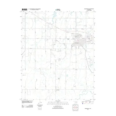
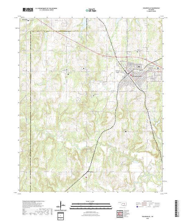
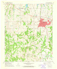 1972 Holdenville1974 Print · USGSHoldenville and the surrounding Oklahoma oil fields are captured in detail during the early seventies. Genealogists and historians can trace family sites at Buchner Memorial Cemetery, local schools like Thomas School, and industrial landmarks across the Jacobs Oil Field.
 - 1972 Map of Lake Holdenville, 1974 Print
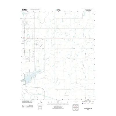
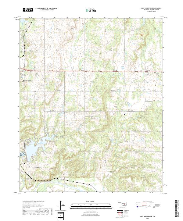
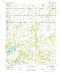 1972 Lake Holdenville1974 Print · USGSIn the early 1970s, Hughes County saw a landscape defined by the Canadian River and a booming petroleum industry. Family historians can trace rural roots at Glory Cem or follow the legacy of local congregations like Hulsey Ch and Hickory Grove Ch.2 unique versions available
 - 1985 Map of Shawnee
 1985 Shawnee1985 Print · USGSCentral Oklahoma in the mid-eighties shows a landscape shaped by the North Canadian River and a maturing highway network. Trace family roots and old rail lines through Holdenville, Seminole, and the grounds of St Gregory College.2 unique versions available
 - 2010 Map of Holdenville, 2010 Print
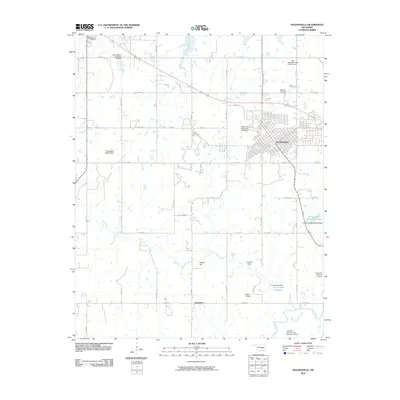 2010 Holdenville2010 Print · USGSCovers Holdenville, including Wewoka, Spaulding, and other nearby areas
 - 2010 Map of Lake Holdenville, 2010 Print
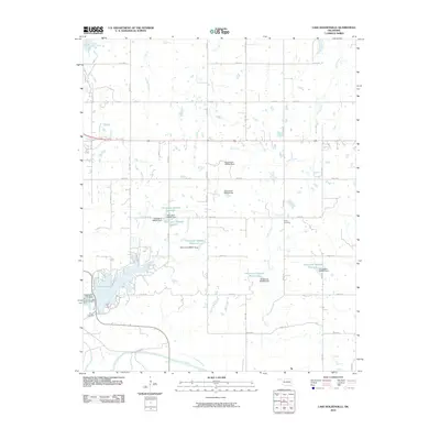 2010 Lake Holdenville2010 Print · USGSCovers Holdenville, including Horntown, Hughes County, and other nearby areas
 - 2012 Map of Lake Holdenville, 2012 Print
 2012 Lake Holdenville2012 Print · USGSCovers Holdenville, including Horntown, Hughes County, and other nearby areas
 - 2012 Map of Holdenville, 2012 Print
 2012 Holdenville2012 Print · USGSCovers Holdenville, including Wewoka, Spaulding, and other nearby areas
 - 2016 Map of Holdenville, 2016 Print
 2016 Holdenville2016 Print · USGSCovers Holdenville, including Wewoka, Spaulding, and other nearby areas
 - 2016 Map of Lake Holdenville, 2016 Print
 2016 Lake Holdenville2016 Print · USGSCovers Holdenville, including Horntown, Hughes County, and other nearby areas
 - 2018 Map of Holdenville, 2018 Print
 2018 Holdenville2018 Print · USGSCovers Holdenville, including Wewoka, Spaulding, and other nearby areas
 - 2018 Map of Lake Holdenville, 2018 Print
 2018 Lake Holdenville2018 Print · USGSCovers Holdenville, including Horntown, Hughes County, and other nearby areas
 - 2022 Map of Lake Holdenville, 2022 Print
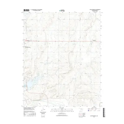
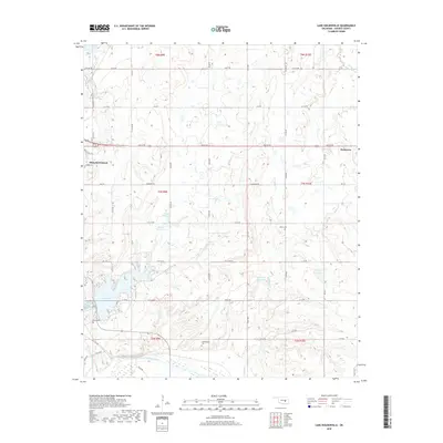
 2022 Lake Holdenville2022 Print · USGSHughes County at the start of the 2020s shows a landscape deeply shaped by the Canadian River and the waters of Lake Holdenville. Genealogists and local historians can trace family roots at Stubblefield Cem, Glory Cem, and the rural community of Horntown.
 - 2022 Map of Holdenville, 2022 Print
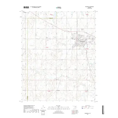
 2022 Holdenville2022 Print · USGSHughes County in the early 2020s remains a landscape of established townships and quiet rural crossroads. Genealogists can locate several local burial grounds like Buchner Memorial Cem and Jacobs Cem near the Holdenville Municipal Airport.
End of results
Showing maps 1-17 of 17
Top cities near Holdenville
- Seminole historical maps
- Wewoka historical maps
- Wetumka historical maps
- Allen historical maps
- Francis historical maps
- Calvin historical maps
See more
Frequently asked questions
- What are the different types of historical maps available for Holdenville?
- What is the oldest map of Holdenville?
- Where can I purchase historical maps of Holdenville for my home or office?
- Where can I download high-res historical maps of Holdenville?
- Are there historical topographic maps available for Holdenville?
- Is there historical aerial imagery available for Holdenville?
- Where are historical maps of Holdenville sourced from?