Old Maps of Altus, Oklahoma for Academic Research
Study the evolution of Altus with 14 high-resolution historic maps. Whether you're teaching, researching, or modeling changes in land use, these maps provide essential visual documentation of urban, environmental, and geographic change.
- Analyze long-term change: Track patterns in development, transportation, and natural features.
- Ideal for environmental or urban studies: Support academic projects with primary historical map data.
- Use in the classroom or lab: Educators and researchers rely on these maps to bring historical context to life.
These maps are a powerful tool for teaching, research, and visualizing how Altus has changed over the decades.
Altus, OK maps
(14)- 1955 Map of Lawton, 1958 Print
 1955 Lawton1958 Print · USGSSouthwestern Oklahoma and North Texas are shown here in the mid-fifties, dominated by the Wichita Mountains and the vital Red River watershed. Genealogists and historians can trace the foundations of Lawton alongside rural landmarks like Rainy Mountain Church and Pleasant Hill School.5 unique versions available
 - 1963 Map of Altus SE, 1965 Print
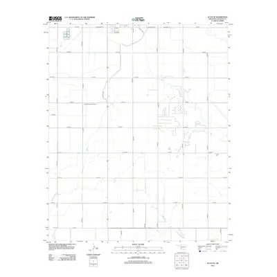
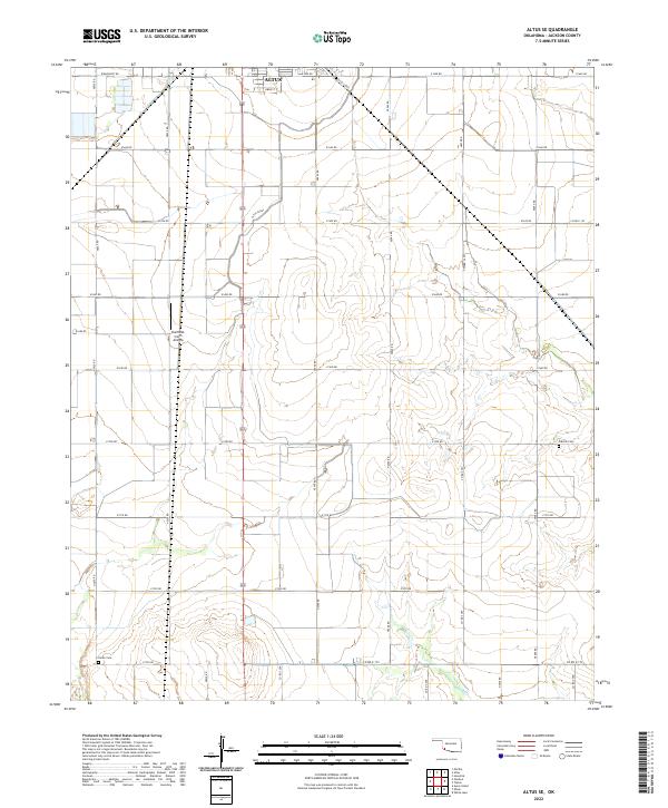
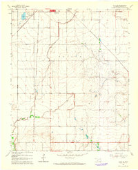 1963 Altus SE1965 Print · USGSJackson County agriculture meets burgeoning rail infrastructure in the early sixties south of Altus. Genealogists can locate Elmer Cem and Francis Cem near the Atchison Topeka and Santa Fe tracks.2 unique versions available
 - 1964 Map of Altus, 1965 Print
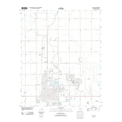
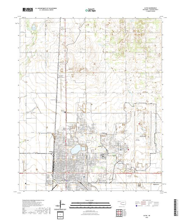
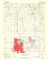 1964 Altus1965 Print · USGSJackson County in the mid-sixties serves as a vital military and railroad junction, anchored by the expansion of the regional seat. Genealogists and historians can locate legacy sites like Restlawn Memorial Park, the Jr College, and the sprawling Altus Air Force Base.2 unique versions available
 - 1985 Map of Altus
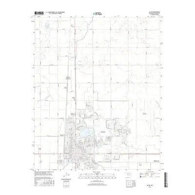
 1985 Altus1985 Print · USGSSouthwestern Oklahoma in the mid-eighties shows a vast agricultural and military landscape shaped by the Red River forks. Trace the intersections of the Atchison Topeka and Santa Fe railroad with rural points like Fairmount Cem and Duke.2 unique versions available
 - 2010 Map of Altus, 2010 Print
 2010 Altus2010 Print · USGSCovers Altus, including Welon, Hightower, and other nearby areas
 - 2010 Map of Altus SE, 2010 Print
 2010 Altus SE2010 Print · USGSCovers Altus, including Jackson County, United States, and other nearby areas
 - 2012 Map of Altus SE, 2012 Print
 2012 Altus SE2012 Print · USGSCovers Altus, including Jackson County, United States, and other nearby areas
 - 2012 Map of Altus, 2012 Print
 2012 Altus2012 Print · USGSCovers Altus, including Welon, Hightower, and other nearby areas
 - 2016 Map of Altus, 2016 Print
 2016 Altus2016 Print · USGSCovers Altus, including Welon, Hightower, and other nearby areas
 - 2016 Map of Altus SE, 2016 Print
 2016 Altus SE2016 Print · USGSCovers Altus, including Jackson County, United States, and other nearby areas
 - 2018 Map of Altus, 2018 Print
 2018 Altus2018 Print · USGSCovers Altus, including Welon, Hightower, and other nearby areas
 - 2018 Map of Altus SE, 2018 Print
 2018 Altus SE2018 Print · USGSCovers Altus, including Jackson County, United States, and other nearby areas
 - 2022 Map of Altus SE, 2022 Print
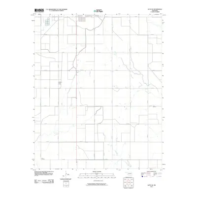
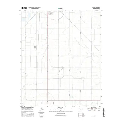
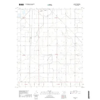
 2022 Altus SE2022 Print · USGSJackson County agriculture and irrigation infrastructure take center stage south of the city in the early 2020s. Researchers can locate family burial sites at Francis Cem and Elmer Cem or trace the path of the Altus Canal.
 - 2022 Map of Altus, 2022 Print
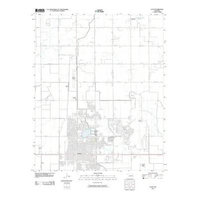
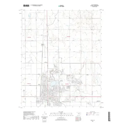
 2022 Altus2022 Print · USGSAltus and the surrounding Jackson County plains are shown here in the early twenty-first century as a major regional aviation and civic center. Researchers can trace the development of Altus Air Force Base or locate local landmarks like the Jackson County Courthouse and Altus Cem.
End of results
Showing maps 1-14 of 14
Top cities near Altus
- Mangum historical maps
- Tipton historical maps
- Blair historical maps
- Olustee historical maps
- Martha historical maps
- Headrick historical maps
See more
Top neighborhoods of Altus
Frequently asked questions
- What are the different types of historical maps available for Altus?
- What is the oldest map of Altus?
- Where can I purchase historical maps of Altus for my home or office?
- Where can I download high-res historical maps of Altus?
- Are there historical topographic maps available for Altus?
- Is there historical aerial imagery available for Altus?
- Where are historical maps of Altus sourced from?