2020s Maps of Jefferson County, Oklahoma
Explore 24 historic maps of Jefferson County from the 2020s. These maps offer a rare glimpse into what life looked like during the 2020s — showing old roads, neighborhoods, homes, and landmarks that have changed or disappeared over time.
Whether you're researching your family's past, planning a metal detecting trip, or studying how Jefferson County's landscape evolved across the 2020s, these high-resolution maps are a powerful tool for exploring the history of this region.
- Focus on a specific era: All maps on this page are from the 2020s, giving you a focused view of this time period.
- See what’s changed: Compare century-old streets, trails, and buildings to today's modern landscape using overlays and satellite layers.
- Research with precision: Use these maps for genealogy, historical research, land use analysis, or educational projects.
- View, download, or print: Maps are fully viewable online in high resolution, and can be downloaded or printed for your own records.
Start exploring Jefferson County's history through authentic maps from the 2020s. This is your window into the past.
Jefferson County, OK maps
(24)- 2022 Map of Ryan NE, 2022 Print
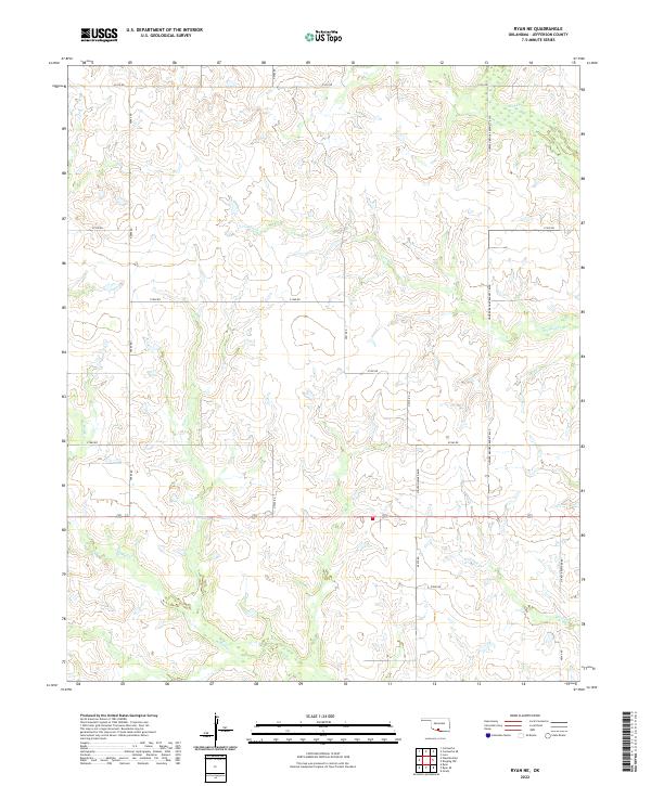 2022 Ryan NE2022 Print · USGSJefferson County’s rural landscape is captured here in the early twenty-first century, showing a region defined by agricultural sections and seasonal creek beds. Researchers can trace local lineage through family-named routes like Howard Brooks Bennett Blvd or follow the paths of Mud Cr and Post Oak Cr.
 - 2022 Map of Ryan, 2022 Print
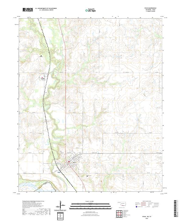 2022 Ryan2022 Print · USGSJefferson County, Oklahoma, at the Texas border is defined by its prairie creeks and the established towns of the early twenty-first century. Genealogists and local historians can trace family roots at the Ryan Cemetery or explore the smaller community of Sugden near Beaver Creek.
 - 2022 Map of Grady, 2022 Print
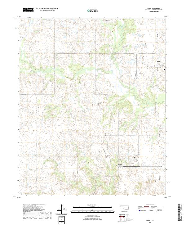 2022 Grady2022 Print · USGSJefferson County's southern prairie comes into focus in this recent survey of the rural landscape near the Red River. Researchers can trace local lineage through the Grady Cem and Atlee Cem or follow the waters of Mud Cr and Baker Cr.
 - 2022 Map of Waurika East, 2022 Print
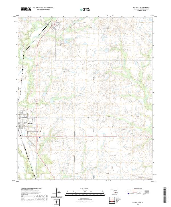 2022 Waurika East2022 Print · USGSJefferson County ranching and water management define this area south of Addington in the early twenty-first century. Researchers can trace family-named landmarks like Youree Ranch Rd and Stuart Ranch Rd or locate ancestors at Addington Cem.
 - 2022 Map of Ringling, 2022 Print
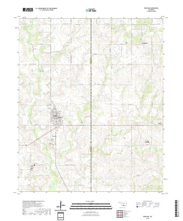 2022 Ringling2022 Print · USGSThe crossroads of Ringling and Cornish are captured here in the early twenty-first century, surrounded by a dense network of family-named roads and oil-industry paths. Researchers can locate local landmarks like Cornish Cem, Cobalt Junction, and the winding Post Oak Cr.
 - 2022 Map of Ringling NW, 2022 Print
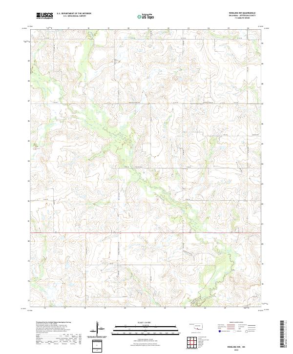 2022 Ringling NW2022 Print · USGSJefferson County’s rural landscape remains centered on its winding waterways and ranching heritage in the early twenty-first century. Genealogists and local researchers can trace family-named routes such as O W Fulsom Rd, Ted Tripp Blvd, and Murphy Ranch Rd.
 - 2022 Map of Cottonwood Creek, 2022 Print
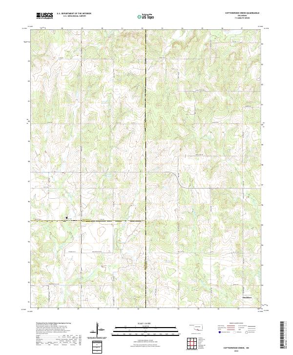 2022 Cottonwood Creek2022 Print · USGSSouthern Oklahoma's three-county borderlands near the city of Healdton are detailed here in the early twenty-first century. Researchers can trace rural cemeteries and local landmarks including Dixie Cem, Whisky Cr, and the uniquely named Convict Hill Rd.
 - 2022 Map of Comanche SE, 2022 Print
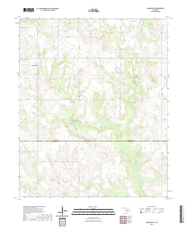 2022 Comanche SE2022 Print · USGSNear the border of Stephens and Jefferson counties in the early twenty-first century, this landscape shows the intersection of town life and prairie ranching. Genealogists and local historians can locate Woolsey Cem and trace the paths of Mud Cr and Deer Cr across the regional grid.
 - 2022 Map of Loco, 2022 Print
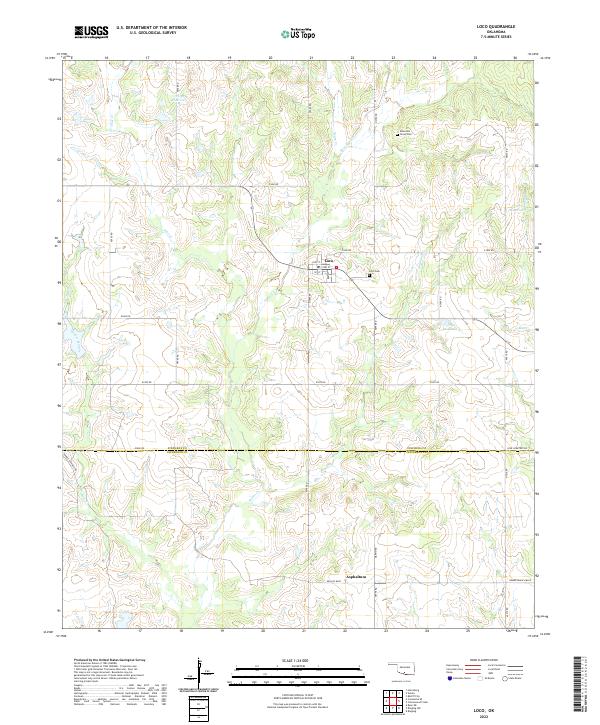 2022 Loco2022 Print · USGSLoco and the surrounding ranch lands are shown in high detail during the early 2020s at the border of Stephens and Jefferson counties. Researchers can pinpoint Loco Cemetery, Mountain Grove Cemetery, and the local drainage basins of Pine Creek and Mountain Creek.
 - 2022 Map of Ryan SE, 2022 Print
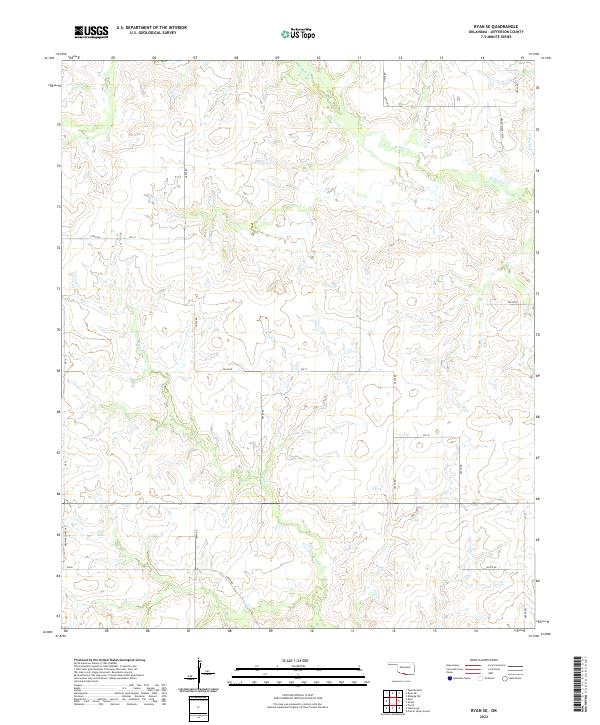 2022 Ryan SE2022 Print · USGSJefferson County ranch lands and section-line roads are documented here in the early twenty-first century. Genealogists and local historians can trace family-named landmarks and rural routes like Ernest Dickey Blvd, Browns Chapel Rd, and Red Cr.
 - 2022 Map of Orr, 2022 Print
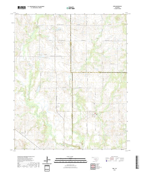 2022 Orr2022 Print · USGSThe tri-county borderlands of Jefferson, Carter, and Love Counties are documented here in the early twenty-first century. Local historians can trace the rural layout of Orr, locate the Orr Cem, and follow the drainages of Mud Cr and Clear Cr.
 - 2022 Map of Fleetwood, 2022 Print
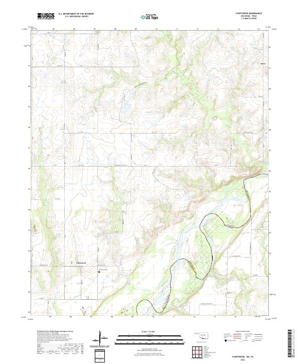 2022 Fleetwood2022 Print · USGSThe riverfront communities of Fleetwood and Oscar sit along the Oklahoma-Texas border in the early 2020s. Researchers can trace local history through the Fleetwood Cemetery and follow the paths of Red River Station Rd and the Red River.
 - 2022 Map of Terral, 2022 Print
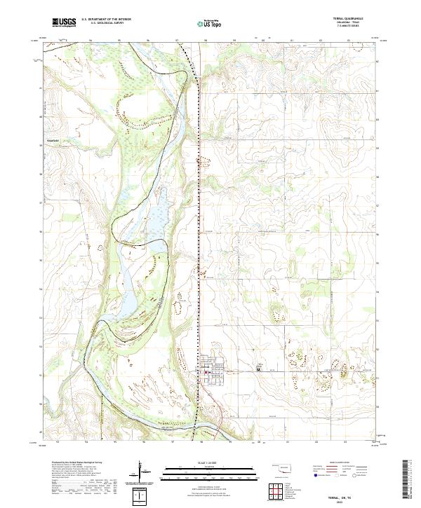 2022 Terral2022 Print · USGSThe Oklahoma-Texas border comes alive in this modern survey of the Red River valley. Genealogists and local historians can trace the town site of Terral and locate the Terral Cem, or explore the Texas side near Stanfield and Little Pecan Cr.
 - 2022 Map of Irving, 2022 Print
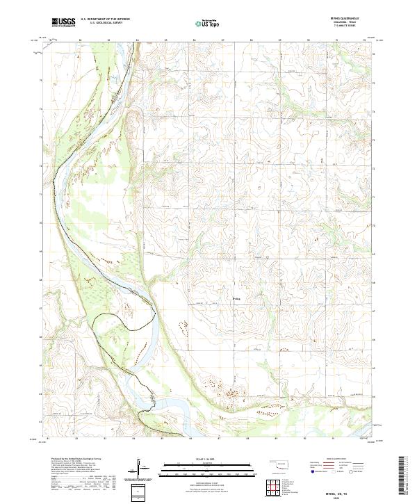 2022 Irving2022 Print · USGSThe Red River shoreline and the rural settlement of Irving define this Jefferson County borderlands area in the 2020s. Researchers can trace the river's path along the Texas border and locate local landmarks like Burrus Rd and F Schaffner Rd.
 - 2022 Map of Hooper, 2022 Print
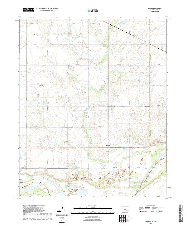 2022 Hooper2022 Print · USGSThe Oklahoma-Texas border along the Red River is captured here during the early twenty-first century. Researchers can trace the rural landscape around Hooper and follow the path of Whiskey Cr through the heart of Cotton County.
 - 2022 Map of Comanche, 2022 Print
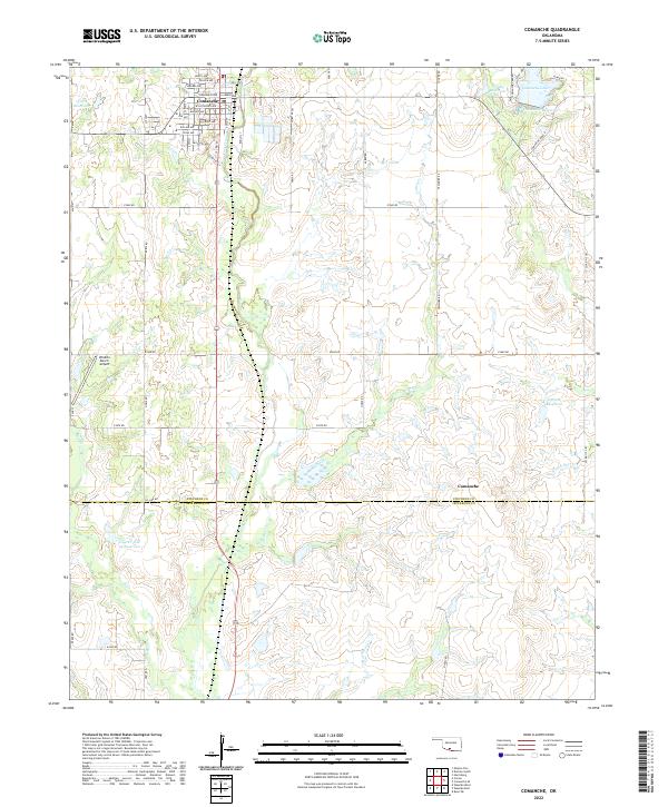 2022 Comanche2022 Print · USGSThe township of Comanche is shown in detail during the early 2020s, highlighting its grid of named streets and regional water resources. Genealogists and local historians can trace family land near Comanche Lake, the Wildlife Ranch Airport, or along Cow Creek.
 - 2022 Map of Waurika West, 2022 Print
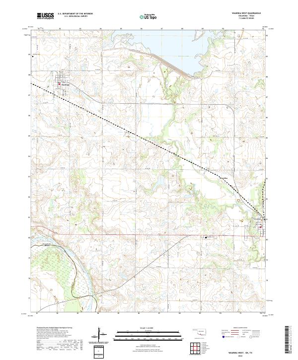 2022 Waurika West2022 Print · USGSSouthern Oklahoma meets the Texas border along the Red River in this detailed 2022 survey of Jefferson County. Genealogists can locate Hastings Cem and the Jefferson County Courthouse, while water history is recorded at Waurika Lake and Beaver Cr.
 - 2022 Map of Temple, 2022 Print
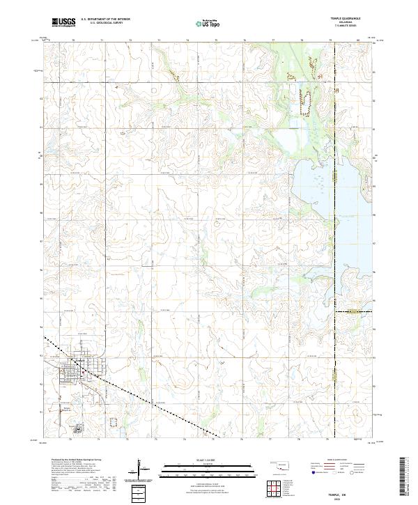 2022 Temple2022 Print · USGSTemple and the surrounding plains of Cotton County are captured here just as the modern reservoir system defines the eastern landscape. Genealogists and local historians can trace the town’s grid from W Main St to the Temple Cem, while following the original courses of Beaver Creek and Whiskey Cr.
 - 2022 Map of Corum, 2022 Print
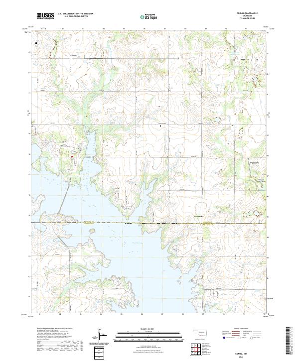 2022 Corum2022 Print · USGSStephens and Jefferson Counties are captured here in the early 2020s as the waters of Waurika Lake shape the local geography. Researchers can find family landmarks like Corum Cemetery and Diamond Cemetery or trace aviation sites like KSA Orchards Airport.
 - 2022 Map of Spanish Fort, 2022 Print
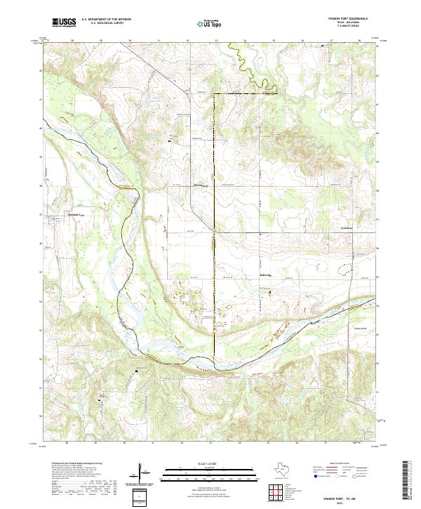 2022 Spanish Fort2022 Print · USGSThe Red River border between Texas and Oklahoma comes into focus here, showing the rural landscape around Spanish Fort. Family historians can trace local roots through numerous landmarks like Petersburg Cem, Mayfield Cem, and Illinois Bend.
 - 2022 Map of Belcherville, 2022 Print
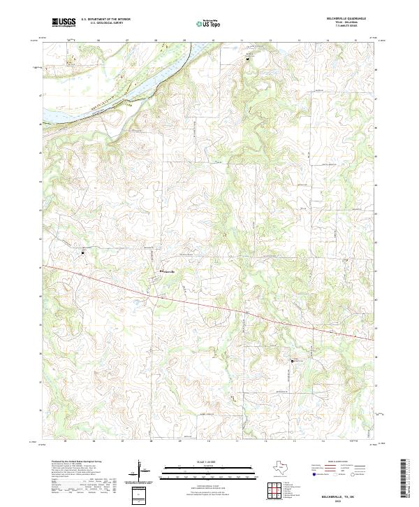 2022 Belcherville2022 Print · USGSMontague County, Texas, is mapped here as it appeared in the early 2020s, showing a landscape defined by the Red River and rural history. Researchers can locate historic sites such as Red River Station Cem, the settlement of Belcherville, and the waters of Club Lake.
 - 2022 Map of Ringgold, 2022 Print
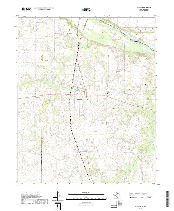 2022 Ringgold2022 Print · USGSMontague County's northern border comes into focus in the 2020s, centered on the historic crossroads at Ringgold. Researchers can trace local lineage through several sites including Ringgold Cem and Boren Cem or follow the path of Beaver Cr to the Red River.
 - 2022 Map of Prairie Valley School, 2022 Print
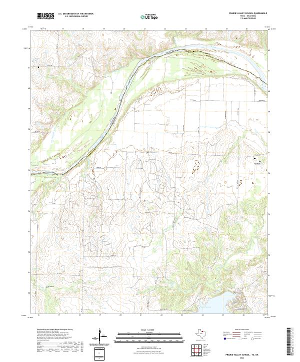 2022 Prairie Valley School2022 Print · USGSMontague County and the Oklahoma border are documented here in 2022, where the river plain meets the edge of the Cross Timbers. Researchers can locate significant burial sites like Old Spanish Fork Cem or trace the drainage of Wolf Hollow toward Lake Nocona.
 - 2022 Map of Riverland Cemetery, 2022 Print
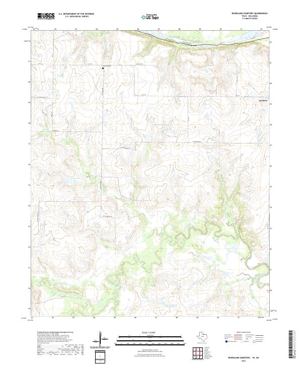 2022 Riverland Cemetery2022 Print · USGSThis rural portion of Clay County, Texas, sits along the Oklahoma border where the winding Little Wichita River meets the Red River. Genealogists and local researchers can locate the Riverland Cem and trace old family-named routes like Jim Maddox Rd and Macon Boddy Rd.
End of results
Showing maps 1-24 of 24
Top cities of Jefferson County
- Waurika historical maps
- Ringling historical maps
- Ryan historical maps
- Terral historical maps
- Cornish historical maps
- Hastings historical maps
See more
Frequently asked questions
- What are the different types of historical maps available for Jefferson County?
- What is the oldest map of Jefferson County?
- Where can I purchase historical maps of Jefferson County for my home or office?
- Where can I download high-res historical maps of Jefferson County?
- Are there historical topographic maps available for Jefferson County?
- Is there historical aerial imagery available for Jefferson County?
- Where are historical maps of Jefferson County sourced from?