Old Maps of Irving, Oklahoma for Academic Research
Study the evolution of Irving with 9 high-resolution historic maps. Whether you're teaching, researching, or modeling changes in land use, these maps provide essential visual documentation of urban, environmental, and geographic change.
- Analyze long-term change: Track patterns in development, transportation, and natural features.
- Ideal for environmental or urban studies: Support academic projects with primary historical map data.
- Use in the classroom or lab: Educators and researchers rely on these maps to bring historical context to life.
These maps are a powerful tool for teaching, research, and visualizing how Irving has changed over the decades.
Irving, OK maps
(9)- 1955 Map of Lawton, 1958 Print
 1955 Lawton1958 Print · USGSSouthwestern Oklahoma and North Texas are shown here in the mid-fifties, dominated by the Wichita Mountains and the vital Red River watershed. Genealogists and historians can trace the foundations of Lawton alongside rural landmarks like Rainy Mountain Church and Pleasant Hill School.5 unique versions available
 - 1957 Map of Hastings
 1957 Hastings1957 Print · USGSThe Red River frontier in the mid-fifties shows a landscape defined by the Chicago Rock Island and Pacific railroad and the booming oil industry. Genealogists and historians can trace family locations near Hastings, Byers, and the Petrolia Oil Field.2 unique versions available
 - 1984 Map of Irving, 1985 Print
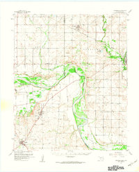
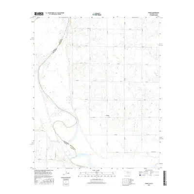
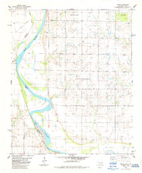 1984 Irving1985 Print · USGSThe Red River valley along the Oklahoma-Texas border is captured here in the early eighties as it flows through Jefferson County. Genealogists and local historians can trace the rural communities of Irving and Keele or explore the terrain of Bour Land and Patterson.
 - 1985 Map of Burkburnett, 1986 Print
 1985 Burkburnett1986 Print · USGSThe Red River valley and North Texas oil fields are captured here in the mid-eighties, showing the vital connection between military hubs and rail towns. Researchers can trace the path of the Missouri Kansas Texas railroad through Burkburnett or locate Waurika Lake and Sheppard Air Force Base.2 unique versions available
 - 2010 Map of Irving, 2010 Print
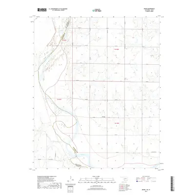
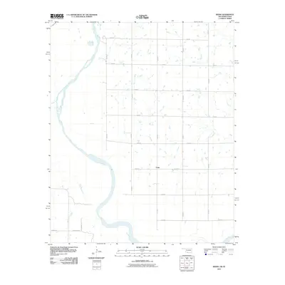 2010 Irving2010 Print · USGSCovers Irving, including Jefferson County, Clay County, and other nearby areas
 - 2012 Map of Irving, 2012 Print
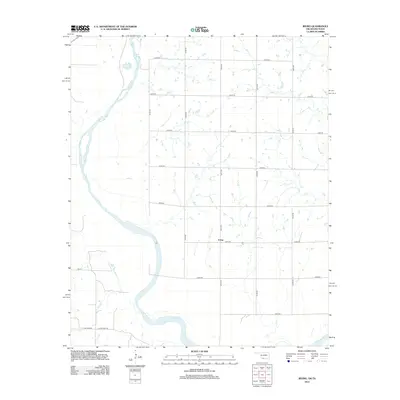 2012 Irving2012 Print · USGSCovers Irving, including Jefferson County, Clay County, and other nearby areas
 - 2016 Map of Irving, 2016 Print
 2016 Irving2016 Print · USGSCovers Irving, including Jefferson County, Clay County, and other nearby areas
 - 2019 Map of Irving, 2019 Print
 2019 Irving2019 Print · USGSCovers Irving, including Jefferson County, Clay County, and other nearby areas
 - 2022 Map of Irving, 2022 Print
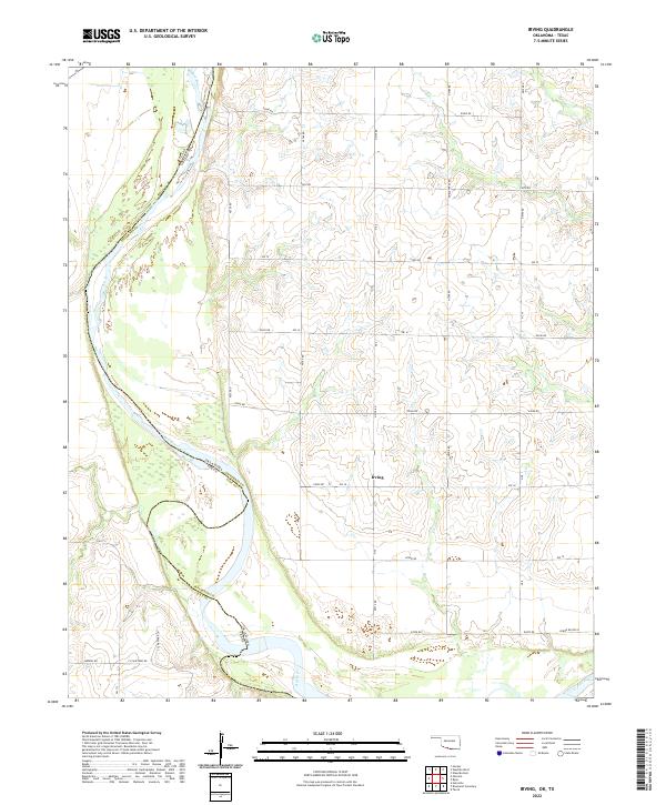 2022 Irving2022 Print · USGSThe Red River shoreline and the rural settlement of Irving define this Jefferson County borderlands area in the 2020s. Researchers can trace the river's path along the Texas border and locate local landmarks like Burrus Rd and F Schaffner Rd.
End of results
Showing maps 1-9 of 9
Top cities near Irving
- Henrietta historical maps
- Waurika historical maps
- Temple historical maps
- Ryan historical maps
- Petrolia historical maps
- Byers historical maps
See more
Frequently asked questions
- What are the different types of historical maps available for Irving?
- What is the oldest map of Irving?
- Where can I purchase historical maps of Irving for my home or office?
- Where can I download high-res historical maps of Irving?
- Are there historical topographic maps available for Irving?
- Is there historical aerial imagery available for Irving?
- Where are historical maps of Irving sourced from?