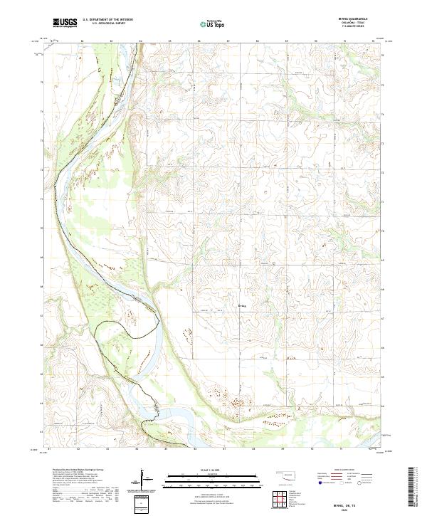
2022 Map of Irving
USGS Topo · Published 2022About this map
The Red River carves a winding path along the border of Oklahoma and Texas, defining the southwestern corner of Jefferson County. The small settlement of Irving sits on the upland plains above the river valley, where a grid of section roads like E2040 Rd and Ew 18 organizes the agricultural landscape. This survey documents the modern rural layout in the 2020s, characterized by expansive ranch lands and river bottom topography. Family names and local history are reflected in the transport network, with routes such as Burrus Rd, F Schaffner Rd, and L Schaffner Ln providing access to the river's edge. The sharp bend of the Red River near the border with Clay County creates a distinct terrain of sandbars and low-lying wetlands that contrast with the organized township lines of t6s r8w and t5s r9w.
Find a feature on this map
26 named features on this map. Tap any name to fly to it.
Don’t see what you’re looking for? This feature index may not catch every label — zoom into the map to look around manually.
Map Details
Editions of this 2022 Irving Map
This is the sole edition of this map. No revisions or reprints were ever made.
Other maps of this area

1901 · Addington
USGS Topo · 1:125,000

1905 · Montague
USGS Topo · 1:125,000

1954 · Sherman
USGS Topo · 1:250,000

1954 · Wichita Falls
USGS Topo · 1:250,000

1955 · Lawton
USGS Topo · 1:250,000

1956 · Henrietta
USGS Topo · 1:62,500

1957 · Hastings
USGS Topo · 1:62,500

1957 · Ardmore
USGS Topo · 1:250,000

1958 · Wichita Falls
USGS Topo · 1:250,000

1958 · Sherman
USGS Topo · 1:250,000