Old Maps of Newkirk, Oklahoma for Academic Research
Study the evolution of Newkirk with 15 high-resolution historic maps. Whether you're teaching, researching, or modeling changes in land use, these maps provide essential visual documentation of urban, environmental, and geographic change.
- Analyze long-term change: Track patterns in development, transportation, and natural features.
- Ideal for environmental or urban studies: Support academic projects with primary historical map data.
- Use in the classroom or lab: Educators and researchers rely on these maps to bring historical context to life.
These maps are a powerful tool for teaching, research, and visualizing how Newkirk has changed over the decades.
Newkirk, OK maps
(15)- 1955 Map of Enid, 1966 Print
 1955 Enid1966 Print · USGSNorth-central Oklahoma's transition from open plains to the blackjack hills of the Osage Indian Reservation is captured in the mid-1950s. Researchers can trace the development of the Naval Reserve Oil Field, the grounds of Vance AFB, and the early footprints of Tulsa and Stillwater.4 unique versions available
 - 1958 Map of Enid
 1958 Enid1958 Print · USGSNorthern Oklahoma is mapped here in the late fifties, showcasing a dense network of petroleum production and historic tribal lands. Researchers can trace the legacy of the Osage Indian Reservation, early energy hubs like the Cushing Oil Field, and the Chilocco Indian Agricultural School.2 unique versions available
 - 1968 Map of Newkirk, 1970 Print
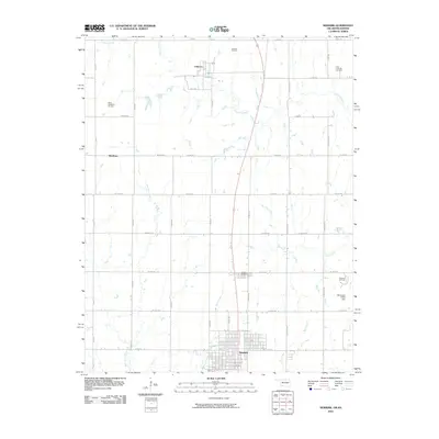
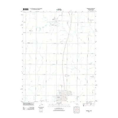
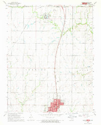 1968 Newkirk1970 Print · USGSKay County at the close of the 1960s shows a landscape defined by the state border and heavy rail infrastructure. Genealogists can trace family footprints at Newkirk Cemetery, the Home for the Aged, and the extensive Chilocco Indian School campus.2 unique versions available
 - 1968 Map of Kildare, 1970 Print
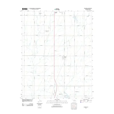
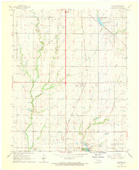 1968 Kildare1970 Print · USGSKay County in the late sixties reveals a landscape shaped by petroleum production and the rail corridor. Researchers can trace the Northwest Kildare Oil and Gas Field and locate landmarks like Pleasant View Sch and Wolf Creek Cem.2 unique versions available
 - 1985 Map of Ponca City
 1985 Ponca City1985 Print · USGSNorth-central Oklahoma during the mid-eighties shows a landscape shaped by petroleum and heavy rail. Trace the paths of the Atchison Topeka and Santa Fe through Ponca City or find local landmarks like Northern Oklahoma Junior College and Old Bliss.3 unique versions available
 - 2010 Map of Kildare, 2010 Print
 2010 Kildare2010 Print · USGSCovers Newkirk, including Ponca City, Kildare, and other nearby areas
 - 2010 Map of Newkirk, 2010 Print
 2010 Newkirk2010 Print · USGSCovers Newkirk, including Middleton, Chilocco, and other nearby areas
 - 2012 Map of Kildare, 2012 Print
 2012 Kildare2012 Print · USGSCovers Newkirk, including Ponca City, Kildare, and other nearby areas
 - 2012 Map of Newkirk, 2012 Print
 2012 Newkirk2012 Print · USGSCovers Newkirk, including Middleton, Chilocco, and other nearby areas
 - 2016 Map of Kildare, 2016 Print
 2016 Kildare2016 Print · USGSCovers Newkirk, including Ponca City, Kildare, and other nearby areas
 - 2016 Map of Newkirk, 2016 Print
 2016 Newkirk2016 Print · USGSCovers Newkirk, including Middleton, Chilocco, and other nearby areas
 - 2018 Map of Newkirk, 2018 Print
 2018 Newkirk2018 Print · USGSCovers Newkirk, including Middleton, Chilocco, and other nearby areas
 - 2018 Map of Kildare, 2018 Print
 2018 Kildare2018 Print · USGSCovers Newkirk, including Ponca City, Kildare, and other nearby areas
 - 2022 Map of Newkirk, 2022 Print
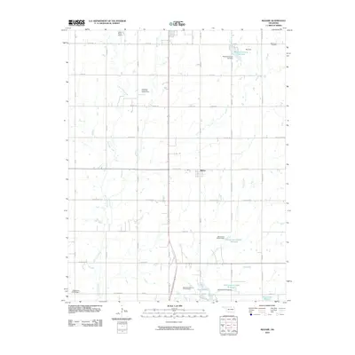
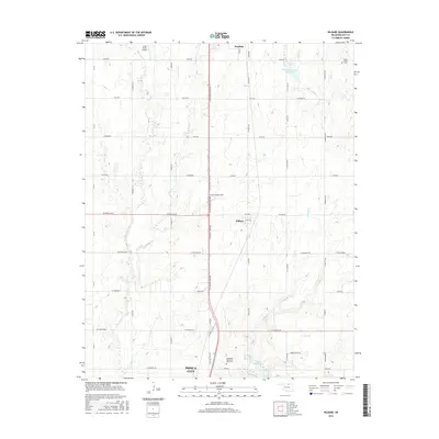
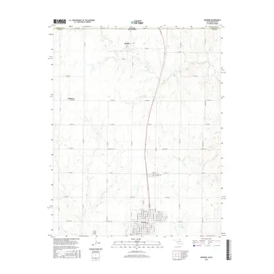
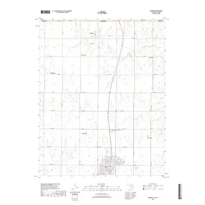
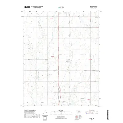
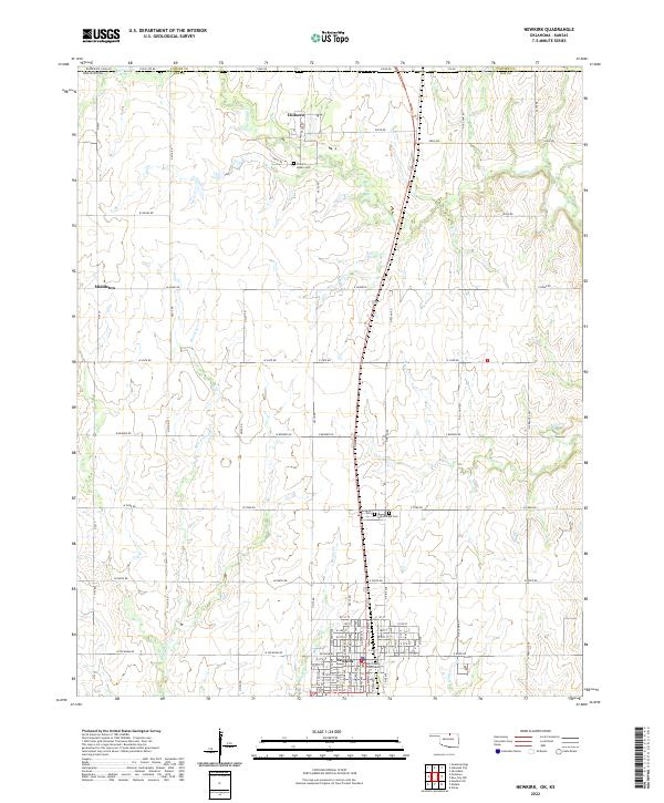 2022 Newkirk2022 Print · USGSNewkirk and the Oklahoma-Kansas borderlands are shown here in the early 2020s, revealing a landscape of organized agriculture and civic history. Researchers can locate the Kay County Courthouse and several family-important sites like the Chilocco Indian Cemetery and Washunga Cemetery.
 - 2022 Map of Kildare, 2022 Print
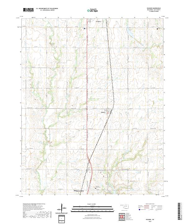 2022 Kildare2022 Print · USGSNorthern Oklahoma's prairie landscape unfolds north of Ponca City during the early 2020s. Researchers can locate family sites near the town of Kildare or trace the courses of Bois d'Arc Cr and Turkey Cr.
End of results
Showing maps 1-15 of 15
Top cities near Newkirk
- Ponca City historical maps
- Arkansas City historical maps
- Blackwell historical maps
- Kaw City historical maps
- Parkerfield historical maps
- Silverdale historical maps
See more
Frequently asked questions
- What are the different types of historical maps available for Newkirk?
- What is the oldest map of Newkirk?
- Where can I purchase historical maps of Newkirk for my home or office?
- Where can I download high-res historical maps of Newkirk?
- Are there historical topographic maps available for Newkirk?
- Is there historical aerial imagery available for Newkirk?
- Where are historical maps of Newkirk sourced from?