Old Maps of Cambridge, Oklahoma for Academic Research
Study the evolution of Cambridge with 10 high-resolution historic maps. Whether you're teaching, researching, or modeling changes in land use, these maps provide essential visual documentation of urban, environmental, and geographic change.
- Analyze long-term change: Track patterns in development, transportation, and natural features.
- Ideal for environmental or urban studies: Support academic projects with primary historical map data.
- Use in the classroom or lab: Educators and researchers rely on these maps to bring historical context to life.
These maps are a powerful tool for teaching, research, and visualizing how Cambridge has changed over the decades.
Cambridge, OK maps
(10)- 1955 Map of Clinton, 1964 Print
 1955 Clinton1964 Print · USGSWestern Oklahoma during the mid-century transition shows a landscape of growing reservoirs and active military flight lines. Genealogists and historians can locate rural landmarks such as Mountain View Church, Berlin School, and the Riverside Indian School Reserve.3 unique versions available
 - 1957 Map of Clinton
 1957 Clinton1957 Print · USGSWestern Oklahoma in the mid-fifties is captured here as a landscape of river-valley settlements and emerging energy fields. Genealogists can trace family roots through numerous rural landmarks like the Swapping Back Indian School, Hebron Church, and the Riverside Indian School Reserve.
 - 1961 Map of Hobart, 1962 Print
 1961 Hobart1962 Print · USGSKiowa and Washita counties are shown here in the early 1960s as a bustling junction of major rail lines and rural agricultural life. Researchers can trace family history through sites like Huckaby Cem, Sentinel High Sch, and the Oil Field.2 unique versions available
 - 1984 Map of Cambridge, 1985 Print
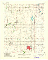
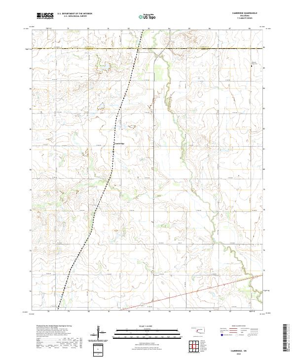
 1984 Cambridge1985 Print · USGSWestern Oklahoma’s prairie landscape is captured in the mid-1980s, centered on the rural intersection of Cambridge. You can trace the path of the Atchison Topeka and Santa Fe railroad or locate local landmarks like Pleasant Ridge Cem.
 - 1985 Map of Elk City
 1985 Elk City1985 Print · USGSWestern Oklahoma in the 1980s is defined by its railroad junctions, emerging aviation hubs, and the winding North Fork Red River. Genealogists and local historians can trace the foundations of Sayre and Elk City, alongside landmarks like Clinton-Sherman Airport and Quartz Mountain State Park.2 unique versions available
 - 2010 Map of Cambridge, 2010 Print
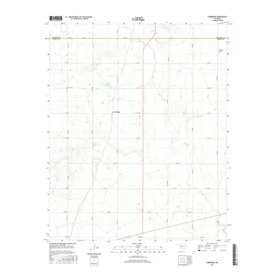
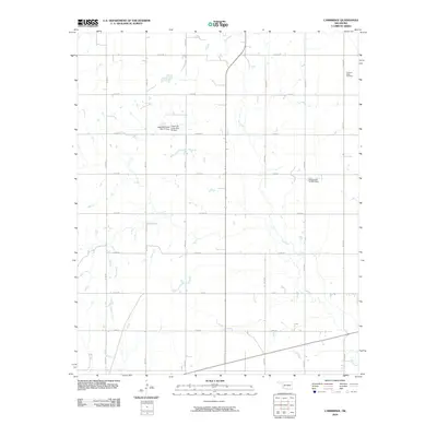 2010 Cambridge2010 Print · USGSCovers Cambridge, including Kiowa County, Washita County, and other nearby areas
 - 2012 Map of Cambridge, 2012 Print
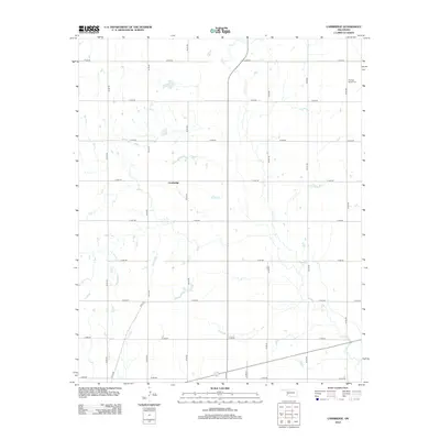 2012 Cambridge2012 Print · USGSCovers Cambridge, including Kiowa County, Washita County, and other nearby areas
 - 2016 Map of Cambridge, 2016 Print
 2016 Cambridge2016 Print · USGSCovers Cambridge, including Kiowa County, Washita County, and other nearby areas
 - 2018 Map of Cambridge, 2018 Print
 2018 Cambridge2018 Print · USGSCovers Cambridge, including Kiowa County, Washita County, and other nearby areas
 - 2022 Map of Cambridge, 2022 Print
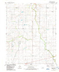
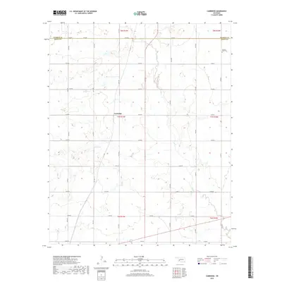
 2022 Cambridge2022 Print · USGSOklahoma's southwestern plains are captured in this modern survey of the Kiowa and Washita county line. Researchers can trace the drainage of Elk Cr as it winds past the settlement of Cambridge, following the section-line roads of the agricultural grid.
End of results
Showing maps 1-10 of 10
Top cities near Cambridge
- Elk City historical maps
- Hobart historical maps
- New Cordell historical maps
- Granite historical maps
- Sentinel historical maps
- Dill City historical maps
See more
Frequently asked questions
- What are the different types of historical maps available for Cambridge?
- What is the oldest map of Cambridge?
- Where can I purchase historical maps of Cambridge for my home or office?
- Where can I download high-res historical maps of Cambridge?
- Are there historical topographic maps available for Cambridge?
- Is there historical aerial imagery available for Cambridge?
- Where are historical maps of Cambridge sourced from?