Old Maps of Lone Wolf, Oklahoma for Hiking & Exploration
Hike through history with 14 historic maps of Lone Wolf. Explore old trails, ghost towns, and forgotten backroads — perfect for outdoor adventurers and local explorers.
- Rediscover forgotten places: Map out old mining camps, roads, and footpaths that no longer exist on modern maps.
- Layer with modern tools: Combine with LiDAR or satellite views to plan hikes through historical terrain.
- Made for exploration: Popular among hikers, overlanders, and local history lovers.
Use these maps to find adventure and explore the hidden past of Lone Wolf.
Lone Wolf, OK maps
(14)- 1955 Map of Lawton, 1958 Print
 1955 Lawton1958 Print · USGSSouthwestern Oklahoma and North Texas are shown here in the mid-fifties, dominated by the Wichita Mountains and the vital Red River watershed. Genealogists and historians can trace the foundations of Lawton alongside rural landmarks like Rainy Mountain Church and Pleasant Hill School.5 unique versions available
 - 1964 Map of Lone Wolf, 1965 Print
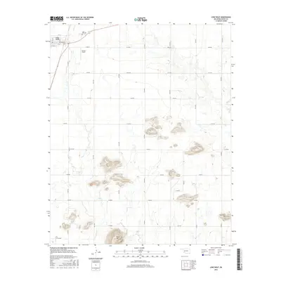
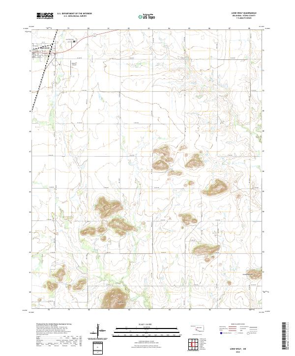
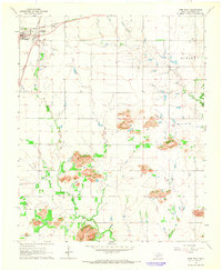 1964 Lone Wolf1965 Print · USGSLone Wolf and the surrounding Kiowa County landscape are captured here in the mid-1960s at a peak of rail-driven connectivity. Genealogists and local historians can trace the intersection of two major railroads and locate rural landmarks like Mt Tepee Ch, Bartons Store, and the Hohman Landing Strip.2 unique versions available
 - 1971 Map of Lake Altus, 1973 Print
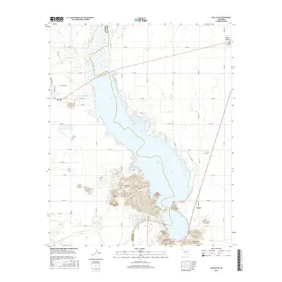
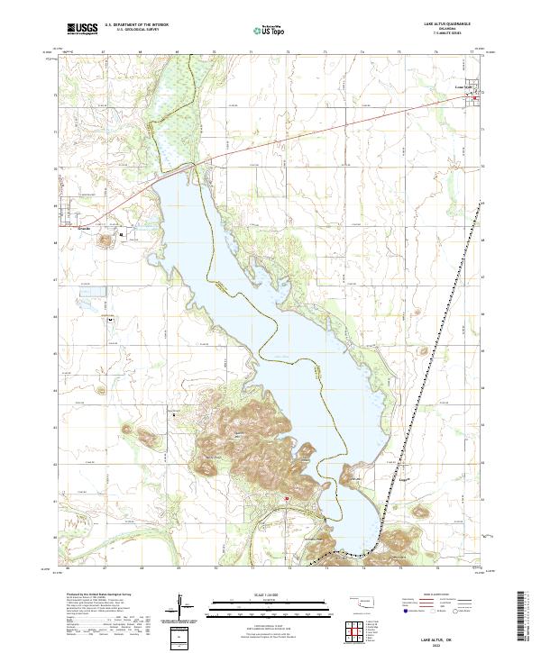
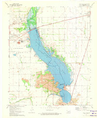 1971 Lake Altus1973 Print · USGSSouthwestern Oklahoma's landscape was defined by massive water projects and rugged granite peaks in the early 1970s. Trace the lakefront of Quartz Mountain Lake, the rails of the Atchison Topeka and Santa Fe, and the townsite of Lugert.
 - 1985 Map of Altus
 1985 Altus1985 Print · USGSSouthwestern Oklahoma in the mid-eighties shows a vast agricultural and military landscape shaped by the Red River forks. Trace the intersections of the Atchison Topeka and Santa Fe railroad with rural points like Fairmount Cem and Duke.2 unique versions available
 - 2010 Map of Lake Altus, 2010 Print
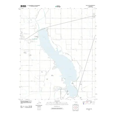 2010 Lake Altus2010 Print · USGSCovers Lone Wolf, including Granite, Lugert, and other nearby areas
 - 2010 Map of Lone Wolf, 2010 Print
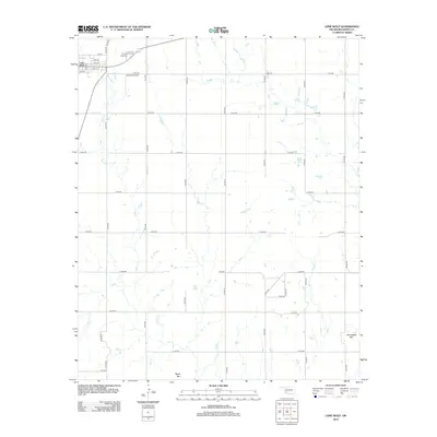
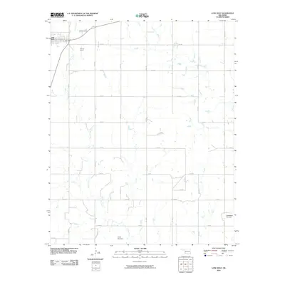 2010 Lone Wolf2010 Print · USGSCovers Lone Wolf, including Kiowa County, United States, and other nearby areas
 - 2012 Map of Lone Wolf, 2012 Print
 2012 Lone Wolf2012 Print · USGSCovers Lone Wolf, including Kiowa County, United States, and other nearby areas
 - 2012 Map of Lake Altus, 2012 Print
 2012 Lake Altus2012 Print · USGSCovers Lone Wolf, including Granite, Lugert, and other nearby areas
 - 2016 Map of Lone Wolf, 2016 Print
 2016 Lone Wolf2016 Print · USGSCovers Lone Wolf, including Kiowa County, United States, and other nearby areas
 - 2016 Map of Lake Altus, 2016 Print
 2016 Lake Altus2016 Print · USGSCovers Lone Wolf, including Granite, Lugert, and other nearby areas
 - 2018 Map of Lake Altus, 2018 Print
 2018 Lake Altus2018 Print · USGSCovers Lone Wolf, including Granite, Lugert, and other nearby areas
 - 2018 Map of Lone Wolf, 2018 Print
 2018 Lone Wolf2018 Print · USGSCovers Lone Wolf, including Kiowa County, United States, and other nearby areas
 - 2022 Map of Lone Wolf, 2022 Print
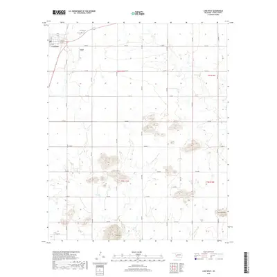
 2022 Lone Wolf2022 Print · USGSLone Wolf and the surrounding Kiowa County plains appear here in the early twenty-first century, showing a landscape defined by isolated peaks and grid roads. Genealogists and local historians can locate Lone Wolf Cem, Hohman Airport, and the distinct heights of Tepee Mtn.
 - 2022 Map of Lake Altus, 2022 Print
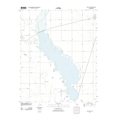
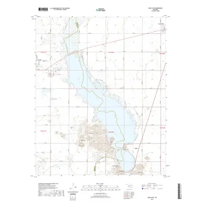
 2022 Lake Altus2022 Print · USGSWestern Oklahoma’s granite peaks and reservoirs are captured here in the early twenty-first century. Genealogists and local historians can trace the sites of Granite, Lone Wolf, and Lugert, alongside landmarks like Quartz Cem and King Mtn.
End of results
Showing maps 1-14 of 14
Top cities near Lone Wolf
- Hobart historical maps
- Granite historical maps
- Sentinel historical maps
- Blair historical maps
- Roosevelt historical maps
- Rocky historical maps
Frequently asked questions
- What are the different types of historical maps available for Lone Wolf?
- What is the oldest map of Lone Wolf?
- Where can I purchase historical maps of Lone Wolf for my home or office?
- Where can I download high-res historical maps of Lone Wolf?
- Are there historical topographic maps available for Lone Wolf?
- Is there historical aerial imagery available for Lone Wolf?
- Where are historical maps of Lone Wolf sourced from?