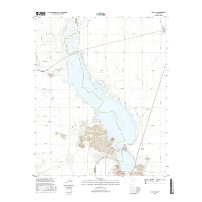
2016 Map of Lake Altus
USGS Topo · Published 2016About this map
Lake Altus dominates this landscape on the boundary of Greer and Kiowa counties, where the high desert terrain meets significant water resources. The town of Granite sits on the western edge of the quadrangle, notably home to the State of Oklahoma Reformatory Lake. This area is defined by the sharp transition from the flat plains of southwest Oklahoma to the sudden elevation of the Wichita Mountains, represented here by Quartz Mountain, Baldy Point, and Williams Peak.
Find a feature on this map
55 named features on this map. Tap any name to fly to it.
Don’t see what you’re looking for? This feature index may not catch every label — zoom into the map to look around manually.
Map Details
Editions of this 2016 Lake Altus Map
This is the sole edition of this map. No revisions or reprints were ever made.
Other maps of this area

1955 · Lawton
USGS Topo · 1:250,000

1955 · Clinton
USGS Topo · 1:250,000

1957 · Clinton
USGS Topo · 1:250,000

1961 · Hobart
USGS Topo · 1:62,500

1961 · Retrop
USGS Topo · 1:62,500

1964 · Lone Wolf
USGS Topo · 1:24,000

1964 · Warren
USGS Topo · 1:24,000

1971 · Blair
USGS Topo · 1:24,000

1971 · Granite
USGS Topo · 1:24,000

1971 · Hester
USGS Topo · 1:24,000