Old Maps of Poteau, Oklahoma for Metal Detecting
Plan your next treasure hunt with 53 historic maps of Poteau. Find old homesites, ghost towns, trails, and gathering spots that may be lost to time — perfect for identifying promising metal detecting locations.
- Locate forgotten sites: Uncover places like long-lost settlements, abandoned rail lines, or gathering spots.
- Plan better hunts: Use map overlays combined with LiDAR or satellite views to narrow in on historically rich areas.
- Made for detectorists: Thousands of hobbyists use these maps to discover relics, coins, and hidden history.
Use these historic maps to boost your research and find new opportunities beneath the surface of Poteau.
Poteau, OK maps
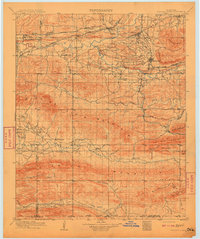
(53)- 1900 Map of Sallisaw
 1900 Sallisaw1900 Print · USGSThe Cherokee and Choctaw Nations are divided by the winding Arkansas River at the turn of the century. Genealogists can trace early tribal-era settlements like Bokoshe, Tamaha, and Oak Lodge along the routes of the Kansas City Southern R. R.2 unique versions available
 - 1900 Map of Winding Stair
 1900 Winding Stair1900 Print · USGSThe Choctaw Nation at the turn of the century shows a frontier landscape shaped by the Ouachita Mountains and new rail lines. Genealogists can locate early settlements like Summerfield and Heavener or trace the Woods Trail across the Kiamichi Mountain range.2 unique versions available
 - 1909 Map of Winding Stair
 1909 Winding Stair1909 Print · USGSSoutheastern Oklahoma’s early statehood era is defined here by the intersection of major rail corridors and high mountain ridges. Researchers can trace the development of transit hubs like Heavener and Wister, or locate remote valley settlements such as Whitesboro and Muse.4 unique versions available
 - 1911 Map of Sallisaw
 1911 Sallisaw1911 Print · USGSEastern Oklahoma at the turn of the century was a land of expanding railroads and ancient river crossings along the Arkansas River. Genealogists and historians can trace the early settlement of the region through dozens of landmarks like Foreman Ferry, McCurtain, and the Badger Lee School.3 unique versions available
 - 1946 Map of Fort Smith
 1946 Fort Smith1946 Print · USGSThe Arkansas-Oklahoma borderlands appear here in the mid-forties, as new reservoirs began to transform the river valleys. Genealogists and historians can trace rail-served towns from Muskogee to Fort Smith and locate landmarks like Camp Chaffee.
 - 1950 Map of Mcalester
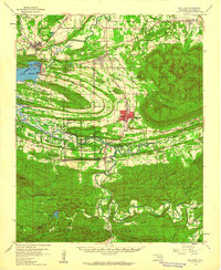
 1950 Mcalester1950 Print · USGSThe Ouachita Mountains and the coal country of Southeast Oklahoma are shown here in the late 1940s. Genealogists and historians can trace the rail-driven growth of McAlester, Wilburton, and Antlers alongside the rugged terrain of Kiamichi Mountain.2 unique versions available
 - 1959 Map of Heavener, 1960 Print
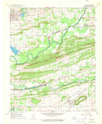
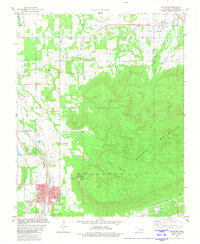
 1959 Heavener1960 Print · USGSEastern Oklahoma's Poteau River valley appears here during a period of transition, where established rail hubs meet the newly formed waters of Lake Wister. You can trace early township life through sites like Hodgens, the Springhill Cem, and the tracks of the Chicago Rock Island and Pacific RR.2 unique versions available
 - 1962 Map of McAlester
 1962 McAlester1962 Print · USGSSoutheastern Oklahoma and western Arkansas are shown here during the early sixties, a time of transition for the region's mountain communities and timberlands. Researchers can trace the paths of the Kansas City Southern RR through Heavener or locate settlements like Talihina and Broken Bow near the Kiamichi Mountains.2 unique versions available
 - 1965 Map of Fort Smith
 1965 Fort Smith1965 Print · USGSEastern Oklahoma and Western Arkansas are captured here during a period of massive post-war change as new reservoirs reshaped the river valleys. Genealogists and historians can trace the rail networks of the Midland Valley RR and find established communities like Stilwell, Sallisaw, and Stigler.
 - 1965 Map of McAlester
 1965 McAlester1965 Print · USGSSoutheastern Oklahoma and western Arkansas appear here in the mid-1960s, showing the intersection of the timber industry and the growing reservoir system. Genealogists can trace family roots through settlements like Antlers, Idabel, and Kiowa or follow the historic routes of the Kansas City Southern Ry.3 unique versions available
 - 1967 Map of Fort Smith
 1967 Fort Smith1967 Print · USGSThe Arkansas River valley and the foothills of the Ozarks are captured here during a period of significant military and industrial activity. Researchers can trace the sprawling bounds of Camp Chaffee and Camp Gruber or locate vanished rail stops along the Midland Valley RR.
 - 1968 Map of Spiro, 1969 Print
 1968 Spiro1969 Print · USGSLe Flore County at the end of the 1960s shows a landscape defined by the Poteau River and the industrial activity of the regional coalfields. Researchers can trace the legacy of old Skullyville and locate rural landmarks like the French Cem and Royal Oak Ch.2 unique versions available
 - 1968 Map of Panama, 1969 Print
 1968 Panama1969 Print · USGSLe Flore County at the end of the 1960s shows a landscape of coal mining and river navigation along the Poteau River. Researchers can trace genealogies through Nubbin Ridge Cemetery or locate industrial sites like the many Strip Mines and the Kansas City Southern rail line.
 - 1968 Map of Poteau East, 1969 Print
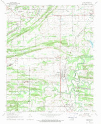
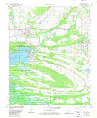
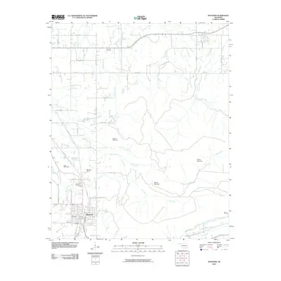
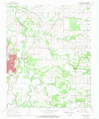 1968 Poteau East1969 Print · USGSLe Flore County at the end of the 1960s shows a landscape where industrial transit and river geography define the local character. Genealogists and historians can trace the street layouts of Poteau or locate rural sites like McMurtrey and Double Branch Ch.3 unique versions available
 - 1968 Map of Poteau West, 1969 Print
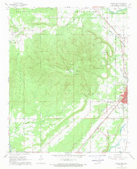 1968 Poteau West1969 Print · USGSLe Flore County in the late 1960s is defined by the massive rise of Cavanal Mountain above a landscape of active strip mining and emerging college life. Genealogists and local historians can trace rural settlements like Witteville and Calhoun alongside the rail lines of the Kansas City Southern.3 unique versions available
 - 1977 Map of Poteau East
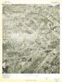
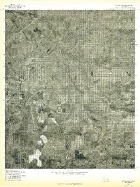 1977 Poteau East1977 Print · USGSEastern Oklahoma in the late seventies is captured in this detailed aerial perspective, showing the valley where the river meets the plains. Local historians can trace the winding Poteau River and the rural layout of Gilmore and Poteau.
 - 1977 Map of Panama
 1977 Panama1977 Print · USGSEastern Oklahoma in the late 1970s reveals a landscape defined by the winding Poteau River and established rural townships. Genealogists and local historians can trace property and settlement patterns in Panama, Shady Point, and along the slopes of Nubbin Ridge.
 - 1977 Map of Poteau West
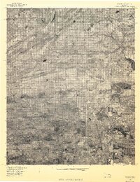
 1977 Poteau West1977 Print · USGSEastern Oklahoma's landscape is captured during the late seventies, centered on the prominent heights west of the county seat. Genealogists and local historians can trace the rural layouts of Calhoun, Witteville, and Smacker near the Poteau River.
 - 1978 Map of Fort Smith, 1979 Print
 1978 Fort Smith1979 Print · USGSThe Arkansas-Oklahoma borderlands in the late seventies show a landscape shaped by massive river reservoirs and sprawling military reservations. Trace the historic rail lines of the Missouri Pacific RR and locate regional landmarks like Fort Gibson, Tenkiller Ferry Lake, and Barling.2 unique versions available
 - 1978 Map of Fort Smith, 1979 Print
 1978 Fort Smith1979 Print · USGSThe Arkansas-Oklahoma borderlands in the late seventies show a region defined by river navigation, coal mining, and military expansion. You can trace industrial footprints like the Strip Mines and the vast Fort Chaffee Military Reservation.2 unique versions available
 - 1981 Map of Heavener
 1981 Heavener1981 Print · USGSLe Flore County's eastern ridges and rail corridors are showcased here in the early 1980s. Genealogists and local historians can trace family locations through Oakdale Cem, Springhill Cem, and landmarks like Runestone State Park.
 - 1981 Map of Wister
 1981 Wister1981 Print · USGSLe Flore County in the early eighties shows a landscape shaped by the Poteau River and the expanding state park system. Genealogists can trace several remote burial sites, including Billy Cem and Hoteuby Cem, alongside the rail lines of the Burlington Northern.
 - 1989 Map of Mena, 1991 Print
 1989 Mena1991 Print · USGSThe Ouachita and Kiamichi mountains define this borderland region in the late 1980s. Local historians can trace the Kansas City Southern RR corridor from Mena through settlements like Heavener and past the waters of Wister Lake.
 - 2010 Map of Panama, 2010 Print
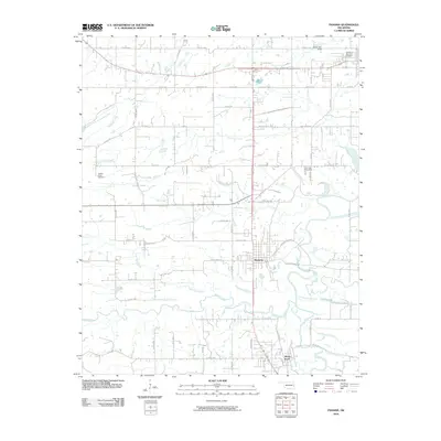 2010 Panama2010 Print · USGSCovers Poteau, including Spiro, Panama, and other nearby areas
 - 2010 Map of Heavener, 2010 Print
 2010 Heavener2010 Print · USGSCovers Poteau, including Heavener, Monroe, and other nearby areas
Showing maps 1-25 of 53
Top cities near Poteau
- Fort Smith historical maps
- Pocola historical maps
- Heavener historical maps
- Spiro historical maps
- Panama historical maps
- Wister historical maps
See more
Frequently asked questions
- What are the different types of historical maps available for Poteau?
- What is the oldest map of Poteau?
- Where can I purchase historical maps of Poteau for my home or office?
- Where can I download high-res historical maps of Poteau?
- Are there historical topographic maps available for Poteau?
- Is there historical aerial imagery available for Poteau?
- Where are historical maps of Poteau sourced from?