Old Maps of Kendrick, Oklahoma for Academic Research
Study the evolution of Kendrick with 11 high-resolution historic maps. Whether you're teaching, researching, or modeling changes in land use, these maps provide essential visual documentation of urban, environmental, and geographic change.
- Analyze long-term change: Track patterns in development, transportation, and natural features.
- Ideal for environmental or urban studies: Support academic projects with primary historical map data.
- Use in the classroom or lab: Educators and researchers rely on these maps to bring historical context to life.
These maps are a powerful tool for teaching, research, and visualizing how Kendrick has changed over the decades.
Kendrick, OK maps
(11)- 1908 Map of Agra
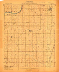 1908 Agra1908 Print · USGSAs the Oklahoma Territory transitioned into statehood, this area was a bustling network of new rail lines and rural school districts. Researchers can trace early township developments and family-centric landmarks like Free Silver School, the riverside stop at Cottingham, or the junction at Agra.3 unique versions available
 - 1954 Map of Oklahoma City
 1954 Oklahoma City1954 Print · USGSOklahoma City and its surrounding counties are captured here in the early fifties during a period of significant postwar growth. Researchers can trace the development of the Turner Turnpike and locate aviation hubs like Tinker Field or Will Rogers Field.
 - 1957 Map of Oklahoma City, 1969 Print
 1957 Oklahoma City1969 Print · USGSCentral Oklahoma is captured here in a period of significant mid-century growth and industrialization. Researchers can trace family roots through numerous rural markers like Memory Lane Cem, New Hope School, and the sprawling grounds of Tinker Air Force Base.3 unique versions available
 - 1963 Map of Oklahoma City
 1963 Oklahoma City1963 Print · USGSCentral Oklahoma in the early sixties showcases a landscape of rapid suburban growth and established oil production. Researchers can trace historic rail lines like the Chicago Rock Island and Pacific RR or locate rural landmarks such as Mayflower School and Bethel Church.
 - 1975 Map of Kendrick, 1979 Print
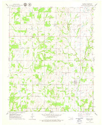 1975 Kendrick1979 Print · USGSCentral Oklahoma's oil-rich landscape comes into focus during the 1970s between the settlements of Parkland and Kendrick. Researchers can trace the petroleum industry at the Refinery and Oil Field or locate family roots at Bethel Cem and Kendrick Cem.
 - 1990 Map of Bristow
 1990 Bristow1990 Print · USGSCentral Oklahoma's township and range grid is on full display in the 1990s, anchored by the crossroads at Bristow and Sapulpa. Researchers can trace old community lines and regional landmarks from Heyburn Reservoir to the historic streets of Boley.
 - 2010 Map of Kendrick, 2010 Print
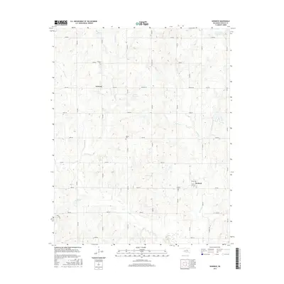
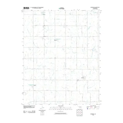 2010 Kendrick2010 Print · USGSCovers Kendrick, including Parkland, Lincoln County, and other nearby areas
 - 2012 Map of Kendrick, 2012 Print
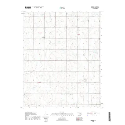
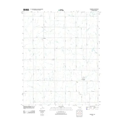 2012 Kendrick2012 Print · USGSCovers Kendrick, including Parkland, Lincoln County, and other nearby areas
 - 2016 Map of Kendrick, 2016 Print
 2016 Kendrick2016 Print · USGSCovers Kendrick, including Parkland, Lincoln County, and other nearby areas
 - 2018 Map of Kendrick, 2018 Print
 2018 Kendrick2018 Print · USGSCovers Kendrick, including Parkland, Lincoln County, and other nearby areas
 - 2022 Map of Kendrick, 2022 Print
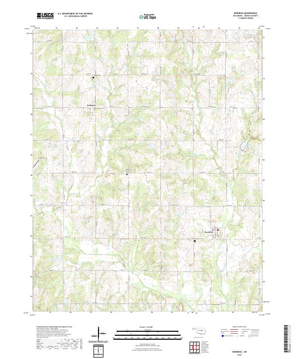 2022 Kendrick2022 Print · USGSLincoln County at the start of the 2020s remains a landscape of quiet section-line roads and family cemeteries. Genealogists can trace local heritage through the Parkland Cem and Kendrick Cem, or follow the winding courses of Ranch Cr and Spring Cr.
End of results
Showing maps 1-11 of 11
Top cities near Kendrick
- Cushing historical maps
- Chandler historical maps
- Drumright historical maps
- Davenport historical maps
- Carney historical maps
- Tryon historical maps
See more
Frequently asked questions
- What are the different types of historical maps available for Kendrick?
- What is the oldest map of Kendrick?
- Where can I purchase historical maps of Kendrick for my home or office?
- Where can I download high-res historical maps of Kendrick?
- Are there historical topographic maps available for Kendrick?
- Is there historical aerial imagery available for Kendrick?
- Where are historical maps of Kendrick sourced from?