Old Maps of Maud, Oklahoma for Hiking & Exploration
Hike through history with 19 historic maps of Maud. Explore old trails, ghost towns, and forgotten backroads — perfect for outdoor adventurers and local explorers.
- Rediscover forgotten places: Map out old mining camps, roads, and footpaths that no longer exist on modern maps.
- Layer with modern tools: Combine with LiDAR or satellite views to plan hikes through historical terrain.
- Made for exploration: Popular among hikers, overlanders, and local history lovers.
Use these maps to find adventure and explore the hidden past of Maud.
Maud, OK maps
(19)- 1896 Map of Seminole and Prague
 1896 Seminole and Prague1896 Print · USGSOklahoma Territory and tribal nations meet in the mid-1890s along the North Fork Canadian River. Researchers can trace early tribal boundaries and find vanished locations like Mekosukey, Heliswa, and the Seminole Creek Nation Boundary.
 - 1907 Map of Maud, 1957 Print
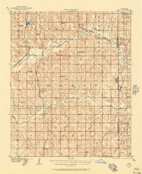 1907 Maud1957 Print · USGSPottawatomie County at the dawn of statehood shows a landscape of emerging rail towns and scattered country schoolhouses. Researchers can trace the early footprints of Maud and Pearson or locate family landmarks like Sacred Heart P O Georgetown and New Paradise School.
 - 1908 Map of Maud
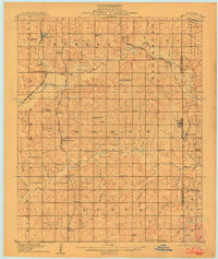 1908 Maud1908 Print · USGSCentral Oklahoma at the time of statehood shows a landscape of emerging rail towns and rural school districts. Genealogists can trace family roots through sites like Sacred Heart P.O. and Maud, or find vanished schoolhouses such as New Paradise School and Antioch Schools.3 unique versions available
 - 1954 Map of Oklahoma City
 1954 Oklahoma City1954 Print · USGSOklahoma City and its surrounding counties are captured here in the early fifties during a period of significant postwar growth. Researchers can trace the development of the Turner Turnpike and locate aviation hubs like Tinker Field or Will Rogers Field.
 - 1957 Map of Oklahoma City, 1969 Print
 1957 Oklahoma City1969 Print · USGSCentral Oklahoma is captured here in a period of significant mid-century growth and industrialization. Researchers can trace family roots through numerous rural markers like Memory Lane Cem, New Hope School, and the sprawling grounds of Tinker Air Force Base.3 unique versions available
 - 1963 Map of Oklahoma City
 1963 Oklahoma City1963 Print · USGSCentral Oklahoma in the early sixties showcases a landscape of rapid suburban growth and established oil production. Researchers can trace historic rail lines like the Chicago Rock Island and Pacific RR or locate rural landmarks such as Mayflower School and Bethel Church.
 - 1972 Map of Maud, 1974 Print
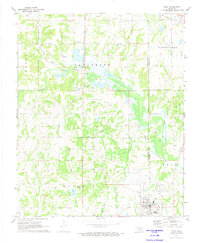 1972 Maud1974 Print · USGSThe Oklahoma oil patch near Maud is captured here in the early seventies as the petroleum and rail economy shaped the border between Pottawatomie and Seminole counties. Researchers can trace the Old Indian Treaty Boundary and locate family burial sites at Union Cems and Fairview Cem.
 - 1972 Map of St. Louis, 1974 Print
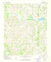 1972 St. Louis1974 Print · USGSCentral Oklahoma's petroleum landscape is captured here in the early seventies, spanning the border of Pottawatomie and Seminole counties. Trace the extensive St Louis Oil Field and find historic sites like Sacred Heart and Collins Cem.2 unique versions available
 - 1985 Map of Shawnee
 1985 Shawnee1985 Print · USGSCentral Oklahoma in the mid-eighties shows a landscape shaped by the North Canadian River and a maturing highway network. Trace family roots and old rail lines through Holdenville, Seminole, and the grounds of St Gregory College.2 unique versions available
 - 2009 Map of Saint Louis, 2009 Print
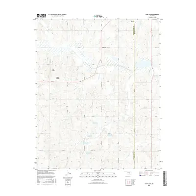
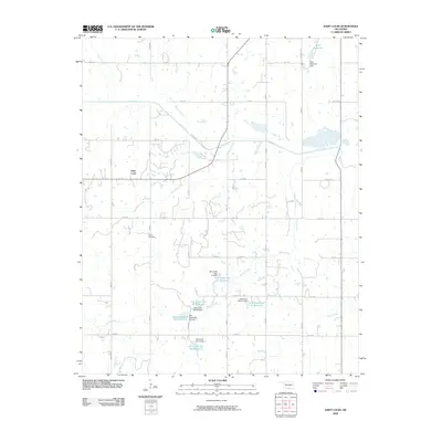 2009 Saint Louis2009 Print · USGSCovers Maud, including Saint Louis, Sacred Heart, and other nearby areas
 - 2010 Map of Maud, 2010 Print
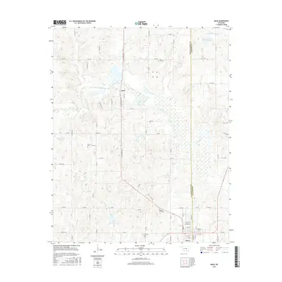
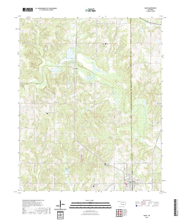
 2010 Maud2010 Print · USGSCovers Maud, including Harjo, Pottawatomie County, and other nearby areas
 - 2012 Map of Saint Louis, 2012 Print
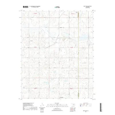
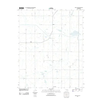 2012 Saint Louis2012 Print · USGSCovers Maud, including Saint Louis, Sacred Heart, and other nearby areas
 - 2012 Map of Maud, 2012 Print
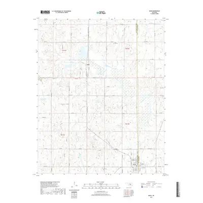
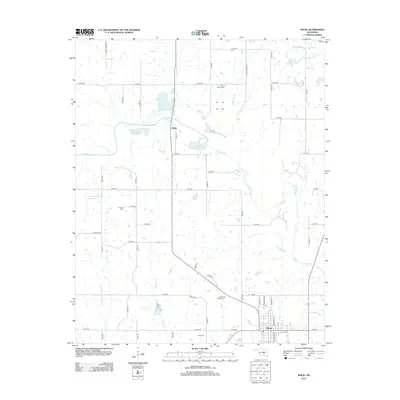 2012 Maud2012 Print · USGSCovers Maud, including Harjo, Pottawatomie County, and other nearby areas
 - 2016 Map of Maud, 2016 Print
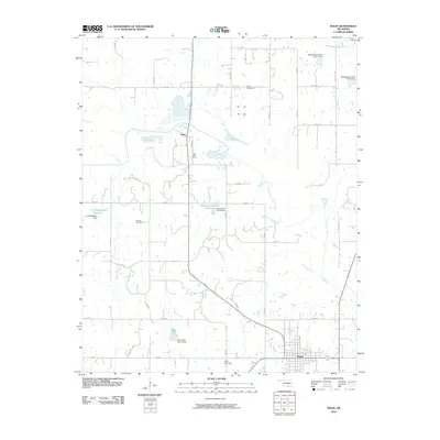
 2016 Maud2016 Print · USGSCovers Maud, including Harjo, Pottawatomie County, and other nearby areas
 - 2016 Map of Saint Louis, 2016 Print
 2016 Saint Louis2016 Print · USGSCovers Maud, including Saint Louis, Sacred Heart, and other nearby areas
 - 2018 Map of Maud, 2018 Print
 2018 Maud2018 Print · USGSCovers Maud, including Harjo, Pottawatomie County, and other nearby areas
 - 2018 Map of Saint Louis, 2018 Print
 2018 Saint Louis2018 Print · USGSCovers Maud, including Saint Louis, Sacred Heart, and other nearby areas
 - 2022 Map of Saint Louis, 2022 Print
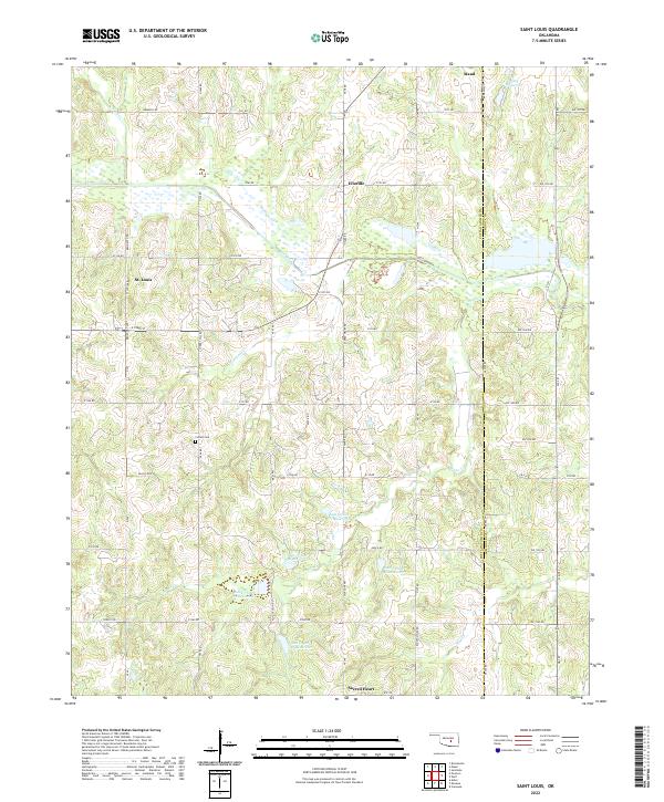 2022 Saint Louis2022 Print · USGSPottawatomie and Seminole Counties are shown here during the early twenty-first century, featuring a landscape of managed watersheds and small rural communities. Local historians can trace the boundary lines between Maud and Sacred Heart or locate landmarks like Collins Cem and the Katy Reservoir.
 - 2022 Map of Maud, 2022 Print
 2022 Maud2022 Print · USGSThe borderlands of Pottawatomie and Seminole Counties are captured here in the early twenty-first century, centered on the historic town of Maud. Genealogists and researchers can trace the many rural burial sites such as Dripping Springs Cem and Fairview Cem or explore the drainage of the Little River.
End of results
Showing maps 1-19 of 19
Top cities near Maud
- Shawnee historical maps
- Seminole historical maps
- Tecumseh historical maps
- Bethel Acres historical maps
- Konawa historical maps
- Earlsboro historical maps
See more
Frequently asked questions
- What are the different types of historical maps available for Maud?
- What is the oldest map of Maud?
- Where can I purchase historical maps of Maud for my home or office?
- Where can I download high-res historical maps of Maud?
- Are there historical topographic maps available for Maud?
- Is there historical aerial imagery available for Maud?
- Where are historical maps of Maud sourced from?