Old Maps of Adair, Oklahoma for Academic Research
Study the evolution of Adair with 18 high-resolution historic maps. Whether you're teaching, researching, or modeling changes in land use, these maps provide essential visual documentation of urban, environmental, and geographic change.
- Analyze long-term change: Track patterns in development, transportation, and natural features.
- Ideal for environmental or urban studies: Support academic projects with primary historical map data.
- Use in the classroom or lab: Educators and researchers rely on these maps to bring historical context to life.
These maps are a powerful tool for teaching, research, and visualizing how Adair has changed over the decades.
Adair, OK maps
(18)- 1896 Map of Pryor, 1963 Print
 1896 Pryor1963 Print · USGSThe Cherokee Nation comes into focus during the late nineteenth century as railroads began to transform the Indian Territory landscape. Genealogists and historians can trace essential river crossings like Sixkiller Ferry and Adams Ford or locate early settlements such as Bushyhead and Mazie.
 - 1901 Map of Pryor
 1901 Pryor1901 Print · USGSIndian Territory at the turn of the century shows a landscape transitioning from tribal lands to a rail-connected frontier. Genealogists and historians can trace early river crossings like Markham Ferry and Dirteater Ford alongside frontier settlements like Choteau and Bushyhead.5 unique versions available
 - 1954 Map of Tulsa
 1954 Tulsa1954 Print · USGSNortheast Oklahoma and the Ozark border are shown here during a period of massive industrial and infrastructure growth. Researchers can trace the legacy of the Tri-State Mining District and the development of major reservoirs like Grand Lake O' The Cherokees.2 unique versions available
 - 1958 Map of Tulsa, 1968 Print
 1958 Tulsa1968 Print · USGSNortheast Oklahoma and the Ozark borderlands are captured here during a massive era of reservoir construction and highway expansion. Researchers can trace the mid-century footprints of Tulsa, the sprawling Lake O' the Cherokees, and historical sites like Pea Ridge National Military Park.3 unique versions available
 - 1963 Map of Tulsa
 1963 Tulsa1963 Print · USGSThe Oklahoma and Arkansas borderlands are shown here in the early sixties, a time of massive reservoir construction and heavy mining. Genealogists can trace family roots through settlements like Nowata, Pryor, and Jay, or locate historical zinc and lead mines and coal mines.
 - 1969 Map of Adair, 1971 Print
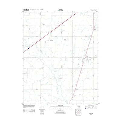
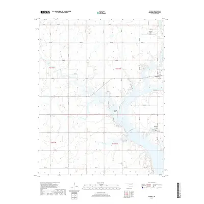
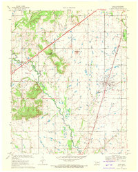 1969 Adair1971 Print · USGSMayes County at the end of the sixties shows a landscape of prairie hills and growing transit corridors. Genealogists and local historians can trace the community through Adair, Pleasant Hope Ch, and the landmark Jesse James Hill.
 - 1971 Map of Strang, 1973 Print
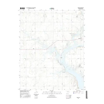
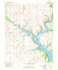 1971 Strang1973 Print · USGSMayes County settlement and the Neosho River watershed are captured here in the early seventies during the era of Lake Hudson. Genealogists and local historians can trace rural family roots at Ghormley Cem and Benge Cem or locate the Old Railroad Grade near Strang.
 - 1985 Map of Tulsa
 1985 Tulsa1985 Print · USGSNortheastern Oklahoma in the mid-eighties shows a landscape shaped by massive reservoirs and a bustling transportation network. Researchers can trace the path of the Will Rogers Turnpike or locate local landmarks like Mohawk Park and Oologah Lake.2 unique versions available
 - 2010 Map of Adair, 2010 Print
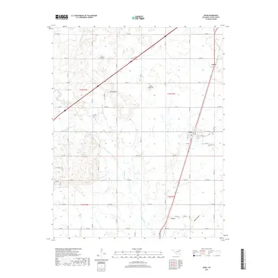
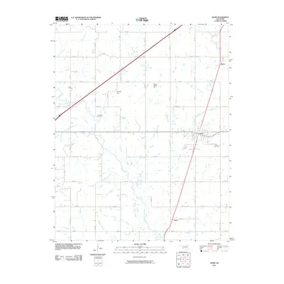 2010 Adair2010 Print · USGSCovers Adair, including Patton, Green, and other nearby areas
 - 2010 Map of Strang, 2010 Print
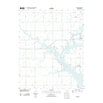
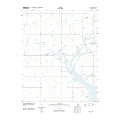 2010 Strang2010 Print · USGSCovers Adair, including Strang, Pensacola, and other nearby areas
 - 2012 Map of Strang, 2012 Print
 2012 Strang2012 Print · USGSCovers Adair, including Strang, Pensacola, and other nearby areas
 - 2012 Map of Adair, 2012 Print
 2012 Adair2012 Print · USGSCovers Adair, including Patton, Green, and other nearby areas
 - 2016 Map of Strang, 2016 Print
 2016 Strang2016 Print · USGSCovers Adair, including Strang, Pensacola, and other nearby areas
 - 2016 Map of Adair, 2016 Print
 2016 Adair2016 Print · USGSCovers Adair, including Patton, Green, and other nearby areas
 - 2019 Map of Strang, 2019 Print
 2019 Strang2019 Print · USGSCovers Adair, including Strang, Pensacola, and other nearby areas
 - 2019 Map of Adair, 2019 Print
 2019 Adair2019 Print · USGSCovers Adair, including Patton, Green, and other nearby areas
 - 2022 Map of Strang, 2022 Print
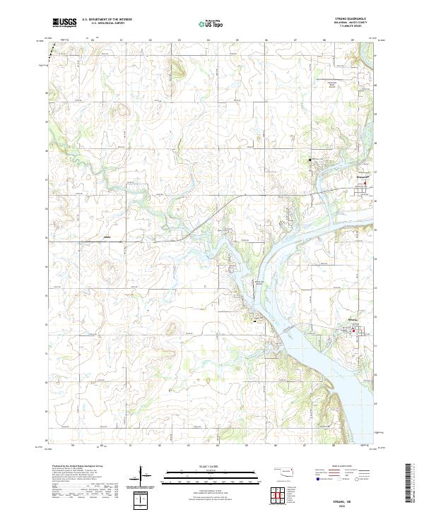 2022 Strang2022 Print · USGSMayes County, Oklahoma, is shown in this recent survey along the fertile Neosho River valley. Researchers can trace local lineage through Benge Cem or locate rural landmarks like Stearmans Roost Airport and the settlement of Strang.
 - 2023 Map of Adair, 2023 Print
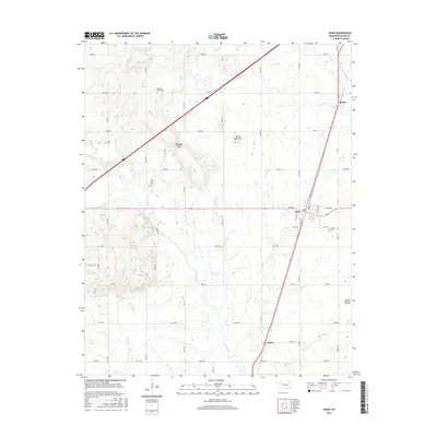
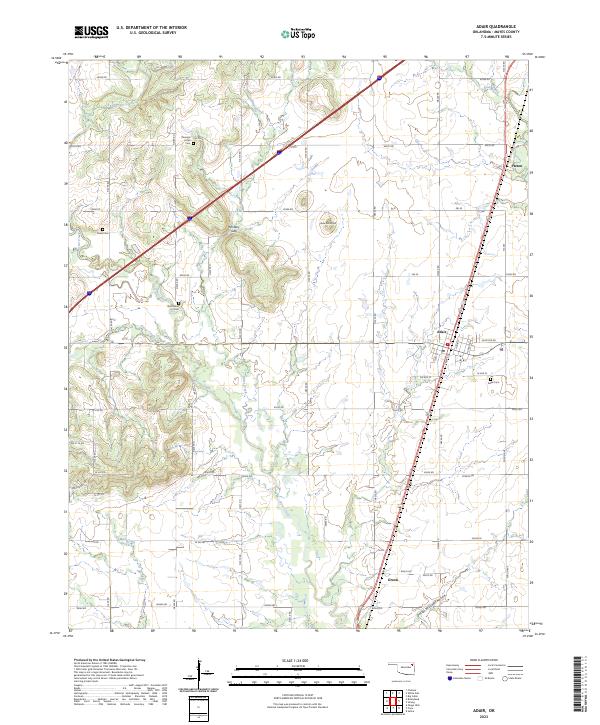 2023 Adair2023 Print · USGSAdair and the surrounding Mayes County countryside are captured in this modern survey of eastern Oklahoma. Genealogists can trace family roots through several local burial sites like Pleasant Hope Cem and landmarks such as Jesse James Hill and Whiskey Gap.
End of results
Showing maps 1-18 of 18
Top cities near Adair
- Claremore historical maps
- Pryor Creek historical maps
- Vinita historical maps
- Chelsea historical maps
- Salina historical maps
- Langley historical maps
See more
Top neighborhoods of Adair
Frequently asked questions
- What are the different types of historical maps available for Adair?
- What is the oldest map of Adair?
- Where can I purchase historical maps of Adair for my home or office?
- Where can I download high-res historical maps of Adair?
- Are there historical topographic maps available for Adair?
- Is there historical aerial imagery available for Adair?
- Where are historical maps of Adair sourced from?