2020s Maps of Noble County, Oklahoma
Explore 19 historic maps of Noble County from the 2020s. These maps offer a rare glimpse into what life looked like during the 2020s — showing old roads, neighborhoods, homes, and landmarks that have changed or disappeared over time.
Whether you're researching your family's past, planning a metal detecting trip, or studying how Noble County's landscape evolved across the 2020s, these high-resolution maps are a powerful tool for exploring the history of this region.
- Focus on a specific era: All maps on this page are from the 2020s, giving you a focused view of this time period.
- See what’s changed: Compare century-old streets, trails, and buildings to today's modern landscape using overlays and satellite layers.
- Research with precision: Use these maps for genealogy, historical research, land use analysis, or educational projects.
- View, download, or print: Maps are fully viewable online in high resolution, and can be downloaded or printed for your own records.
Start exploring Noble County's history through authentic maps from the 2020s. This is your window into the past.
Noble County, OK maps
(19)- 2022 Map of Lucien, 2022 Print
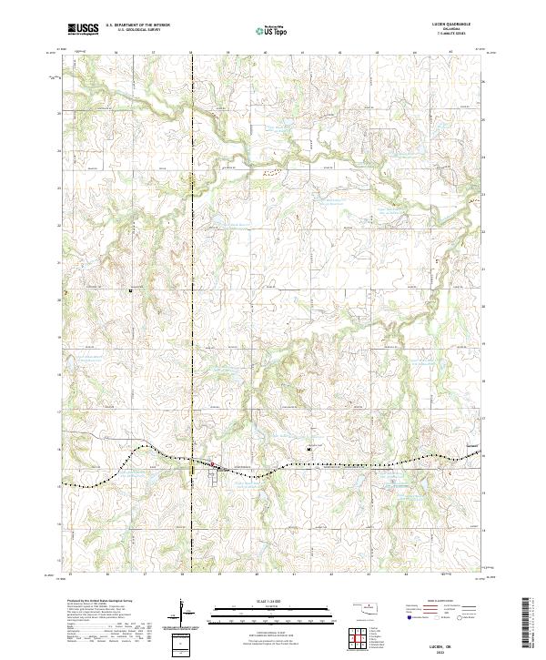 2022 Lucien2022 Print · USGSThe rural landscapes of Noble County are captured here in the early twenty-first century, showing the small community of Lucien and the surrounding prairie. Genealogists and local historians can locate Sample Cem, McGuire Cem, and the settlement of Gansel along the local road network.
 - 2022 Map of Black Bear, 2022 Print
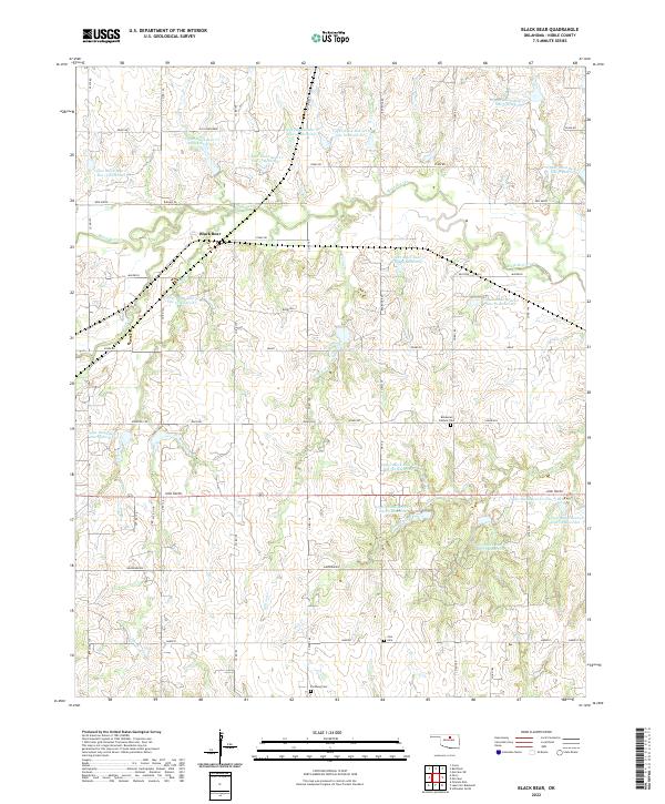 2022 Black Bear2022 Print · USGSNoble County in the early 2020s shows a landscape of prairie agriculture and extensive water management systems. Genealogists can locate Bohemian Catholic Cem and Zion Cem among family-named roads like John Wayne and Old John Deere.
 - 2022 Map of Orlando East, 2022 Print
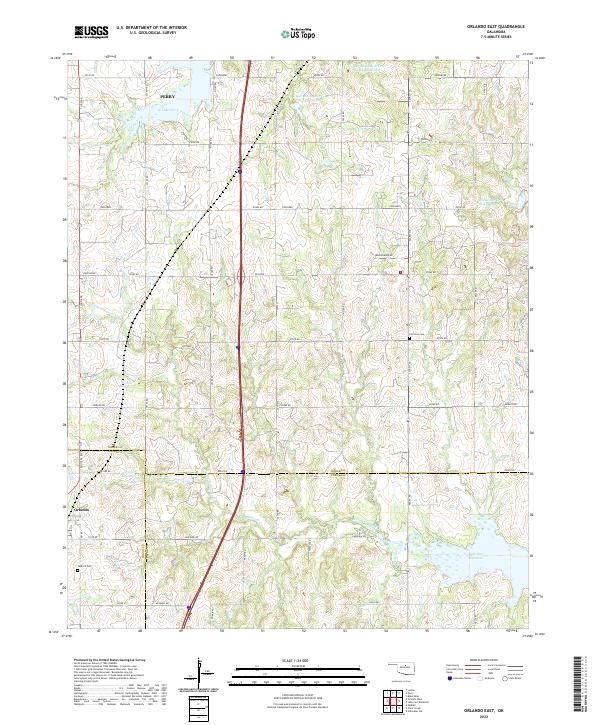 2022 Orlando East2022 Print · USGSThe borderlands of Noble, Logan, and Payne counties are captured here in the early 2020s, showing a landscape defined by cattle country and water management. Researchers can locate the Tedford Cem, the quiet settlement of Orlando, and the expansive waters of Lake Carl Blackwell.
 - 2022 Map of Perry NW, 2022 Print
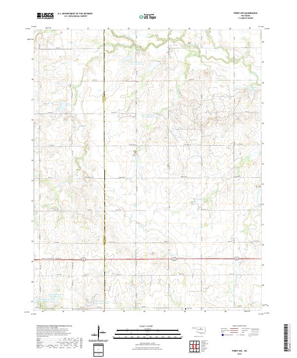 2022 Perry NW2022 Print · USGSOklahoma's agricultural heartland at the Garfield and Noble county border is meticulously documented in this modern survey. Researchers can locate the Polo Cem and trace the complex network of flood control structures like Upper Red Rock Cr Site 50 Reservoir.
 - 2022 Map of Billings, 2022 Print
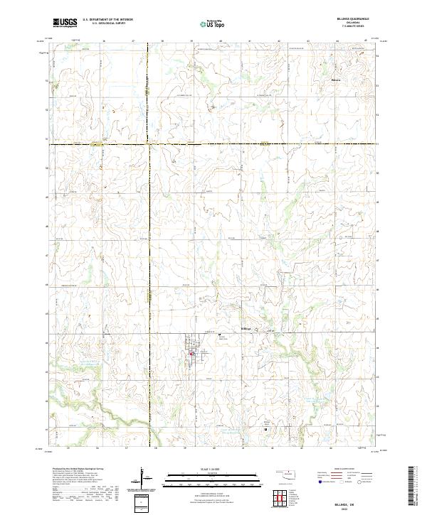 2022 Billings2022 Print · USGSThe north-central Oklahoma plains around the turn of the 2020s are captured here, centered on the historic town of Billings. Genealogists and local researchers can trace the rural landscape across four counties, identifying the site of Alcorn and the local road network.
 - 2022 Map of Prettyhair Creek, 2022 Print
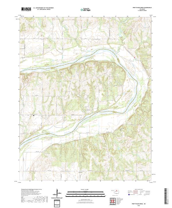 2022 Prettyhair Creek2022 Print · USGSThe Arkansas River valley at the Osage-Noble county line is shown here in the early twenty-first century, before recent shifts in rural infrastructure. Genealogists can trace family locations near Bressie Cem, Pixley Cem, and the river landing at Big Bend.
 - 2022 Map of Marland, 2022 Print
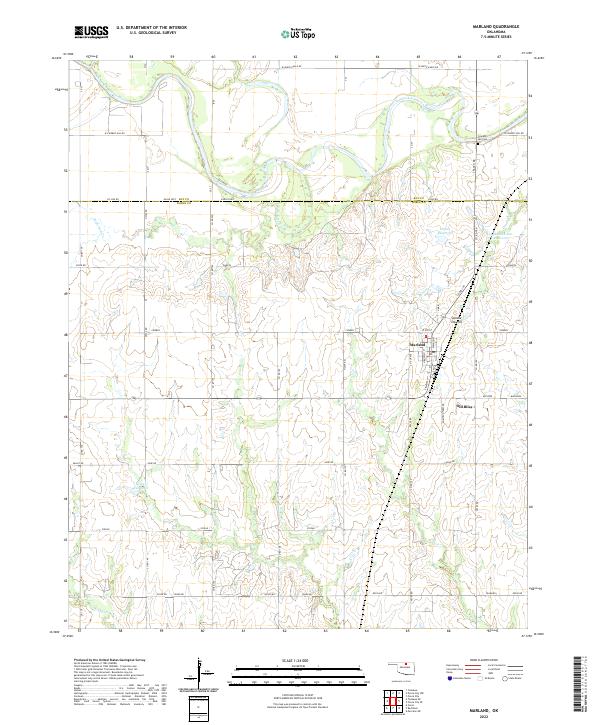 2022 Marland2022 Print · USGSThe Oklahoma prairie south of the Salt Fork Arkansas River comes into focus in this recent survey. Local historians can trace the relationship between Marland and Old Bliss or locate the Cowboy Hill Cem near the river bluffs.
 - 2022 Map of Ponca City SE, 2022 Print
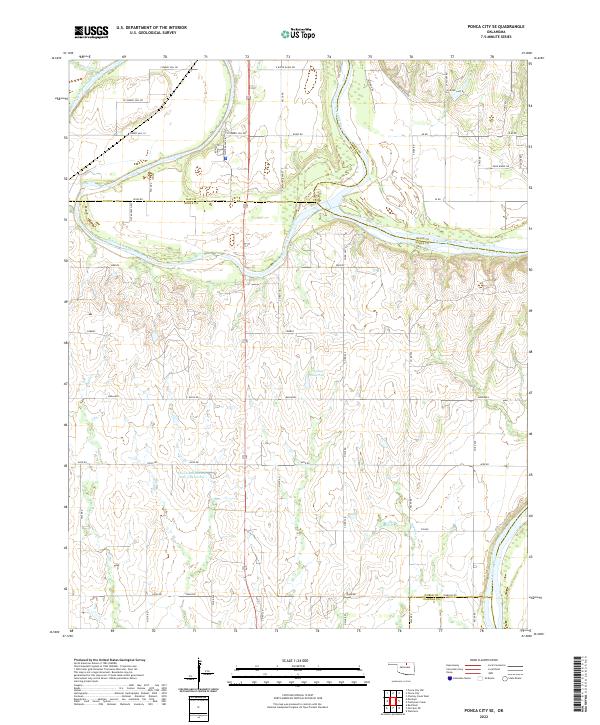 2022 Ponca City SE2022 Print · USGSNoble and Kay counties in the early twenty-first century are defined by the convergence of the Salt Fork Arkansas River and the Arkansas River. Researchers can trace the rural landscape near Cowboy Hill or locate the Lower Red Rock Cr Site 3 Reservoir among the network of local section roads.
 - 2022 Map of Perry, 2022 Print
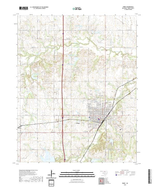 2022 Perry2022 Print · USGSPerry is captured in the early 2020s as a bustling county seat shaped by its rail and highway history. Researchers can trace family sites at Grace Hill Cem or explore the civic heart of the town near the Noble County Courthouse.
 - 2022 Map of Orlando West, 2022 Print
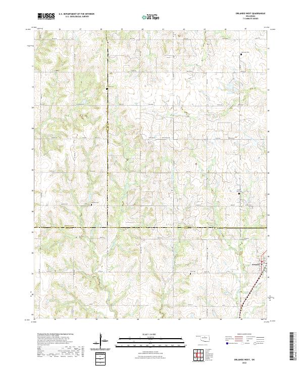 2022 Orlando West2022 Print · USGSThe tri-county borderlands south of Orlando are captured here in the early twenty-first century. Researchers can locate several burial sites including Pioneer Cem and German Cem while tracing the tributaries of W Beaver Cr.
 - 2022 Map of Morrison, 2022 Print
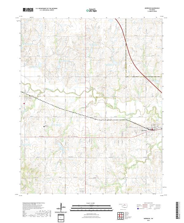 2022 Morrison2022 Print · USGSMorrison and Sumner appear as quiet agricultural hubs in this modern survey of Noble County. Genealogists and local historians can trace the grid of rural roads to sites like the Pleasant Valley Cem, Knob Hill, and Black Bear Cr.
 - 2022 Map of Morrison NE, 2022 Print
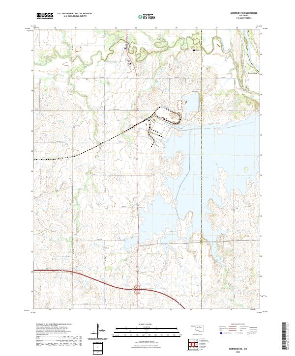 2022 Morrison NE2022 Print · USGSOklahoma's prairie landscape meets the major reservoir system of the Arkansas River basin in this contemporary survey. Researchers can trace tribal and local heritage at the Otoe Missouria Cem or explore the winding shoreline of Sooner Lake and Beaver Island.
 - 2022 Map of Ceres, 2022 Print
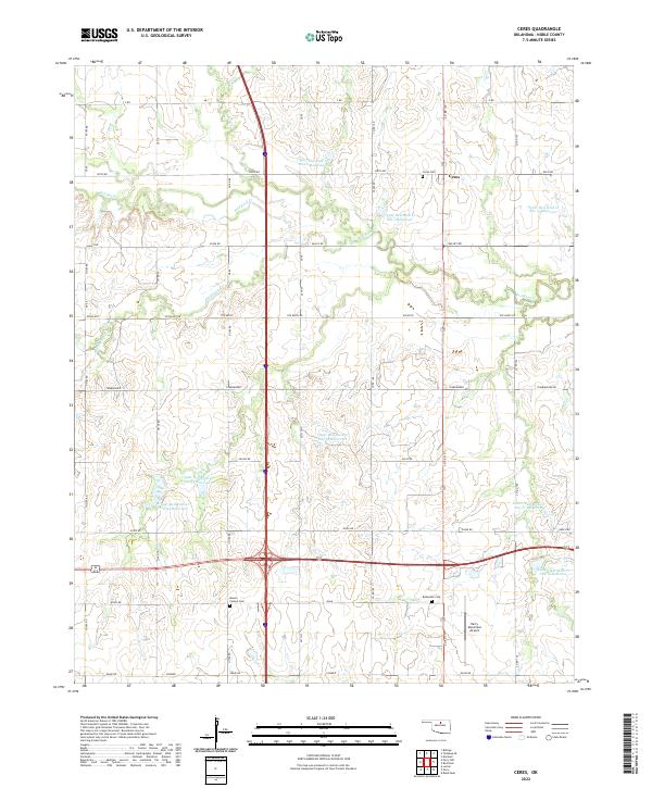 2022 Ceres2022 Print · USGSNoble County's agricultural prairie is documented here in the early twenty-first century, showing a landscape shaped by water management and aviation. Researchers can locate family burial sites at Bohemian Cem and Mount Carmel Cem or trace the drainage of Hackberry Cr.
 - 2022 Map of Stillwater North, 2022 Print
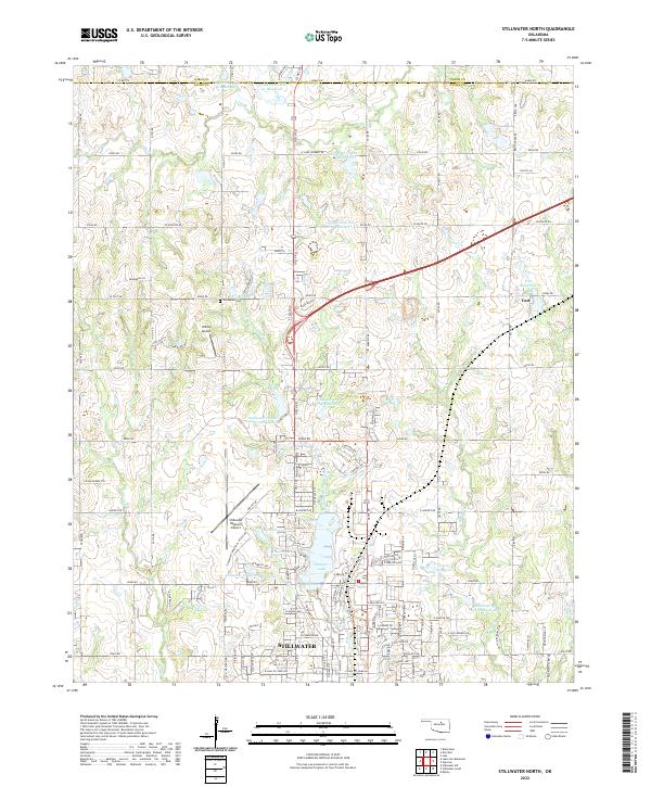 2022 Stillwater North2022 Print · USGSThe northern reaches of Stillwater and the surrounding Oklahoma plains are documented here in the early 2020s. Researchers can trace family sites near Old Moore Cem, explore the growth of Stillwater, and locate rural landmarks like Yost and Roka Ridge.
 - 2022 Map of Lake Carl Blackwell, 2022 Print
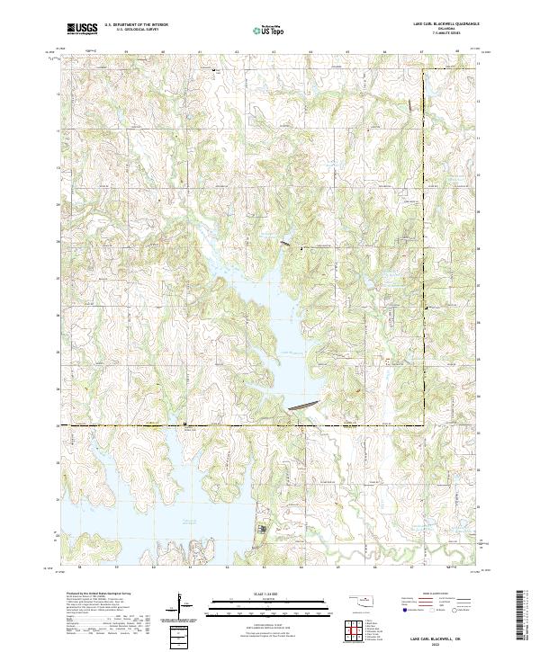 2022 Lake Carl Blackwell2022 Print · USGSThe Noble and Payne County line area in north-central Oklahoma is defined by a massive network of reservoirs and creeks. Local historians can locate ancestral sites like Shelton-Bethel Cemetery or trace the early paths of North Stillwater Creek and Dry Creek.
 - 2022 Map of Tonkawa SE, 2022 Print
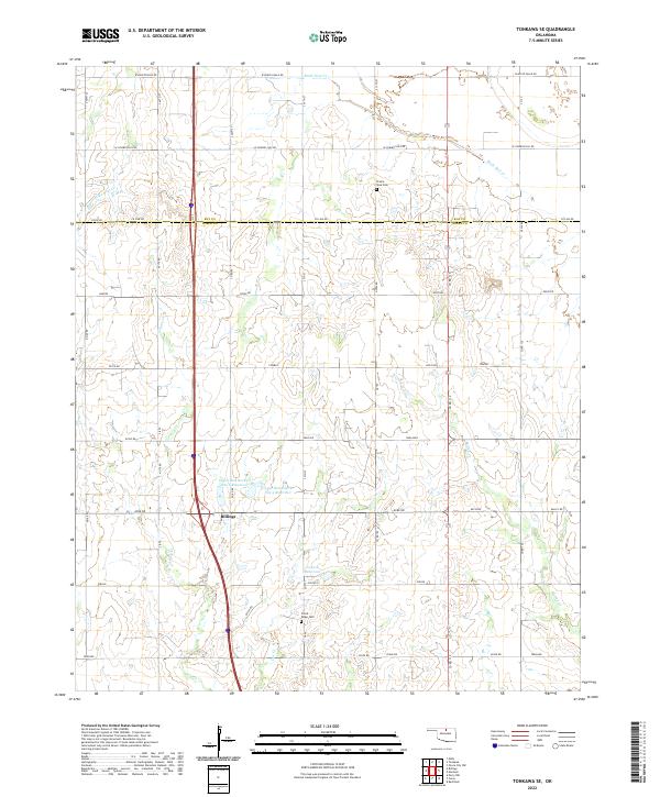 2022 Tonkawa SE2022 Print · USGSBillings and the rural prairies of Noble and Kay counties are captured in this 2020s survey. Genealogists and local historians can trace family ties at Floral Ridge Cem and Prairie View Cem or map the drainage of Birds Nest Cr.
 - 2022 Map of Red Rock, 2022 Print
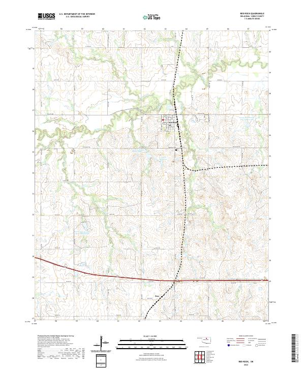 2022 Red Rock2022 Print · USGSRed Rock and the surrounding Noble County plains are documented here in the early twenty-first century, showing a landscape defined by prairie creek systems and rural townships. Genealogists and historians can trace local landmarks like the Red Rock Cem, the settlement of Otoe, and the winding course of Red Rock Cr.
 - 2022 Map of Lela, 2022 Print
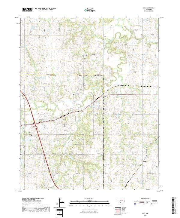 2022 Lela2022 Print · USGSNorth-central Oklahoma's rural landscape at the Noble and Pawnee county line comes into focus in this contemporary survey. Genealogists and local historians can locate several family and community burial sites, including Indian Cem, Lela Cem, and Union Cem.
 - 2022 Map of Glencoe, 2022 Print
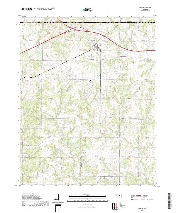 2022 Glencoe2022 Print · USGSGlencoe and its surrounding rural sections in northern Oklahoma are documented here during a period of modern water management and established transport. Researchers can trace family history at Glencoe Cem or Eberle Cem and locate local landmarks like Mulberry Hill Airport.
End of results
Showing maps 1-19 of 19
Top cities of Noble County
- Perry historical maps
- Morrison historical maps
- Billings historical maps
- Red Rock historical maps
- Marland historical maps
Frequently asked questions
- What are the different types of historical maps available for Noble County?
- What is the oldest map of Noble County?
- Where can I purchase historical maps of Noble County for my home or office?
- Where can I download high-res historical maps of Noble County?
- Are there historical topographic maps available for Noble County?
- Is there historical aerial imagery available for Noble County?
- Where are historical maps of Noble County sourced from?