Old Maps of Billings, Oklahoma for Hiking & Exploration
Hike through history with 15 historic maps of Billings. Explore old trails, ghost towns, and forgotten backroads — perfect for outdoor adventurers and local explorers.
- Rediscover forgotten places: Map out old mining camps, roads, and footpaths that no longer exist on modern maps.
- Layer with modern tools: Combine with LiDAR or satellite views to plan hikes through historical terrain.
- Made for exploration: Popular among hikers, overlanders, and local history lovers.
Use these maps to find adventure and explore the hidden past of Billings.
Billings, OK maps
(15)- 1955 Map of Enid, 1966 Print
 1955 Enid1966 Print · USGSNorth-central Oklahoma's transition from open plains to the blackjack hills of the Osage Indian Reservation is captured in the mid-1950s. Researchers can trace the development of the Naval Reserve Oil Field, the grounds of Vance AFB, and the early footprints of Tulsa and Stillwater.4 unique versions available
 - 1958 Map of Enid
 1958 Enid1958 Print · USGSNorthern Oklahoma is mapped here in the late fifties, showcasing a dense network of petroleum production and historic tribal lands. Researchers can trace the legacy of the Osage Indian Reservation, early energy hubs like the Cushing Oil Field, and the Chilocco Indian Agricultural School.2 unique versions available
 - 1968 Map of Billings, 1969 Print
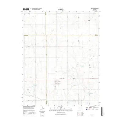
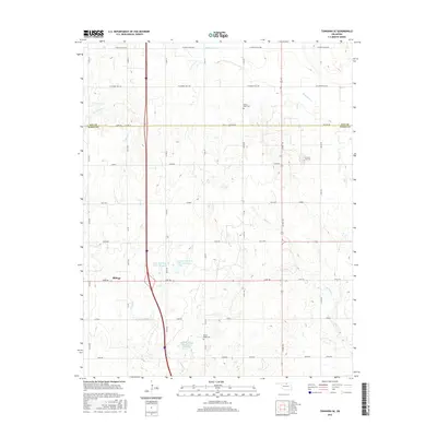
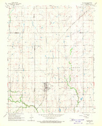 1968 Billings1969 Print · USGSThe town of Billings and the surrounding plains of Noble and Garfield Counties are captured here in the late sixties. Researchers can trace the diagonal route of the Chicago Rock Island and Pacific railroad and locate local landmarks like Sacred Heart Cem and Billings Union Cem.2 unique versions available
 - 1968 Map of Tonkawa SE, 1969 Print
 1968 Tonkawa SE1969 Print · USGSThe Oklahoma plains in the late sixties reveal an era of intensive energy extraction and expanding highways. Family historians can trace the Three Sands Oil Field and Glenrose while locating rural landmarks like Freedom Ch and Prairie View Cem.2 unique versions available
 - 1985 Map of Ponca City
 1985 Ponca City1985 Print · USGSNorth-central Oklahoma during the mid-eighties shows a landscape shaped by petroleum and heavy rail. Trace the paths of the Atchison Topeka and Santa Fe through Ponca City or find local landmarks like Northern Oklahoma Junior College and Old Bliss.3 unique versions available
 - 2009 Map of Tonkawa SE, 2009 Print
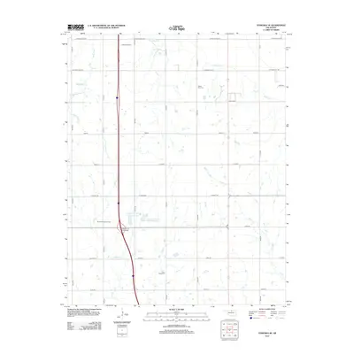
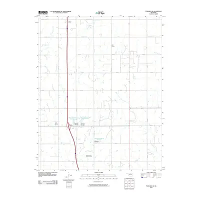 2009 Tonkawa SE2009 Print · USGSCovers Billings, including Kay County, Noble County, and other nearby areas
 - 2009 Map of Billings, 2009 Print
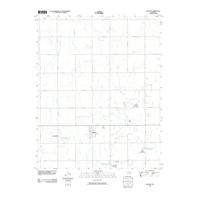 2009 Billings2009 Print · USGSCovers Billings, including Alcorn, Polk, and other nearby areas
 - 2012 Map of Billings, 2012 Print
 2012 Billings2012 Print · USGSCovers Billings, including Alcorn, Polk, and other nearby areas
 - 2012 Map of Tonkawa SE, 2012 Print
 2012 Tonkawa SE2012 Print · USGSCovers Billings, including Kay County, Noble County, and other nearby areas
 - 2016 Map of Billings, 2016 Print
 2016 Billings2016 Print · USGSCovers Billings, including Alcorn, Polk, and other nearby areas
 - 2016 Map of Tonkawa SE, 2016 Print
 2016 Tonkawa SE2016 Print · USGSCovers Billings, including Kay County, Noble County, and other nearby areas
 - 2018 Map of Tonkawa SE, 2018 Print
 2018 Tonkawa SE2018 Print · USGSCovers Billings, including Kay County, Noble County, and other nearby areas
 - 2018 Map of Billings, 2018 Print
 2018 Billings2018 Print · USGSCovers Billings, including Alcorn, Polk, and other nearby areas
 - 2022 Map of Billings, 2022 Print
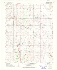
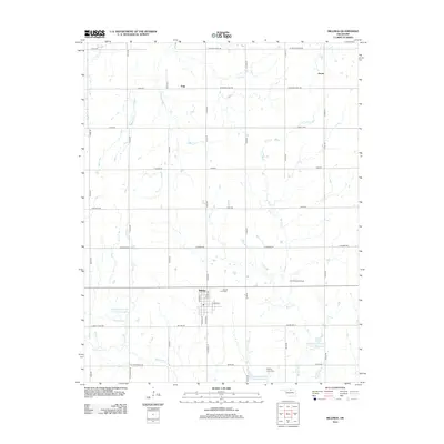
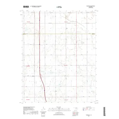
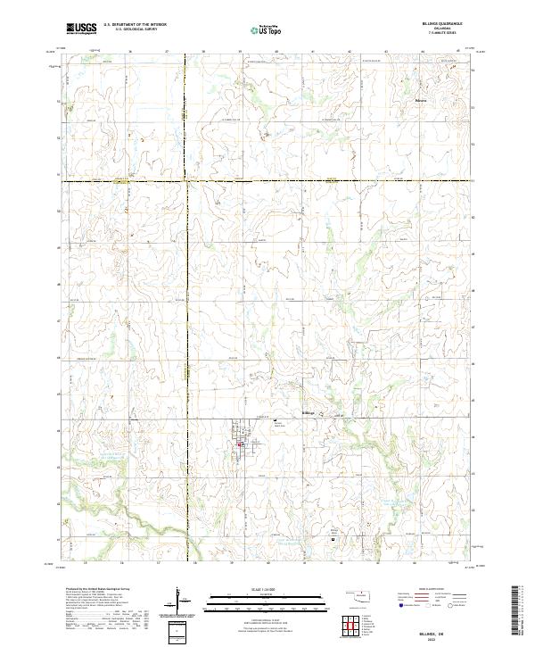 2022 Billings2022 Print · USGSThe north-central Oklahoma plains around the turn of the 2020s are captured here, centered on the historic town of Billings. Genealogists and local researchers can trace the rural landscape across four counties, identifying the site of Alcorn and the local road network.
 - 2022 Map of Tonkawa SE, 2022 Print
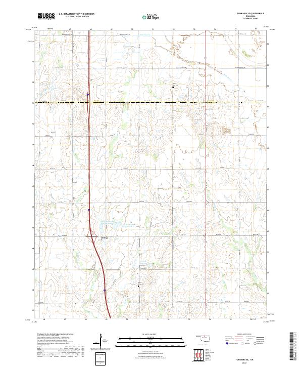 2022 Tonkawa SE2022 Print · USGSBillings and the rural prairies of Noble and Kay counties are captured in this 2020s survey. Genealogists and local historians can trace family ties at Floral Ridge Cem and Prairie View Cem or map the drainage of Birds Nest Cr.
End of results
Showing maps 1-15 of 15
Top cities near Billings
- Perry historical maps
- Tonkawa historical maps
- Garber historical maps
- Covington historical maps
- Lamont historical maps
- Red Rock historical maps
Frequently asked questions
- What are the different types of historical maps available for Billings?
- What is the oldest map of Billings?
- Where can I purchase historical maps of Billings for my home or office?
- Where can I download high-res historical maps of Billings?
- Are there historical topographic maps available for Billings?
- Is there historical aerial imagery available for Billings?
- Where are historical maps of Billings sourced from?