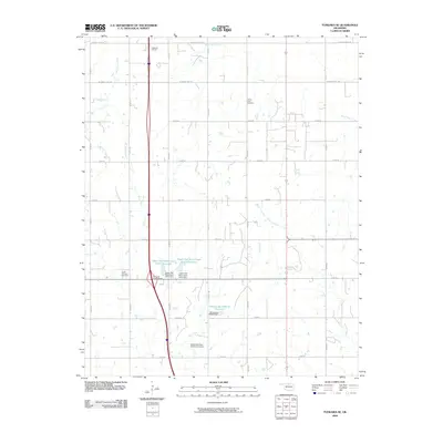
2009 Map of Tonkawa SE
USGS Topo · Published 2009About this map
The Tonkawa Oil Field and South Tonkawa Gas Field define the industrial footprint of this north-central Oklahoma landscape, where energy extraction meets an organized grid of section-line roads. This survey reveals a complex hydrological network managed for agricultural and local use, featuring numerous man-made structures such as the Upper Red Rock Creek Site 6 Dam and the Oknoname 103010 Dam. These dams created substantial water bodies like the Upper Red Rock Creek Site 5 Reservoir and Oknoname 103010 Reservoir, which sit alongside natural drainages like Birds Nest Creek and Skinny Creek. Evidence of early settlement and community life is anchored by the Prairie View Cemetery in the northeastern portion of the quadrangle, while modern transportation is represented by the north-south transit corridor and the Oklahoma 15 Interchange.
Find a feature on this map
25 named features on this map. Tap any name to fly to it.
Don’t see what you’re looking for? This feature index may not catch every label — zoom into the map to look around manually.
Map Details
Editions of this 2009 Tonkawa SE Map
This is the sole edition of this map. No revisions or reprints were ever made.
Other maps of this area

1955 · Enid
USGS Topo · 1:250,000

1958 · Enid
USGS Topo · 1:250,000

1968 · Billings
USGS Topo · 1:24,000

1968 · Tonkawa SE
USGS Topo · 1:24,000

1968 · Marland
USGS Topo · 1:24,000

1968 · Ponca City NW
USGS Topo · 1:24,000

1968 · Eddy
USGS Topo · 1:24,000

1968 · Tonkawa
USGS Topo · 1:24,000

1972 · Perry NW
USGS Topo · 1:24,000

1972 · Red Rock
USGS Topo · 1:24,000