
1972 Map of Perry NW
USGS Topo · Published 1974About this map
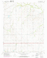
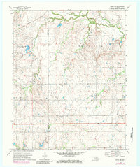
The White Rock Oil Field and Antelope Valley Gas Field dominate the landscape of Noble County in the early 1970s, illustrating the intensive energy production in this part of Oklahoma. The terrain is defined by a dense network of drainage, where Red Rock Creek is joined by tributaries like Monkey Creek, Bunch Creek, and Elkhorn Creek. This period of infrastructure development is captured by the prominent Under Construction highway label spanning the southern portion of the sheet. Industrial activity is further evidenced by several Shale Pit and Sandpit sites. Local history is anchored by the Palo Cem in the south, while the Chicago Rock Island and Pacific railroad cuts across the northwestern corner, connecting the rural oil and gas lands to the broader regional economy. The boundary between Garfield and Noble Counties is clearly delineated as it passes through these resource-rich fields.
Find a feature on this map
15 named features on this map. Tap any name to fly to it.
Don’t see what you’re looking for? This feature index may not catch every label — zoom into the map to look around manually.
Map Details
Editions of this 1972 Perry NW Map
3 editions found
Other maps of this area

1955 · Enid
USGS Topo · 1:250,000

1956 · Garber
USGS Topo · 1:62,500

1958 · Enid
USGS Topo · 1:250,000

1968 · Lamont SE
USGS Topo · 1:24,000

1968 · Billings
USGS Topo · 1:24,000

1968 · Tonkawa SE
USGS Topo · 1:24,000

1972 · Ceres
USGS Topo · 1:24,000

1972 · Perry
USGS Topo · 1:24,000

1972 · Lucien
USGS Topo · 1:24,000
1979 · Perry NW
USGS Topo · 1:24,000