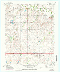
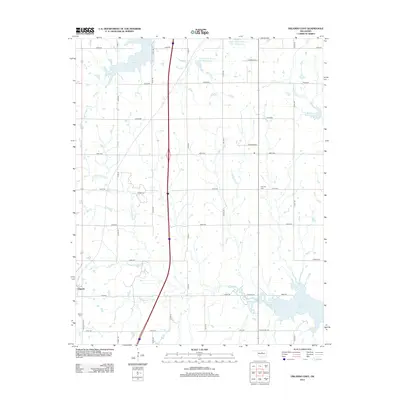
1972 Map of Perry NW
USGS Topo · Published 1979About this map
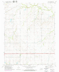
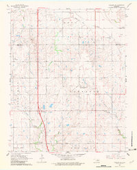
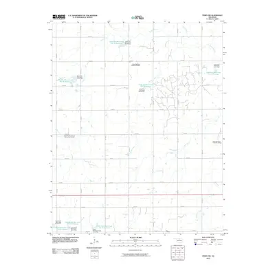
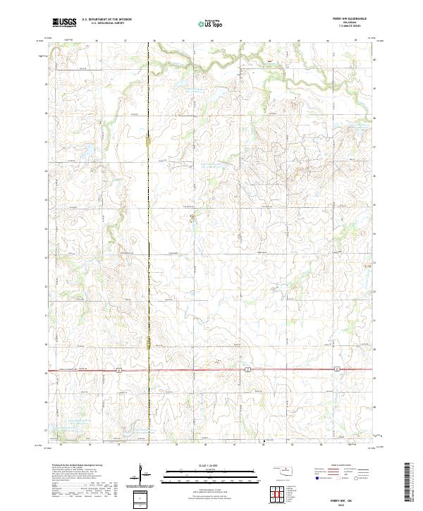
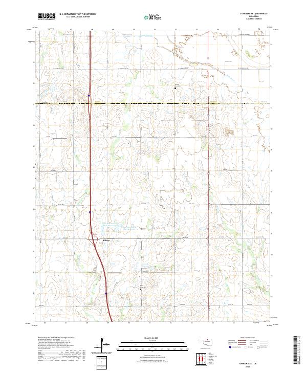
The borderlands of Garfield and Noble Counties reveal a landscape defined by prairie watercourses and the infrastructure of the Oklahoma petroleum industry. Red Rock Creek and its many tributaries, including Monkey Creek and Elkhorn Creek, carve across the townships of White Rock and Olive. The presence of an extensive Oil Field and Oil and Gas Field indicates the region's economic drivers during the early 1970s, with numerous Oil Wells scattered across the rural sections.
Find a feature on this map
23 named features on this map. Tap any name to fly to it.
Don’t see what you’re looking for? This feature index may not catch every label — zoom into the map to look around manually.
Map Details
Editions of this 1972 Perry NW Map
3 editions found
Historical Maps of Garfield County Through Time
55 maps found
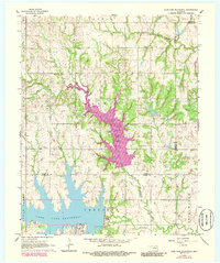
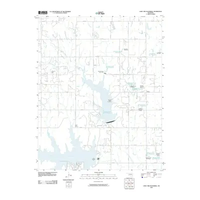
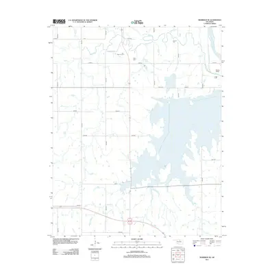
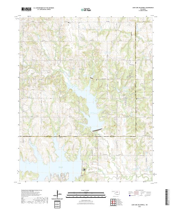
1966 Lake Carl Blackwell
Noble County, OK
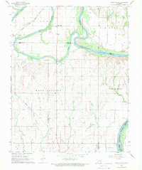
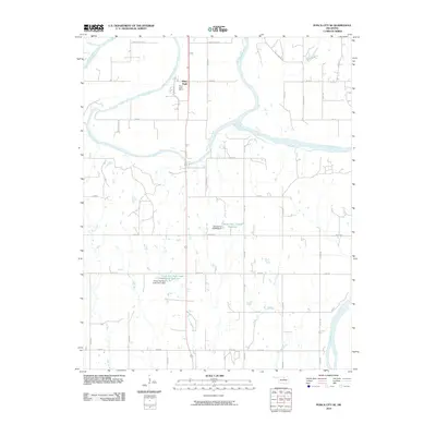
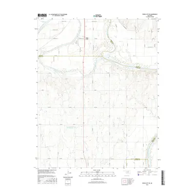
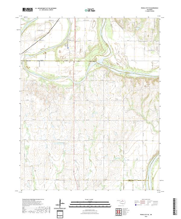
1968 Ponca City SE
Noble County, OK
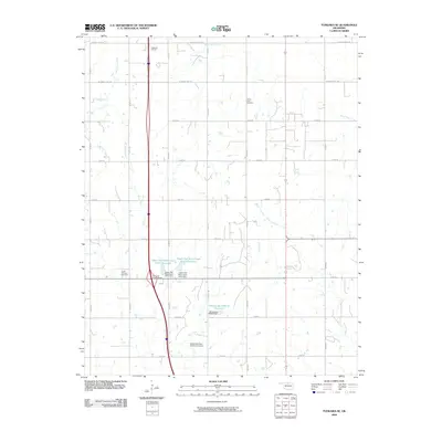
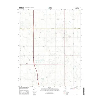
1968 Tonkawa SE
Noble County, OK
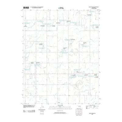
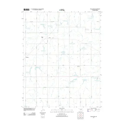
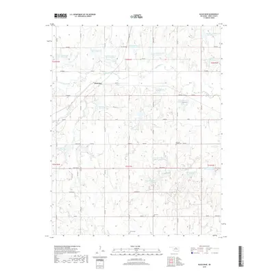
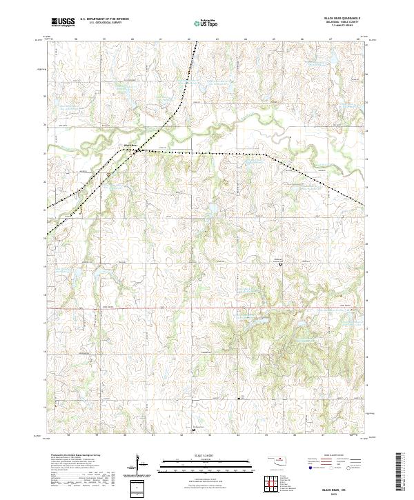
1972 Black Bear
Noble County, OK
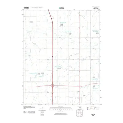
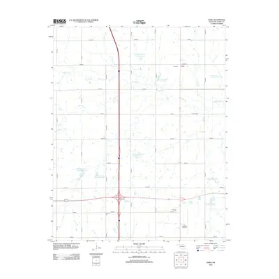
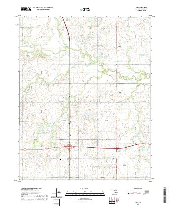
1972 Ceres
Noble County, OK
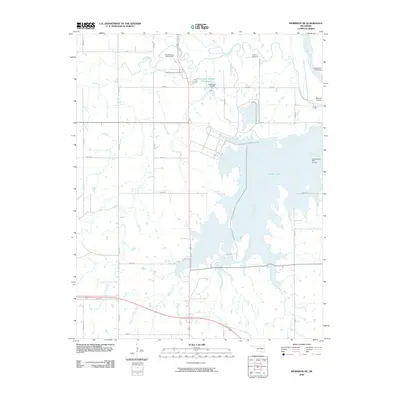
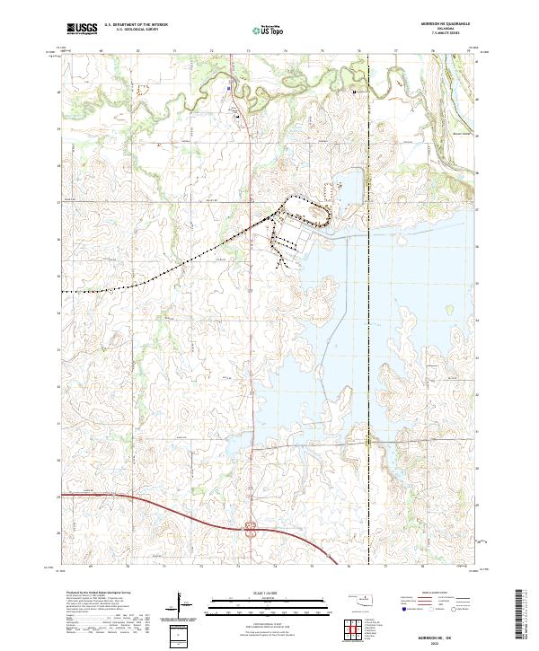
1972 Morrison NE
Noble County, OK
1972 Perry NW
Noble County, OK
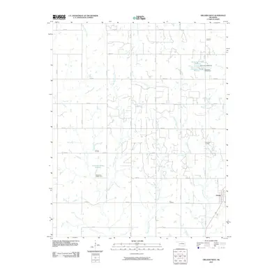
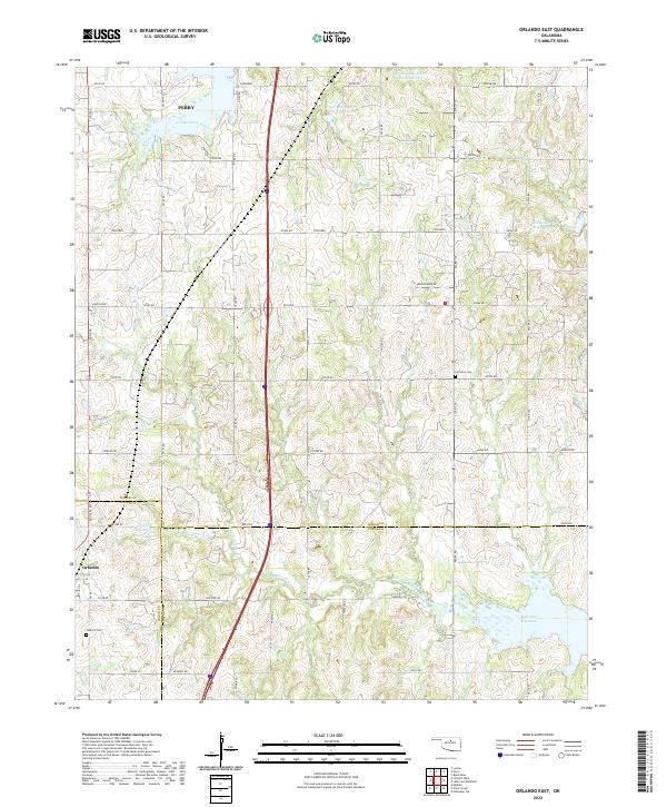
1974 Orlando East
Noble County, OK
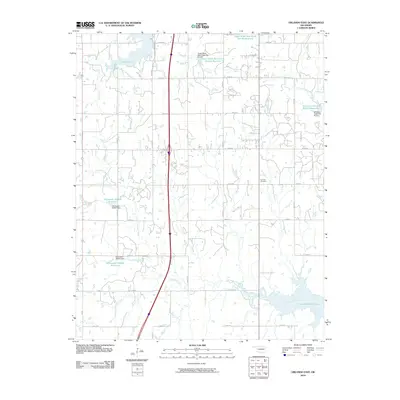
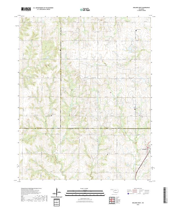
1974 Orlando West
Noble County, OK
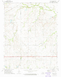
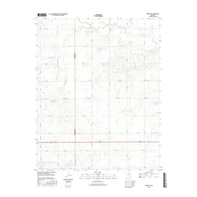
1979 Perry NW
Noble County, OK
2009 Black Bear
Noble County, OK
2009 Ceres
Noble County, OK
2009 Lake Carl Blackwell
Noble County, OK
2009 Morrison NE
Noble County, OK
2009 Tonkawa SE
Noble County, OK
2010 Orlando East
Noble County, OK
2010 Orlando West
Noble County, OK
2010 Perry NW
Noble County, OK
2010 Ponca City SE
Noble County, OK
2012 Black Bear
Noble County, OK
2012 Ceres
Noble County, OK
2012 Morrison NE
Noble County, OK
2012 Orlando East
Noble County, OK
2012 Orlando West
Noble County, OK
2012 Perry NW
Noble County, OK
2012 Ponca City SE
Noble County, OK
2012 Tonkawa SE
Noble County, OK
2013 Lake Carl Blackwell
Noble County, OK
2016 Black Bear
Noble County, OK
2016 Ceres
Noble County, OK
2016 Lake Carl Blackwell
Noble County, OK
2016 Morrison NE
Noble County, OK
2016 Orlando East
Noble County, OK
2016 Orlando West
Noble County, OK
2016 Perry NW
Noble County, OK
2016 Ponca City SE
Noble County, OK
2016 Tonkawa SE
Noble County, OK
2018 Black Bear
Noble County, OK
2018 Ceres
Noble County, OK
2018 Lake Carl Blackwell
Noble County, OK
2018 Morrison NE
Noble County, OK
2018 Orlando East
Noble County, OK
2018 Orlando West
Noble County, OK
2018 Perry NW
Noble County, OK
2018 Ponca City SE
Noble County, OK
2018 Tonkawa SE
Noble County, OK
2022 Black Bear
Noble County, OK
2022 Ceres
Noble County, OK
2022 Lake Carl Blackwell
Noble County, OK
2022 Morrison NE
Noble County, OK
2022 Orlando East
Noble County, OK
2022 Orlando West
Noble County, OK
2022 Perry NW
Noble County, OK
2022 Ponca City SE
Noble County, OK
2022 Tonkawa SE
Noble County, OK