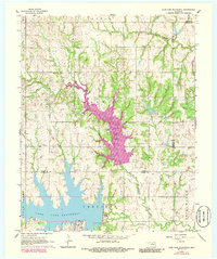
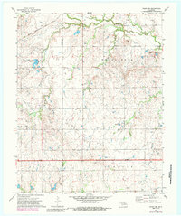
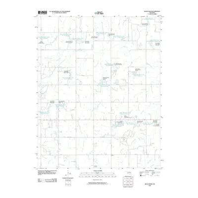
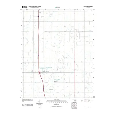
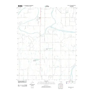
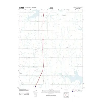
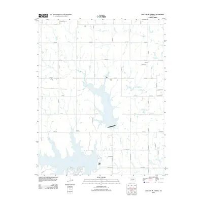
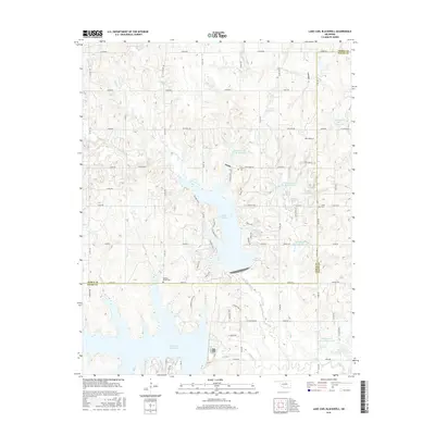
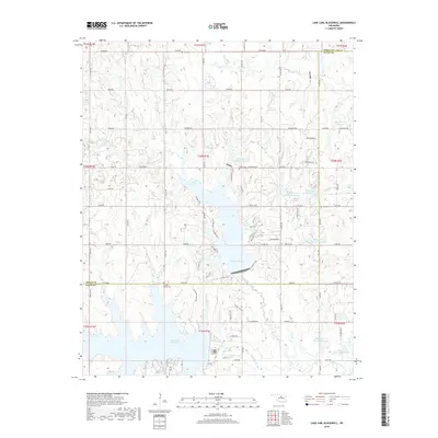
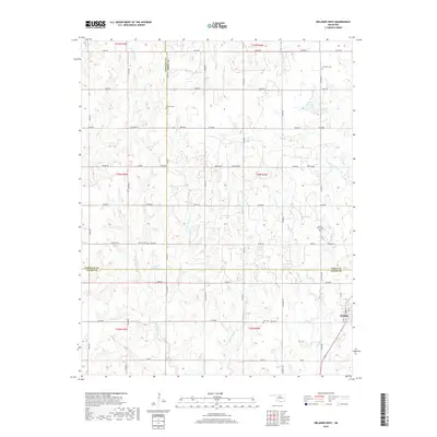
1966 Map of Lake Carl Blackwell
USGS Topo · Published 1986About this map
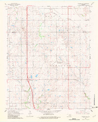
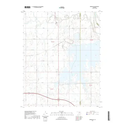
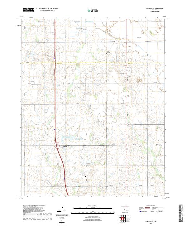
Lake Mcmurtry and Lake Carl Blackwell dominate this mid-century landscape along the boundary of Noble and Payne Counties. The map documents a period of evolving land use, where natural waterways like North Stillwater Creek and Long Branch have been harnessed for regional water management and recreation. Evidence of the local petroleum industry is visible in the northwest, specifically within the South Lone Elm Oil Field, where numerous Oil Wells and a Drill Hole are marked among the section lines.
Find a feature on this map
23 named features on this map. Tap any name to fly to it.
Don’t see what you’re looking for? This feature index may not catch every label — zoom into the map to look around manually.
Map Details
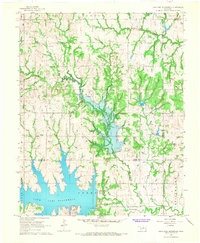
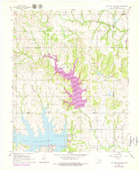
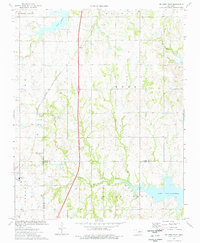
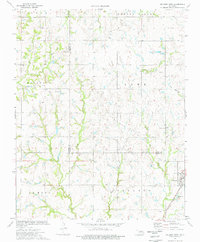
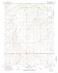
Editions of this 1966 Lake Carl Blackwell Map
3 editions found
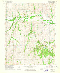
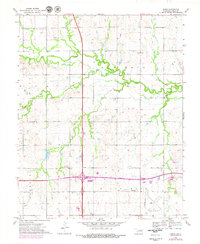
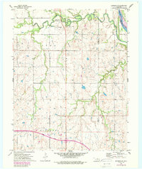
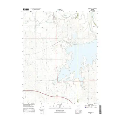
Historical Maps of Payne County Through Time
55 maps found
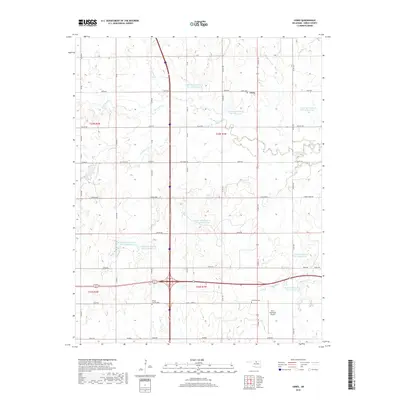
1966 Lake Carl Blackwell
Noble County, OK
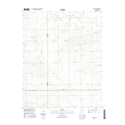
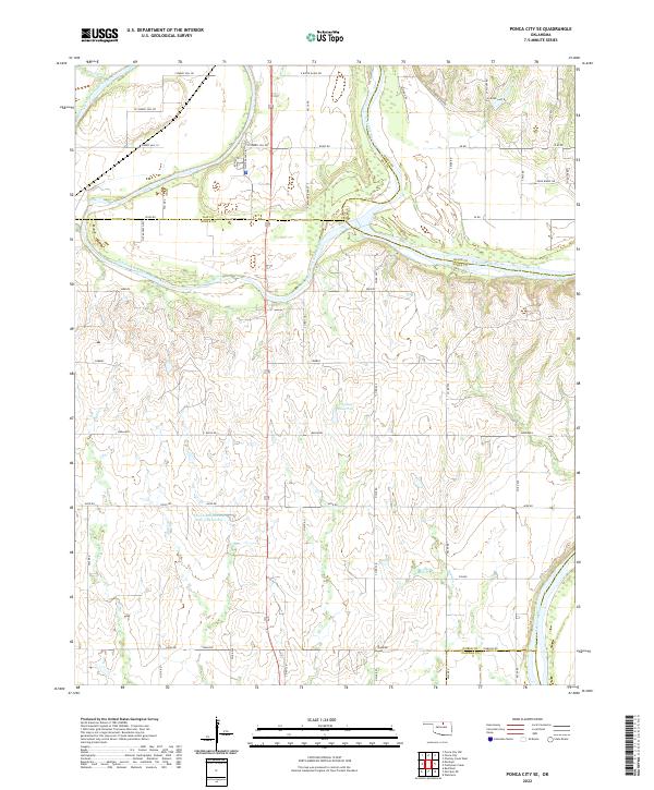
1968 Ponca City SE
Noble County, OK
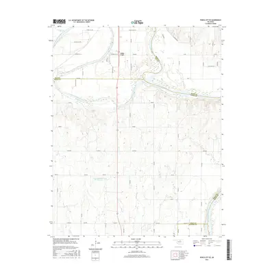
1968 Tonkawa SE
Noble County, OK
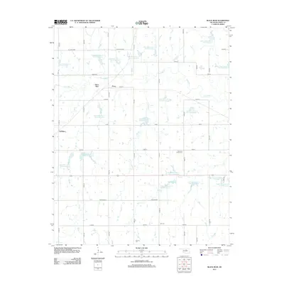
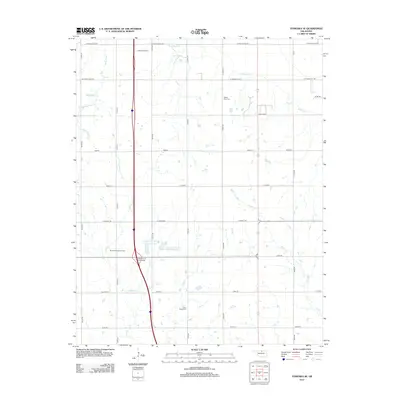
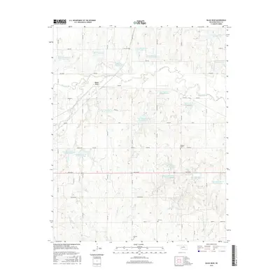
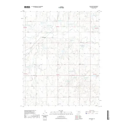
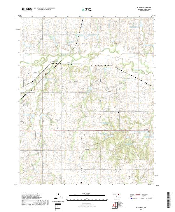
1972 Black Bear
Noble County, OK
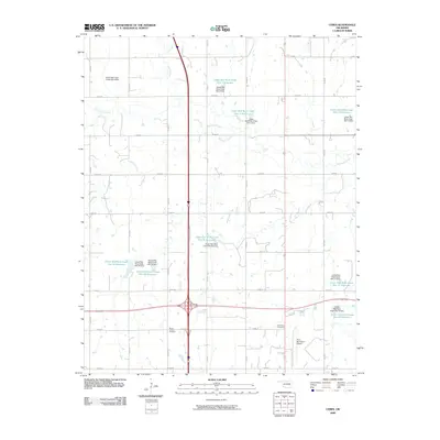
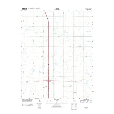
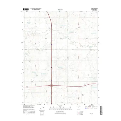
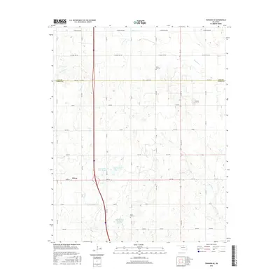
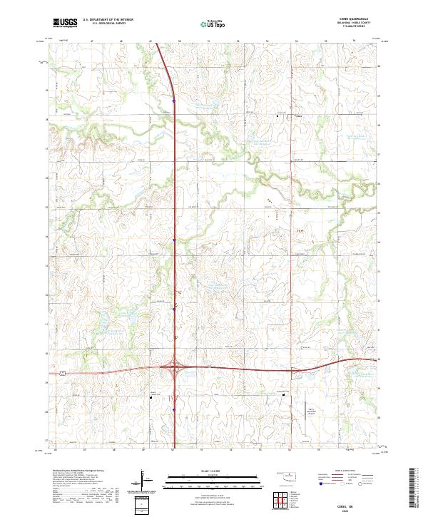
1972 Ceres
Noble County, OK
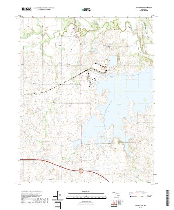
1972 Morrison NE
Noble County, OK
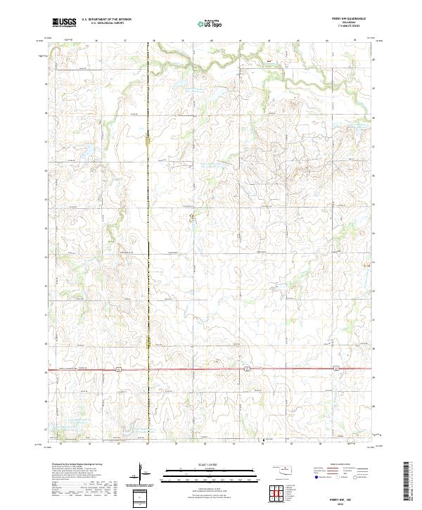
1972 Perry NW
Noble County, OK
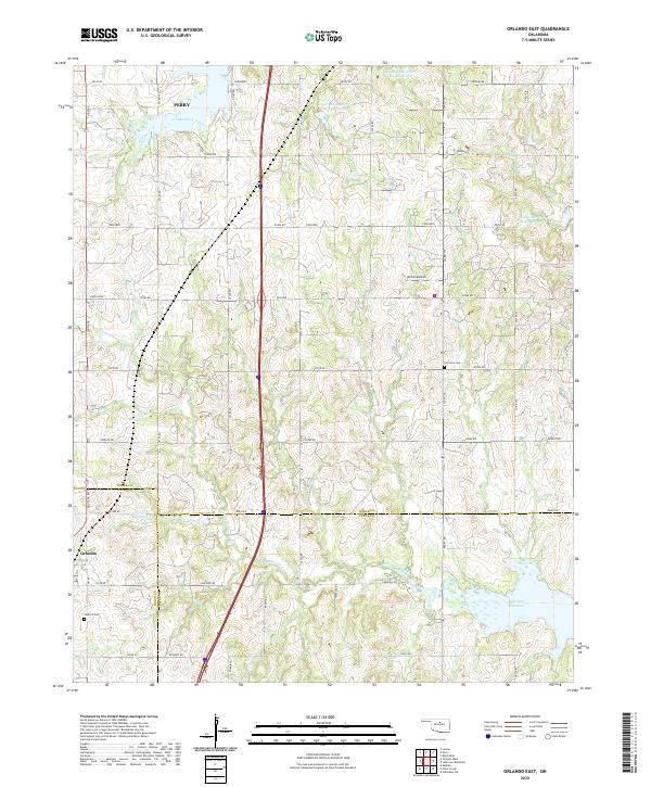
1974 Orlando East
Noble County, OK
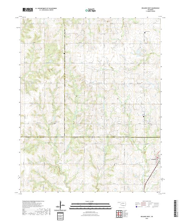
1974 Orlando West
Noble County, OK
1979 Perry NW
Noble County, OK
2009 Black Bear
Noble County, OK
2009 Ceres
Noble County, OK
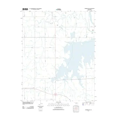
2009 Lake Carl Blackwell
Noble County, OK
2009 Morrison NE
Noble County, OK
2009 Tonkawa SE
Noble County, OK
2010 Orlando East
Noble County, OK
2010 Orlando West
Noble County, OK
2010 Perry NW
Noble County, OK
2010 Ponca City SE
Noble County, OK
2012 Black Bear
Noble County, OK
2012 Ceres
Noble County, OK
2012 Morrison NE
Noble County, OK
2012 Orlando East
Noble County, OK
2012 Orlando West
Noble County, OK
2012 Perry NW
Noble County, OK
2012 Ponca City SE
Noble County, OK
2012 Tonkawa SE
Noble County, OK
2013 Lake Carl Blackwell
Noble County, OK
2016 Black Bear
Noble County, OK
2016 Ceres
Noble County, OK
2016 Lake Carl Blackwell
Noble County, OK
2016 Morrison NE
Noble County, OK
2016 Orlando East
Noble County, OK
2016 Orlando West
Noble County, OK
2016 Perry NW
Noble County, OK
2016 Ponca City SE
Noble County, OK
2016 Tonkawa SE
Noble County, OK
2018 Black Bear
Noble County, OK
2018 Ceres
Noble County, OK
2018 Lake Carl Blackwell
Noble County, OK
2018 Morrison NE
Noble County, OK
2018 Orlando East
Noble County, OK
2018 Orlando West
Noble County, OK
2018 Perry NW
Noble County, OK
2018 Ponca City SE
Noble County, OK
2018 Tonkawa SE
Noble County, OK
2022 Black Bear
Noble County, OK
2022 Ceres
Noble County, OK
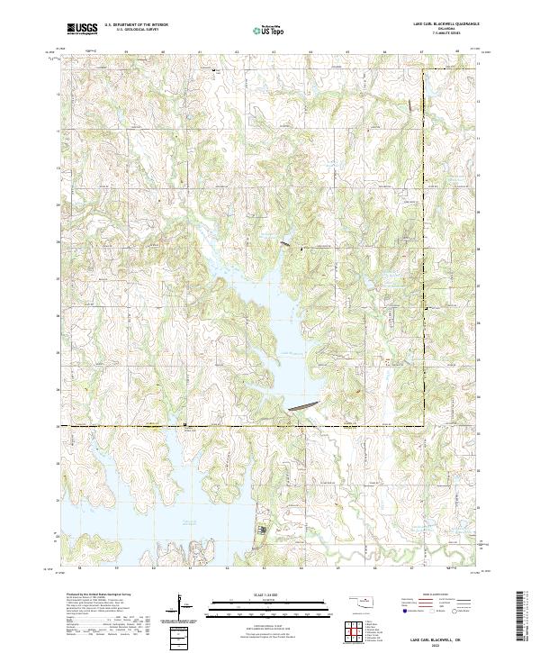
2022 Lake Carl Blackwell
Noble County, OK
2022 Morrison NE
Noble County, OK
2022 Orlando East
Noble County, OK
2022 Orlando West
Noble County, OK
2022 Perry NW
Noble County, OK
2022 Ponca City SE
Noble County, OK
2022 Tonkawa SE
Noble County, OK