
1972 Map of Morrison
USGS Topo · Published 1974About this map
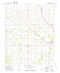
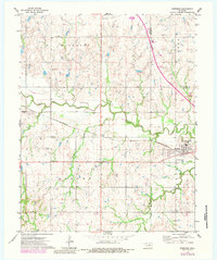
Morrison and Sumner anchor this early 1970s landscape in Noble County, where the transition from traditional rail transport to modern infrastructure is clearly visible. The St Louis - San Francisco railroad cuts a diagonal path across the terrain, serving the local agricultural and industrial base while a Turnpike Under Construction signals the shift toward high-speed automobile travel. The rural character is defined by landmarks such as Pleasant Valley Cem and named intersections like Petes Corner and Bills Corner, which indicate the localized centers of community life.
Find a feature on this map
27 named features on this map. Tap any name to fly to it.
Don’t see what you’re looking for? This feature index may not catch every label — zoom into the map to look around manually.
Map Details
Editions of this 1972 Morrison Map
3 editions found
Other maps of this area

1893 · Stillwater
USGS Topo · 1:62,500

1929 · Ripley
USGS Topo · 1:62,500

1930 · Pawnee
USGS Topo · 1:62,500

1932 · Ripley
USGS Topo · 1:62,500

1936 · Pawnee
USGS Topo · 1:62,500

1955 · Enid
USGS Topo · 1:250,000

1958 · Enid
USGS Topo · 1:250,000

1966 · Lake Carl Blackwell
USGS Topo · 1:24,000
1967 · Stillwater North
USGS Topo · 1:24,000

1972 · Morrison NE
USGS Topo · 1:24,000