
1966 Map of Lake Carl Blackwell
USGS Topo · Published 1968About this map
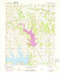
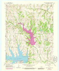
The waters of Lake Carl Blackwell dominate the southern landscape of this mid-1960s survey along the Noble and Payne County line. A significant geographical transition is visible in the center of the sheet, where blue hatching indicates the area destined to be submerged by the newly developing Lake McMurtry. This transition period shows the intersection of natural watercourses like North Stillwater Creek and Long Branch with industrial and agricultural footprints, including the Department of Agriculture Hydraulic Laboratory and the Rock Creek Oil Field.
Find a feature on this map
21 named features on this map. Tap any name to fly to it.
Don’t see what you’re looking for? This feature index may not catch every label — zoom into the map to look around manually.
Map Details
Editions of this 1966 Lake Carl Blackwell Map
3 editions found
Other maps of this area

1893 · Mulhall
USGS Topo · 1:62,500

1893 · Stillwater
USGS Topo · 1:62,500

1955 · Enid
USGS Topo · 1:250,000

1958 · Enid
USGS Topo · 1:250,000
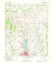
1967 · Stillwater North
USGS Topo · 1:24,000
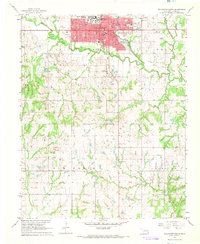
1967 · Stillwater South
USGS Topo · 1:24,000
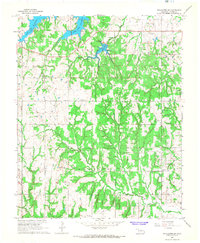
1967 · Stillwater SW
USGS Topo · 1:24,000

1972 · Morrison
USGS Topo · 1:24,000

1972 · Perry
USGS Topo · 1:24,000
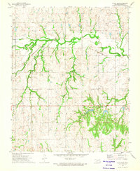
1972 · Black Bear
USGS Topo · 1:24,000