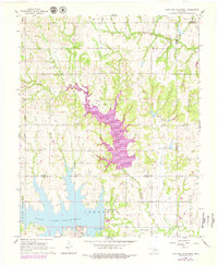
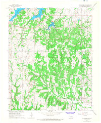
1966 Map of Lake Carl Blackwell
USGS Topo · Published 1979About this map
Lake McMurtry and Lake Carl Blackwell dominate this mid-century landscape on the border of Noble and Payne Counties. This 1966 survey, updated in the late 1970s, captures a transition in land use from industrial extraction to managed water resources and recreation. The South Lone Elm Oil Field occupies the northwest, marked by numerous drill holes and oil wells, while the southern reaches show the infrastructure of the Department of Agriculture Hydraulic Laboratory and a Sewage Disposal plant. Rural heritage is preserved in the location of the Shelton-Bethel Cemetery and Lanier Cemetery, tucked away from the major shoreline developments. The map also delineates specialized recreational or conservation zones like Walnut, Cherokee, and Eden along the multi-fingered inlets of the reservoirs, fed by North Stillwater Creek and Long Branch.
Find a feature on this map
20 named features on this map. Tap any name to fly to it.
Don’t see what you’re looking for? This feature index may not catch every label — zoom into the map to look around manually.
Map Details
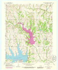
Editions of this 1966 Lake Carl Blackwell Map
3 editions found
Other maps of this area

1893 · Mulhall
USGS Topo · 1:62,500

1893 · Stillwater
USGS Topo · 1:62,500

1955 · Enid
USGS Topo · 1:250,000

1958 · Enid
USGS Topo · 1:250,000

1966 · Lake Carl Blackwell
USGS Topo · 1:24,000
1967 · Stillwater North
USGS Topo · 1:24,000
1967 · Stillwater South
USGS Topo · 1:24,000
1967 · Stillwater SW
USGS Topo · 1:24,000

1972 · Morrison
USGS Topo · 1:24,000

1972 · Perry
USGS Topo · 1:24,000