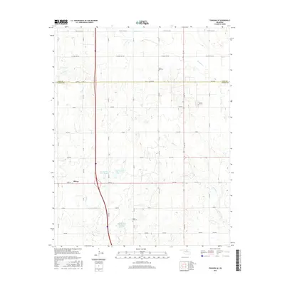
2016 Map of Tonkawa SE
USGS Topo · Published 2016About this map
Billings anchors the western edge of this landscape, situated just south of the Kay Co Noble Co line. The area is defined by a systematic grid of section roads and a series of managed water bodies, including Upper Red Rock Cr Site 5 Reservoir and Upper Red Rock Cr Site 6 Reservoir, which manage the drainage of several local tributaries. These waterways, including Grassy Cr, Birds Nest Cr, and Skinny Cr, cut through the terrain toward the south and east. For genealogists and local historians, the presence of the Floral Ridge Cem and Prairie View Cem provides specific points of interest for family research. The northern portion of the map is marked by rural thoroughfares like W White Eagle Rd and W Cowboy Hill Rd, reflecting the agrarian character of this part of Oklahoma.
Find a feature on this map
27 named features on this map. Tap any name to fly to it.
Don’t see what you’re looking for? This feature index may not catch every label — zoom into the map to look around manually.
Map Details
Editions of this 2016 Tonkawa SE Map
This is the sole edition of this map. No revisions or reprints were ever made.
Other maps of this area

1955 · Enid
USGS Topo · 1:250,000

1958 · Enid
USGS Topo · 1:250,000

1968 · Billings
USGS Topo · 1:24,000

1968 · Tonkawa SE
USGS Topo · 1:24,000

1968 · Marland
USGS Topo · 1:24,000

1968 · Ponca City NW
USGS Topo · 1:24,000

1968 · Eddy
USGS Topo · 1:24,000

1968 · Tonkawa
USGS Topo · 1:24,000

1972 · Perry NW
USGS Topo · 1:24,000

1972 · Red Rock
USGS Topo · 1:24,000