Old Maps of Weleetka, Oklahoma for Hiking & Exploration
Hike through history with 23 historic maps of Weleetka. Explore old trails, ghost towns, and forgotten backroads — perfect for outdoor adventurers and local explorers.
- Rediscover forgotten places: Map out old mining camps, roads, and footpaths that no longer exist on modern maps.
- Layer with modern tools: Combine with LiDAR or satellite views to plan hikes through historical terrain.
- Made for exploration: Popular among hikers, overlanders, and local history lovers.
Use these maps to find adventure and explore the hidden past of Weleetka.
Weleetka, OK maps
(23)- 1900 Map of Wewoka
 1900 Wewoka1900 Print · USGSIndian Territory at the turn of the century shows a landscape defined by tribal nations and the early expansion of the railway. Genealogists can trace family homesteads near Wewoka and Holdenville, or locate remote landmarks like Marks Store and the Baptist Mission.4 unique versions available
 - 1954 Map of Oklahoma City
 1954 Oklahoma City1954 Print · USGSOklahoma City and its surrounding counties are captured here in the early fifties during a period of significant postwar growth. Researchers can trace the development of the Turner Turnpike and locate aviation hubs like Tinker Field or Will Rogers Field.
 - 1957 Map of Oklahoma City, 1969 Print
 1957 Oklahoma City1969 Print · USGSCentral Oklahoma is captured here in a period of significant mid-century growth and industrialization. Researchers can trace family roots through numerous rural markers like Memory Lane Cem, New Hope School, and the sprawling grounds of Tinker Air Force Base.3 unique versions available
 - 1963 Map of Oklahoma City
 1963 Oklahoma City1963 Print · USGSCentral Oklahoma in the early sixties showcases a landscape of rapid suburban growth and established oil production. Researchers can trace historic rail lines like the Chicago Rock Island and Pacific RR or locate rural landmarks such as Mayflower School and Bethel Church.
 - 1967 Map of Pharoah, 1968 Print
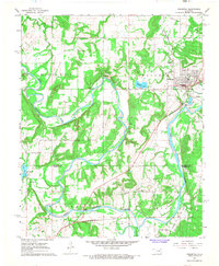
 1967 Pharoah1968 Print · USGSThe Oklahoma oil fields west of Henryetta are captured here during the late sixties, showcasing a landscape defined by petroleum extraction and rail transport. Genealogists can trace family locations through numerous sites like West Lawn Cemetery, Arbeka Ch, and the settlement at Pharoah.2 unique versions available
 - 1967 Map of Weleetka, 1968 Print
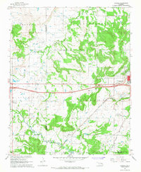
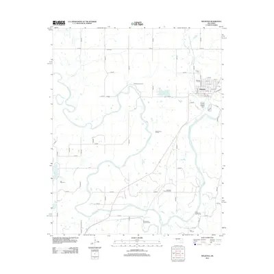
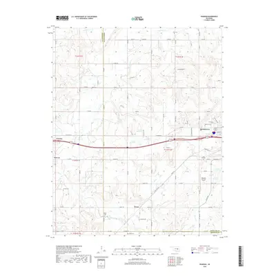
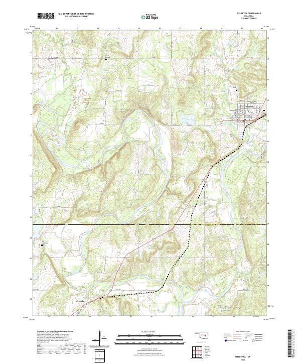
 1967 Weleetka1968 Print · USGSIn the heart of the Sooner State during the late sixties, this area shows a landscape defined by the winding North Canadian River and an active petroleum industry. Genealogists and historians can trace early community life through North Fork Cem, Alabama Ch, and the St Louis-San Francisco rail corridor.2 unique versions available
 - 1967 Map of Dustin, 1968 Print
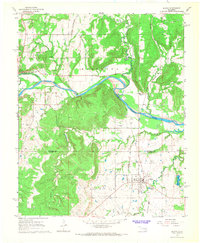 1967 Dustin1968 Print · USGSThe rail-and-river landscape near the Hughes County line comes to life in the late 1960s as a hub for the region's energy industry. Trace the heritage of local families at Mosewiley Cemetery or follow the Old Railroad Grade near Dustin.3 unique versions available
 - 1985 Map of Shawnee
 1985 Shawnee1985 Print · USGSCentral Oklahoma in the mid-eighties shows a landscape shaped by the North Canadian River and a maturing highway network. Trace family roots and old rail lines through Holdenville, Seminole, and the grounds of St Gregory College.2 unique versions available
 - 2010 Map of Weleetka, 2010 Print
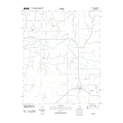
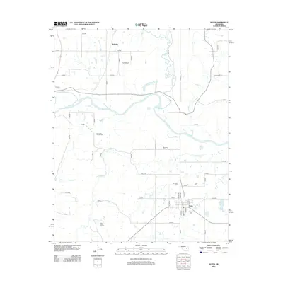
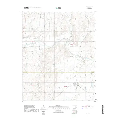
 2010 Weleetka2010 Print · USGSCovers Weleetka, including Wetumka, Hughes County, and other nearby areas
 - 2010 Map of Dustin, 2010 Print
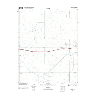
 2010 Dustin2010 Print · USGSCovers Weleetka, including Dustin, Bookertee, and other nearby areas
 - 2010 Map of Pharoah, 2010 Print
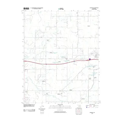 2010 Pharoah2010 Print · USGSCovers Weleetka, including Henryetta, Bryant, and other nearby areas
 - 2012 Map of Pharoah, 2012 Print
 2012 Pharoah2012 Print · USGSCovers Weleetka, including Henryetta, Bryant, and other nearby areas
 - 2012 Map of Dustin, 2012 Print
 2012 Dustin2012 Print · USGSCovers Weleetka, including Dustin, Bookertee, and other nearby areas
 - 2012 Map of Weleetka, 2012 Print
 2012 Weleetka2012 Print · USGSCovers Weleetka, including Wetumka, Hughes County, and other nearby areas
 - 2016 Map of Pharoah, 2016 Print
 2016 Pharoah2016 Print · USGSCovers Weleetka, including Henryetta, Bryant, and other nearby areas
 - 2016 Map of Weleetka, 2016 Print
 2016 Weleetka2016 Print · USGSCovers Weleetka, including Wetumka, Hughes County, and other nearby areas
 - 2016 Map of Dustin, 2016 Print
 2016 Dustin2016 Print · USGSCovers Weleetka, including Dustin, Bookertee, and other nearby areas
 - 2018 Map of Pharoah, 2018 Print
 2018 Pharoah2018 Print · USGSCovers Weleetka, including Henryetta, Bryant, and other nearby areas
 - 2018 Map of Weleetka, 2018 Print
 2018 Weleetka2018 Print · USGSCovers Weleetka, including Wetumka, Hughes County, and other nearby areas
 - 2018 Map of Dustin, 2018 Print
 2018 Dustin2018 Print · USGSCovers Weleetka, including Dustin, Bookertee, and other nearby areas
 - 2022 Map of Weleetka, 2022 Print
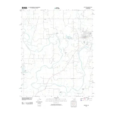
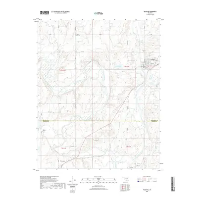
 2022 Weleetka2022 Print · USGSThe Okfuskee and Hughes county line comes to life in the early 2020s, centered on the river-valley communities of Weleetka and Wetumka. Researchers can trace local lineage through several identified burial grounds like Salt Creek Cem and Sand Creek Cem.
 - 2022 Map of Pharoah, 2022 Print
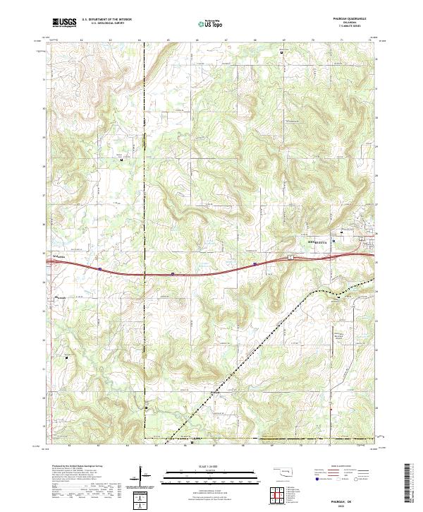 2022 Pharoah2022 Print · USGSThe borderlands of Okmulgee and Okfuskee counties are documented here in the early twenty-first century, centered on the growing hub of Henryetta. Genealogists can trace family heritage through numerous burial sites including West Lawn Cem, Likowski Cem, and Renkie Cem.
 - 2022 Map of Dustin, 2022 Print
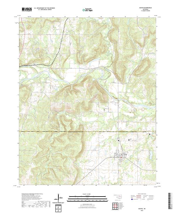 2022 Dustin2022 Print · USGSDustin and the surrounding river bottomlands are captured here in the early twenty-first century. Genealogists can locate several family and community burial grounds, including the Mosewiley Cem and Fife Cem, alongside the waters of the North Canadian River.
End of results
Showing maps 1-23 of 23
Top cities near Weleetka
- Henryetta historical maps
- Okemah historical maps
- Wetumka historical maps
- Dewar historical maps
- Schulter historical maps
- Dustin historical maps
See more
Top neighborhoods of Weleetka
Frequently asked questions
- What are the different types of historical maps available for Weleetka?
- What is the oldest map of Weleetka?
- Where can I purchase historical maps of Weleetka for my home or office?
- Where can I download high-res historical maps of Weleetka?
- Are there historical topographic maps available for Weleetka?
- Is there historical aerial imagery available for Weleetka?
- Where are historical maps of Weleetka sourced from?