Old Maps of Beggs, Oklahoma for Genealogy
Trace your family roots with 38 historic maps of Beggs. These high-res maps reveal old neighborhoods, homesites, landmarks, and streets — helping you uncover where your ancestors lived and how the area evolved over time.
- Explore historic neighborhoods: Identify where your relatives may have lived in the 1800s or 1900s.
- Compare maps over time: Trace the changes in streets, buildings, and landmarks for multi-generational research.
- Perfect for genealogy & ancestry research: Used by family historians and researchers to map out lineage and migration.
These maps are an incredible resource for exploring your personal connection to Beggs's past.
Beggs, OK maps
(38)- 1896 Map of Okmulgee, 1954 Print
 1896 Okmulgee1954 Print · USGSThe Creek Nation of the Indian Territory is captured here in the late nineteenth century, just before the turn of the century. Genealogists and researchers can trace early mission sites like Wealaka Mission and established frontier settlements including Council Hill and Wellington.
 - 1900 Map of Okmulgee
 1900 Okmulgee1900 Print · USGSThe Indian Territory of the Creek Nation is captured here during the late 1890s, just before statehood changed the region forever. Researchers can trace the early foundations of Okmulgee or locate vanished sites like Wealaka Mission and Wellington (Lee P.O.).6 unique versions available
 - 1901 Map of Nuyaka
 1901 Nuyaka1901 Print · USGSIndian Territory within the Creek Nation was undergoing rapid change in the late 19th century as railroads connected once-remote outposts. Researchers can trace early settlements and schools like Nuyaka Mission, Bristow, and the crossroads at Smiths Store before Oklahoma reached statehood.4 unique versions available
 - 1914 Map of Kiefer
 1914 Kiefer1914 Print · USGSCreek and Tulsa Counties are seen here during the height of the early oil boom, centered on the rail junctions and tank farms. Researchers can trace the development of petroleum infrastructure near Glenpool or locate vanished country schools like Blackout Forest School and Locust Hill School.2 unique versions available
 - 1916 Map of Kiefer
 1916 Kiefer1916 Print · USGSCreek County at the height of the early oil boom years is captured here in fine detail. Genealogists can trace the rural landscape through family-named schools like Crowson School, Bluebell School, and the Louisiana Baptist Church.3 unique versions available
 - 1946 Map of Fort Smith
 1946 Fort Smith1946 Print · USGSThe Arkansas-Oklahoma borderlands appear here in the mid-forties, as new reservoirs began to transform the river valleys. Genealogists and historians can trace rail-served towns from Muskogee to Fort Smith and locate landmarks like Camp Chaffee.
 - 1954 Map of Oklahoma City
 1954 Oklahoma City1954 Print · USGSOklahoma City and its surrounding counties are captured here in the early fifties during a period of significant postwar growth. Researchers can trace the development of the Turner Turnpike and locate aviation hubs like Tinker Field or Will Rogers Field.
 - 1957 Map of Oklahoma City, 1969 Print
 1957 Oklahoma City1969 Print · USGSCentral Oklahoma is captured here in a period of significant mid-century growth and industrialization. Researchers can trace family roots through numerous rural markers like Memory Lane Cem, New Hope School, and the sprawling grounds of Tinker Air Force Base.3 unique versions available
 - 1963 Map of Oklahoma City
 1963 Oklahoma City1963 Print · USGSCentral Oklahoma in the early sixties showcases a landscape of rapid suburban growth and established oil production. Researchers can trace historic rail lines like the Chicago Rock Island and Pacific RR or locate rural landmarks such as Mayflower School and Bethel Church.
 - 1965 Map of Fort Smith
 1965 Fort Smith1965 Print · USGSEastern Oklahoma and Western Arkansas are captured here during a period of massive post-war change as new reservoirs reshaped the river valleys. Genealogists and historians can trace the rail networks of the Midland Valley RR and find established communities like Stilwell, Sallisaw, and Stigler.
 - 1967 Map of Fort Smith
 1967 Fort Smith1967 Print · USGSThe Arkansas River valley and the foothills of the Ozarks are captured here during a period of significant military and industrial activity. Researchers can trace the sprawling bounds of Camp Chaffee and Camp Gruber or locate vanished rail stops along the Midland Valley RR.
 - 1971 Map of Spanish Peak, 1972 Print
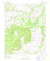 1971 Spanish Peak1972 Print · USGSThe Oklahoma borderlands of Tulsa and Okmulgee counties come alive in the early seventies, showing a landscape shaped by petroleum and ranching. Genealogists and local historians can trace the foundations of Hectorville, locate the Liberty Sch, and find family sites like the Bruner Cem.2 unique versions available
 - 1971 Map of Okmulgee North, 1973 Print
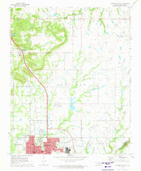 1971 Okmulgee North1973 Print · USGSOklahoma's petroleum and rail landscapes are on full display in the early seventies, centered on the growing hub of Okmulgee. Genealogists and historians can trace rural congregations at Natura Mission and Groveania Ch, or locate family sites near Jerusalem Cem.
 - 1973 Map of Lake Boren, 1976 Print
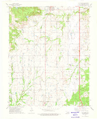 1973 Lake Boren1976 Print · USGSCreek and Okmulgee Counties are shown in the early seventies during a period of active oil and gas extraction. Researchers can locate family sites and rural landmarks like Oakwood Cem, New Bethel Ch, and the tracks of the St Louis-San Francisco railroad.
 - 1973 Map of Beggs, 1976 Print
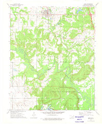 1973 Beggs1976 Print · USGSOkmulgee County at the start of the 1970s shows a landscape of oil production and conservation. Genealogists and historians can trace numerous rural burial sites like Old Post Oak Cem and Huckaby Cem alongside the tracks of the St Louis - San Francisco railroad.
 - 1978 Map of Muskogee, 1979 Print
 1978 Muskogee1979 Print · USGSThe confluence of the Arkansas, Verdigris, and Neosho Rivers defines the Muskogee region in the late seventies. Genealogists and historians can trace the footprints of Camp Gruber (Abandoned), the campus of Bacone College, and early aviation at Hatbox Field.
 - 1978 Map of Fort Smith, 1979 Print
 1978 Fort Smith1979 Print · USGSThe Arkansas-Oklahoma borderlands in the late seventies show a landscape shaped by massive river reservoirs and sprawling military reservations. Trace the historic rail lines of the Missouri Pacific RR and locate regional landmarks like Fort Gibson, Tenkiller Ferry Lake, and Barling.2 unique versions available
 - 1990 Map of Bristow
 1990 Bristow1990 Print · USGSCentral Oklahoma's township and range grid is on full display in the 1990s, anchored by the crossroads at Bristow and Sapulpa. Researchers can trace old community lines and regional landmarks from Heyburn Reservoir to the historic streets of Boley.
 - 2010 Map of Okmulgee North, 2010 Print
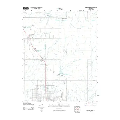 2010 Okmulgee North2010 Print · USGSOkmulgee County at the start of the decade reveals a complex network of rural infrastructure and water management. Genealogists can locate Jerusalem Cemetery and Miller Cemetery, while tracking landmarks like Camp Burke and the Okmulgee Municipal Airport.
 - 2010 Map of Beggs, 2010 Print
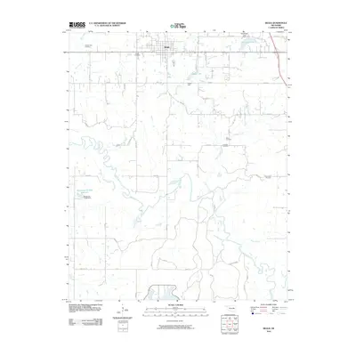 2010 Beggs2010 Print · USGSThe community of Beggs and the meandering Deep Fork river are captured here in the early twenty-first century. Genealogists can locate several family and community burial grounds, including the Old Post Oak Cemetery and Huckaby Cemetery.
 - 2010 Map of Lake Boren, 2010 Print
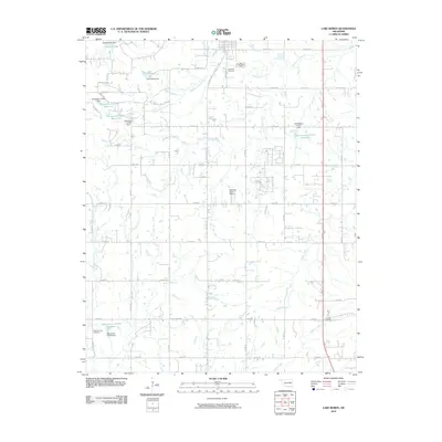 2010 Lake Boren2010 Print · USGSTulsa County at the start of the twenty-first century shows a landscape defined by prairie creeks and a growing residential grid. Researchers can trace family history at Oakwood Cemetery or locate landmarks like Lake Boren and Ragwing Acres Airport.
 - 2010 Map of Spanish Peak, 2010 Print
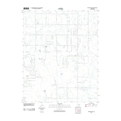 2010 Spanish Peak2010 Print · USGSThe rural landscape south of Tulsa is captured here in the early twenty-first century as small communities and family farms dot the plains. Genealogists and local historians can locate the Bruner Cemetery and trace the paths of Duck Creek or visit Hoot Owl Hollow.
 - 2012 Map of Beggs, 2012 Print
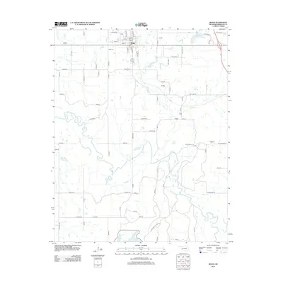 2012 Beggs2012 Print · USGSBeggs and the surrounding Okmulgee County countryside are shown here in the early twenty-first century, bounded by the winding Deep Fork. Researchers can locate several burial grounds like Beggs Cemetery and Old Post Oak Cemetery or trace the boundaries of the Okmulgee Wildlife Area.
 - 2012 Map of Spanish Peak, 2012 Print
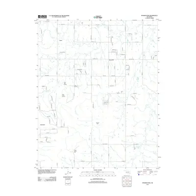 2012 Spanish Peak2012 Print · USGSSouthern Tulsa County in the early twenty-first century reveals a landscape where rural roots meet modern growth. Genealogists and local historians can trace family locations near Hectorville, Liberty, and Bruner Cemetery.
 - 2012 Map of Lake Boren, 2012 Print
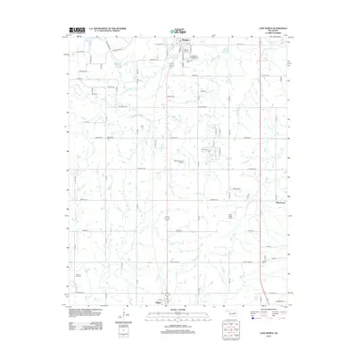 2012 Lake Boren2012 Print · USGSThe Okmulgee County countryside near Mounds and Beggs appears here in the early 2010s. Researchers can locate family roots at New Post Oak Cem and New Bethel Cem or trace the rural drainage of Salt Cr and Eagle Cr.
Showing maps 1-25 of 38
Top cities near Beggs
- Tulsa historical maps
- Bixby historical maps
- Sapulpa historical maps
- Jenks historical maps
- Okmulgee historical maps
- Glenpool historical maps
See more
Frequently asked questions
- What are the different types of historical maps available for Beggs?
- What is the oldest map of Beggs?
- Where can I purchase historical maps of Beggs for my home or office?
- Where can I download high-res historical maps of Beggs?
- Are there historical topographic maps available for Beggs?
- Is there historical aerial imagery available for Beggs?
- Where are historical maps of Beggs sourced from?