Old Maps of Henryetta, Oklahoma for Genealogy
Trace your family roots with 23 historic maps of Henryetta. These high-res maps reveal old neighborhoods, homesites, landmarks, and streets — helping you uncover where your ancestors lived and how the area evolved over time.
- Explore historic neighborhoods: Identify where your relatives may have lived in the 1800s or 1900s.
- Compare maps over time: Trace the changes in streets, buildings, and landmarks for multi-generational research.
- Perfect for genealogy & ancestry research: Used by family historians and researchers to map out lineage and migration.
These maps are an incredible resource for exploring your personal connection to Henryetta's past.
Henryetta, OK maps
(23)- 1900 Map of Canadian
 1900 Canadian1900 Print · USGSIndian Territory at the turn of the century shows a landscape of tribal nations and developing rail towns along the CANADIAN RIVER. Genealogists and historians can trace early settlements like Fishertown and Indianola or the original Creek Nation Choctaw Nation Boundary Line.6 unique versions available
 - 1900 Map of Wewoka
 1900 Wewoka1900 Print · USGSIndian Territory at the turn of the century shows a landscape defined by tribal nations and the early expansion of the railway. Genealogists can trace family homesteads near Wewoka and Holdenville, or locate remote landmarks like Marks Store and the Baptist Mission.4 unique versions available
 - 1946 Map of Fort Smith
 1946 Fort Smith1946 Print · USGSThe Arkansas-Oklahoma borderlands appear here in the mid-forties, as new reservoirs began to transform the river valleys. Genealogists and historians can trace rail-served towns from Muskogee to Fort Smith and locate landmarks like Camp Chaffee.
 - 1954 Map of Oklahoma City
 1954 Oklahoma City1954 Print · USGSOklahoma City and its surrounding counties are captured here in the early fifties during a period of significant postwar growth. Researchers can trace the development of the Turner Turnpike and locate aviation hubs like Tinker Field or Will Rogers Field.
 - 1957 Map of Oklahoma City, 1969 Print
 1957 Oklahoma City1969 Print · USGSCentral Oklahoma is captured here in a period of significant mid-century growth and industrialization. Researchers can trace family roots through numerous rural markers like Memory Lane Cem, New Hope School, and the sprawling grounds of Tinker Air Force Base.3 unique versions available
 - 1962 Map of Henryetta, 1963 Print
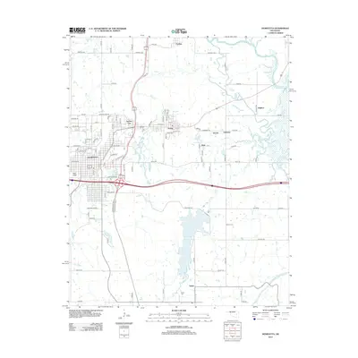
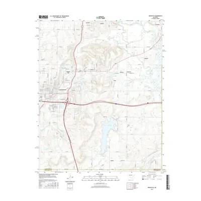
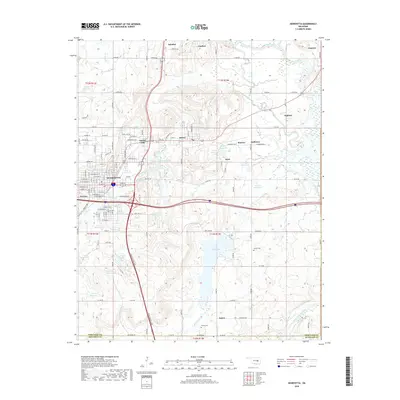
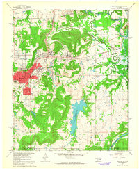 1962 Henryetta1963 Print · USGSHenryetta and its surrounding rail junctions are captured here in the early sixties as the landscape prepared for the creation of Eufaula Reservoir. Researchers can trace historic industrial sites like the Smelter and small communities such as Spelter City, Dewar, and Kusa.4 unique versions available
 - 1963 Map of Oklahoma City
 1963 Oklahoma City1963 Print · USGSCentral Oklahoma in the early sixties showcases a landscape of rapid suburban growth and established oil production. Researchers can trace historic rail lines like the Chicago Rock Island and Pacific RR or locate rural landmarks such as Mayflower School and Bethel Church.
 - 1965 Map of Fort Smith
 1965 Fort Smith1965 Print · USGSEastern Oklahoma and Western Arkansas are captured here during a period of massive post-war change as new reservoirs reshaped the river valleys. Genealogists and historians can trace the rail networks of the Midland Valley RR and find established communities like Stilwell, Sallisaw, and Stigler.
 - 1967 Map of Fort Smith
 1967 Fort Smith1967 Print · USGSThe Arkansas River valley and the foothills of the Ozarks are captured here during a period of significant military and industrial activity. Researchers can trace the sprawling bounds of Camp Chaffee and Camp Gruber or locate vanished rail stops along the Midland Valley RR.
 - 1967 Map of Pharoah, 1968 Print
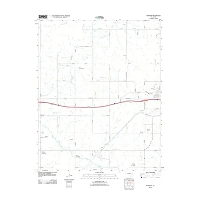
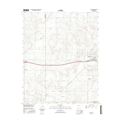
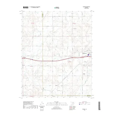
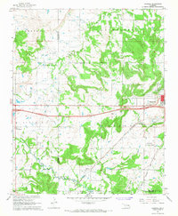 1967 Pharoah1968 Print · USGSThe Oklahoma oil fields west of Henryetta are captured here during the late sixties, showcasing a landscape defined by petroleum extraction and rail transport. Genealogists can trace family locations through numerous sites like West Lawn Cemetery, Arbeka Ch, and the settlement at Pharoah.2 unique versions available
 - 1978 Map of Eufaula, 1979 Print
 1978 Eufaula1979 Print · USGSEastern Oklahoma in the late seventies is defined by the sprawling waters of Eufaula Lake and the dense timber of the Sans Bois Mountains. Genealogists and historians can trace the development of towns like Checotah and Stigler or locate legacy sites like the Old R R Grade and Robbers Cave State Park.
 - 1978 Map of Fort Smith, 1979 Print
 1978 Fort Smith1979 Print · USGSThe Arkansas-Oklahoma borderlands in the late seventies show a landscape shaped by massive river reservoirs and sprawling military reservations. Trace the historic rail lines of the Missouri Pacific RR and locate regional landmarks like Fort Gibson, Tenkiller Ferry Lake, and Barling.2 unique versions available
 - 1985 Map of Shawnee
 1985 Shawnee1985 Print · USGSCentral Oklahoma in the mid-eighties shows a landscape shaped by the North Canadian River and a maturing highway network. Trace family roots and old rail lines through Holdenville, Seminole, and the grounds of St Gregory College.2 unique versions available
 - 2010 Map of Henryetta, 2010 Print
 2010 Henryetta2010 Print · USGSCovers Henryetta, including Dewar, Schulter, and other nearby areas
 - 2010 Map of Pharoah, 2010 Print
 2010 Pharoah2010 Print · USGSCovers Henryetta, including Weleetka, Bryant, and other nearby areas
 - 2012 Map of Pharoah, 2012 Print
 2012 Pharoah2012 Print · USGSCovers Henryetta, including Weleetka, Bryant, and other nearby areas
 - 2012 Map of Henryetta, 2012 Print
 2012 Henryetta2012 Print · USGSCovers Henryetta, including Dewar, Schulter, and other nearby areas
 - 2016 Map of Pharoah, 2016 Print
 2016 Pharoah2016 Print · USGSCovers Henryetta, including Weleetka, Bryant, and other nearby areas
 - 2016 Map of Henryetta, 2016 Print
 2016 Henryetta2016 Print · USGSCovers Henryetta, including Dewar, Schulter, and other nearby areas
 - 2018 Map of Pharoah, 2018 Print
 2018 Pharoah2018 Print · USGSCovers Henryetta, including Weleetka, Bryant, and other nearby areas
 - 2018 Map of Henryetta, 2018 Print
 2018 Henryetta2018 Print · USGSCovers Henryetta, including Dewar, Schulter, and other nearby areas
 - 2022 Map of Pharoah, 2022 Print
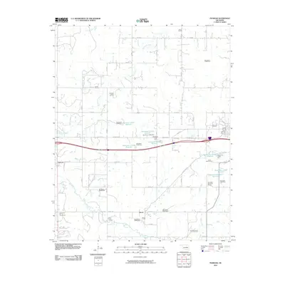
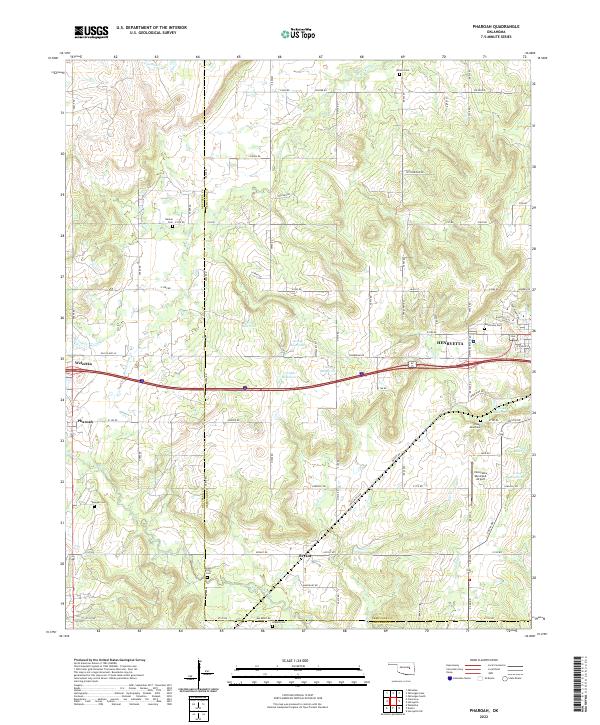 2022 Pharoah2022 Print · USGSThe borderlands of Okmulgee and Okfuskee counties are documented here in the early twenty-first century, centered on the growing hub of Henryetta. Genealogists can trace family heritage through numerous burial sites including West Lawn Cem, Likowski Cem, and Renkie Cem.
 - 2022 Map of Henryetta, 2022 Print
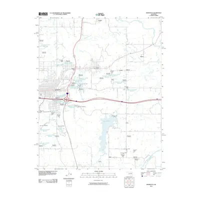
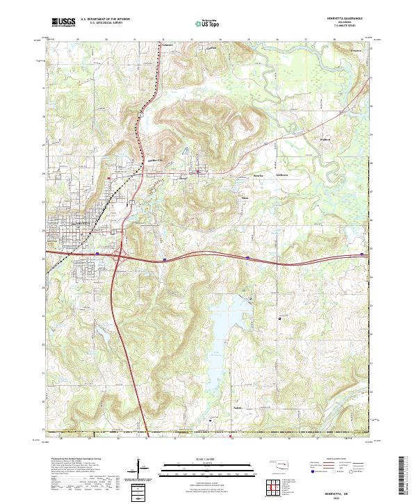 2022 Henryetta2022 Print · USGSHenryetta and its surrounding Oklahoma coal-country settlements are shown here in the early twenty-first century. Researchers can trace local lineages through Sonora Cemetery and explore the complex water systems of Lake Henryetta and Nichols Lake.
End of results
Showing maps 1-23 of 23
Top cities near Henryetta
- Okmulgee historical maps
- Morris historical maps
- Wetumka historical maps
- Dewar historical maps
- Weleetka historical maps
- Schulter historical maps
See more
Top neighborhoods of Henryetta
Frequently asked questions
- What are the different types of historical maps available for Henryetta?
- What is the oldest map of Henryetta?
- Where can I purchase historical maps of Henryetta for my home or office?
- Where can I download high-res historical maps of Henryetta?
- Are there historical topographic maps available for Henryetta?
- Is there historical aerial imagery available for Henryetta?
- Where are historical maps of Henryetta sourced from?