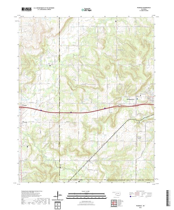
2022 Map of Pharoah
USGS Topo · Published 2022About this map
Henryetta serves as the primary urban center in this Oklahoma landscape, situated at the boundary of Okmulgee and Okfuskee counties. The area is marked by a dense concentration of burial sites, including the West Lawn Cem near the city center and the Creek Mine Cem to the south, reflecting the deep genealogical roots of the region. Transportation and transit define the local infrastructure, from the Henryetta Municipal Airport on the eastern edge to the modern corridor of Interstate 40 passing through Weleetka.
Find a feature on this map
81 named features on this map. Tap any name to fly to it.
Don’t see what you’re looking for? This feature index may not catch every label — zoom into the map to look around manually.
Map Details
Editions of this 2022 Pharoah Map
This is the sole edition of this map. No revisions or reprints were ever made.
Other maps of this area

1896 · Okmulgee
USGS Topo · 1:125,000

1900 · Canadian
USGS Topo · 1:125,000

1900 · Wewoka
USGS Topo · 1:125,000

1900 · Okmulgee
USGS Topo · 1:125,000

1901 · Nuyaka
USGS Topo · 1:125,000

1946 · Fort Smith
USGS Topo · 1:250,000

1954 · Oklahoma City
USGS Topo · 1:250,000

1957 · Oklahoma City
USGS Topo · 1:250,000

1962 · Henryetta
USGS Topo · 1:24,000

1962 · Henryetta SW
USGS Topo · 1:24,000