Old Maps of Okesa, Oklahoma for Academic Research
Study the evolution of Okesa with 12 high-resolution historic maps. Whether you're teaching, researching, or modeling changes in land use, these maps provide essential visual documentation of urban, environmental, and geographic change.
- Analyze long-term change: Track patterns in development, transportation, and natural features.
- Ideal for environmental or urban studies: Support academic projects with primary historical map data.
- Use in the classroom or lab: Educators and researchers rely on these maps to bring historical context to life.
These maps are a powerful tool for teaching, research, and visualizing how Okesa has changed over the decades.
Okesa, OK maps
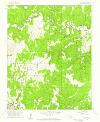
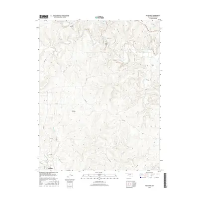
(12)- 1906 Map of Nelagoney, 1975 Print
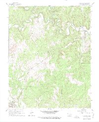 1906 Nelagoney1975 Print · USGSOsage County is captured here during a mid-century era of petroleum production and rail transit. Researchers can trace the routes of the Missouri Kansas Texas railroad and locate small stops like Okesa, Kiheki, and the Boy Scout Camp.
 - 1909 Map of Pawhuska, 1957 Print
 1909 Pawhuska1957 Print · USGSOsage County comes alive in this turn-of-the-century survey of the terrain around Pawhuska and its neighboring rail towns. Trace the paths of three major railroads as they pass through Barnsdall, find landmarks like Daltons Caves, or locate the White Swan Ford.
 - 1910 Map of Pawhuska
 1910 Pawhuska1910 Print · USGSOsage County's landscape at the dawn of Oklahoma statehood reveals a transition from tribal lands to a rail-connected economy. Genealogists and historians can trace early settlements like Wynona and Bigheart, or find local landmarks like Daltons Caves and White Swan Ford.2 unique versions available
 - 1955 Map of Enid, 1966 Print
 1955 Enid1966 Print · USGSNorth-central Oklahoma's transition from open plains to the blackjack hills of the Osage Indian Reservation is captured in the mid-1950s. Researchers can trace the development of the Naval Reserve Oil Field, the grounds of Vance AFB, and the early footprints of Tulsa and Stillwater.4 unique versions available
 - 1958 Map of Enid
 1958 Enid1958 Print · USGSNorthern Oklahoma is mapped here in the late fifties, showcasing a dense network of petroleum production and historic tribal lands. Researchers can trace the legacy of the Osage Indian Reservation, early energy hubs like the Cushing Oil Field, and the Chilocco Indian Agricultural School.2 unique versions available
 - 1960 Map of Nelagoney, 1961 Print
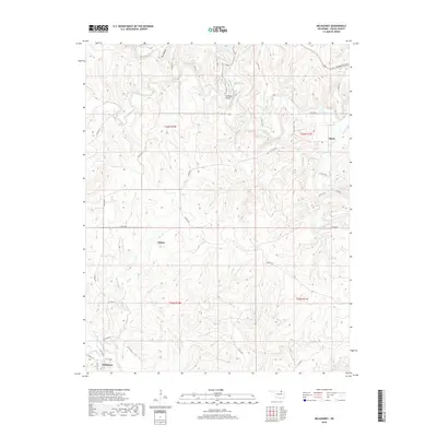
 1960 Nelagoney1961 Print · USGSThe Osage Hills at the start of the sixties were a landscape defined by petroleum production and quiet creek valleys. Local historians can trace the paths of the Missouri Kansas Texas railroad through Okesa and identify oil wells across Strike Axe.2 unique versions available
 - 1985 Map of Pawhuska, 1986 Print
 1985 Pawhuska1986 Print · USGSThe Osage Indian Reservation and its tribal capital at Pawhuska are seen here in the mid-1980s as the region's ranching and oil legacies matured. Genealogists and historians can trace family-named sites and vanished industrial tracks near Bigheart, Wynona, and Gray Horse.2 unique versions available
 - 2010 Map of Nelagoney, 2010 Print
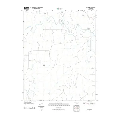 2010 Nelagoney2010 Print · USGSCovers Okesa, including Kiheki, Nelagoney, and other nearby areas
 - 2012 Map of Nelagoney, 2012 Print
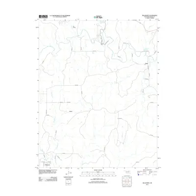 2012 Nelagoney2012 Print · USGSCovers Okesa, including Kiheki, Nelagoney, and other nearby areas
 - 2016 Map of Nelagoney, 2016 Print
 2016 Nelagoney2016 Print · USGSCovers Okesa, including Kiheki, Nelagoney, and other nearby areas
 - 2018 Map of Nelagoney, 2018 Print
 2018 Nelagoney2018 Print · USGSCovers Okesa, including Kiheki, Nelagoney, and other nearby areas
 - 2022 Map of Nelagoney, 2022 Print
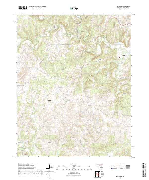 2022 Nelagoney2022 Print · USGSThe Osage Hills in the early 2020s are defined by quiet settlements and winding waterways. Researchers can trace the layout of Nelagoney, Kiheki, and Okesa or locate landmarks like Lookout Point and Peters Lake.
End of results
Showing maps 1-12 of 12
Top cities near Okesa
- Bartlesville historical maps
- Pawhuska historical maps
- Dewey historical maps
- Barnsdall historical maps
- Copan historical maps
- Ramona historical maps
See more
Frequently asked questions
- What are the different types of historical maps available for Okesa?
- What is the oldest map of Okesa?
- Where can I purchase historical maps of Okesa for my home or office?
- Where can I download high-res historical maps of Okesa?
- Are there historical topographic maps available for Okesa?
- Is there historical aerial imagery available for Okesa?
- Where are historical maps of Okesa sourced from?